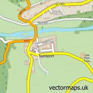
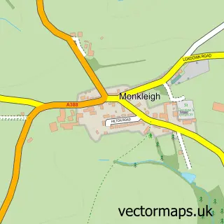
This Great Torrington street map is a detailed vector street map covering a 750m x 750m area. Select a larger area to create and download your own vector street map of Great Torrington.
The 750-metre map sample for Great Torrington covers 334 mapped buildings and approximately 20.5 km of road detail, of which 30 named roads are named. The immediate area includes 2 GP surgeries, 4 pubs and 2 MOT stations within 2 miles. The wider area around Great Torrington features 6 tourism points of interest, 11 food and drink venues and 2 hotels. To create a larger or custom map of Great Torrington, the map builder lets you define your own coverage area and download editable SVG, PDF and PNG files.
Create a larger editable map of Great Torrington
Choose any area you need and generate a high-quality vector map instantly. Perfect for print, planning, design, business and personal use.

This Great Torrington street map in Devon is available as downloadable SVG, PDF and PNG map files, or as a printed map for planning, business, display, education, local information and design work. You can also create a larger custom map area using the map selector.
What this Great Torrington map sample shows
Great Torrington lies within Great Torrington Cp parish, part of Great Torrington ward in the Torridge District local authority area. The postcode geography for this area includes the EX postcode area, the EX38 postcode district and the EX38 8 postcode sector. Residents fall under the Nhs Devon Integrated Care Board for NHS services.
Local features near Great Torrington
Within 2 milesAmenities and services in and around Great Torrington.
Administrative and postcode information for Great Torrington
The local authority covering Great Torrington is Torridge District, within the county of Devon. The settlement lies within Great Torrington ward and Great Torrington Cp civil parish. The EX38 postcode district and EX38 8 postcode sector serve the immediate area. NHS provision in the area is delivered through Northern Devon Nhs Trust.
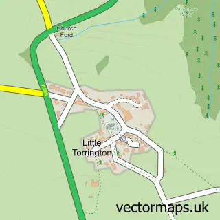
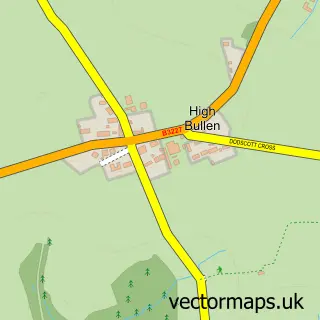
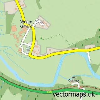
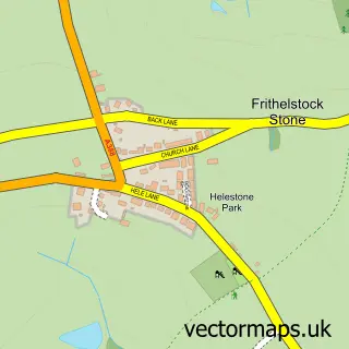
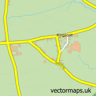
Nearby street map samples around Great Torrington

More street maps in Devon
750 metre map area coverage
Boundary, postcode and point of interest information for the 750m x 750m rectangle centred on this sample map.
Boundaries containing map centre
Constituency: Torridge and Tavistock Co Const
County: Devon County
District: Torridge District
Icb: NHS Devon ICB
Parish: Great Torrington CP
Police Force: devon and cornwall
Postcode District: EX38
Postcode Sector: EX38 8
Ward: Great Torrington Ward
Nearby boundaries intersecting sample
Parish: Little Torrington CP
Postcode Sector: EX38 7
Ward: Shebbear & Langtree Ward
Postcode coverage
POI category counts
Hair Salon: 6
Professional Services: 6
Art Gallery: 5
Banks: 5
Cafe: 5
Indian Restaurant: 5
Building Supply Store: 4
Convenience Store: 4
Pet Groomer: 4
Pub: 4
Sample points of interest
- Berrys
- St Michael and All Angels
- Attic Gems Antiques
- Collectability
- Times Past- Great Torrington
- Squires Electrical
- Constructive Consulting SW
- 14 the Gallery
- Duane's Carvings & Funky Threadz
- Ocean Arts North Devon
- WildWood and Willow
- Wolf and Water Arts Company
Create a larger editable map of Great Torrington
This sample shows only a 750 metre area. To create a larger map of Great Torrington, use our map builder to choose your own coverage area, add titles and download editable SVG, PDF and PNG files.
Create a custom map of Great Torrington