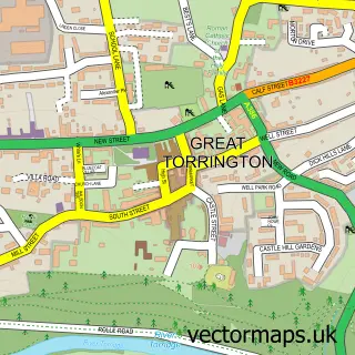
This Taddiport street map is a detailed vector street map covering a 750m x 750m area. Select a larger area to create and download your own vector street map of Taddiport.
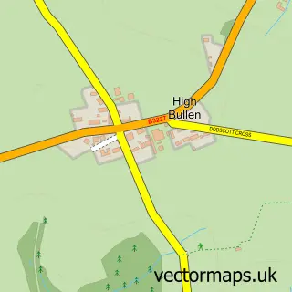
The 750-metre map sample for Taddiport covers 127 mapped buildings and approximately 15.4 km of road detail, of which 7 named roads are named. The immediate area includes 2 GP surgeries within 2 miles, 1 pub and 2 MOT stations within 2 miles. The wider area around Taddiport features 1 food and drink venue, 1 hotel and 1 campsite within 2 miles. To create a larger or custom map of Taddiport, the map builder lets you define your own coverage area and download editable SVG, PDF and PNG files.
Create a larger editable map of Taddiport
Choose any area you need and generate a high-quality vector map instantly. Perfect for print, planning, design, business and personal use.

This Taddiport street map in Devon is available as downloadable SVG, PDF and PNG map files, or as a printed map for planning, business, display, education, local information and design work. You can also create a larger custom map area using the map selector.
What this Taddiport map sample shows
Taddiport lies within Great Torrington Cp parish, part of Great Torrington ward in the Torridge District local authority area. The postcode geography for this area includes the EX postcode area, the EX38 postcode district and the EX38 8 postcode sector. Residents fall under the Nhs Devon Integrated Care Board for NHS services.
Local features near Taddiport
Within 2 milesAmenities and services in and around Taddiport.
Administrative and postcode information for Taddiport
The local authority covering Taddiport is Torridge District, within the county of Devon. The settlement lies within Great Torrington ward and Great Torrington Cp civil parish. The EX38 postcode district and EX38 8 postcode sector serve the immediate area. NHS provision in the area is delivered through Northern Devon Nhs Trust.
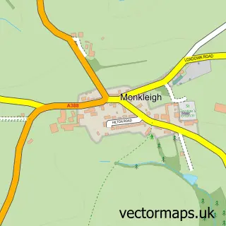
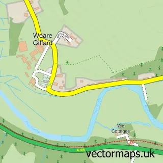
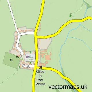
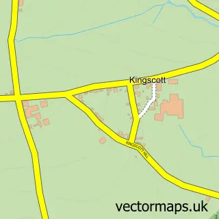
Nearby street map samples around Taddiport

More street maps in Devon
750 metre map area coverage
Boundary, postcode and point of interest information for the 750m x 750m rectangle centred on this sample map.
Boundaries containing map centre
Constituency: Torridge and Tavistock Co Const
County: Devon County
District: Torridge District
Icb: NHS Devon ICB
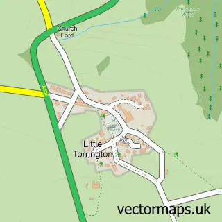
Parish: Little Torrington CP
Police Force: devon and cornwall
Postcode District: EX38
Postcode Sector: EX38 8
Ward: Shebbear & Langtree Ward
Nearby boundaries intersecting sample
Parish: Great Torrington CP
Ward: Great Torrington Ward
Postcode coverage
POI category counts
Anglican Church: 1
Caterer: 1
Child Care And Day Care: 1
Church Cathedral: 1
Farm: 1
Freight And Cargo Service: 1
Hotel: 1
Marketing Consultant: 1
Nursery And Gardening: 1
Preschool: 1
Sample points of interest
- St Mary Magdalene
- Hogster Hog Roasts
- Highbridge Community Resource Centre
- Torrington Methodist Church
- Buckingham House
- M & D Transport
- Way Barton
- Reid Electrical
- Lazy Acres Nursery
- Lovacott Nursery
- The Quinlan Arms
- Torridge Inn
Create a larger editable map of Taddiport
This sample shows only a 750 metre area. To create a larger map of Taddiport, use our map builder to choose your own coverage area, add titles and download editable SVG, PDF and PNG files.
Create a custom map of Taddiport