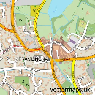
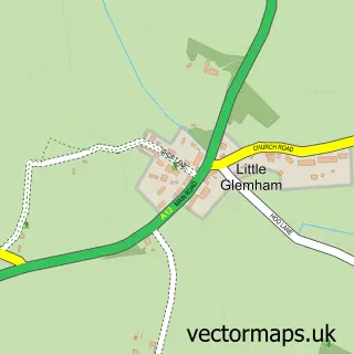
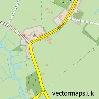
This Hacheston street map is a detailed vector street map covering a 750m x 750m area. Select a larger area to create and download your own vector street map of Hacheston.
The 750-metre map sample for Hacheston covers 104 mapped buildings and approximately 4.2 km of road detail, of which 2 named roads are named. The immediate area includes 1 MOT station, with 2 within 2 miles. The wider area around Hacheston features 1 tourism point of interest and 2 campsites within 2 miles. To create a larger or custom map of Hacheston, the map builder lets you define your own coverage area and download editable SVG, PDF and PNG files.
Create a larger editable map of Hacheston
Choose any area you need and generate a high-quality vector map instantly. Perfect for print, planning, design, business and personal use.

This Hacheston street map in Suffolk is available as downloadable SVG, PDF and PNG map files, or as a printed map for planning, business, display, education, local information and design work. You can also create a larger custom map area using the map selector.
What this Hacheston map sample shows
Hacheston lies within Hacheston Cp parish, part of Wickham Market ward in the East Suffolk District local authority area. The postcode geography for this area includes the IP postcode area, the IP13 postcode district and the IP13 0 postcode sector. Residents fall under the Nhs Suffolk And North East Essex Integrated Care Board for NHS services.
Local features near Hacheston
Within 2 milesAmenities and services in and around Hacheston.
Administrative and postcode information for Hacheston
Hacheston lies within Hacheston Cp parish, part of Wickham Market ward in the East Suffolk District local authority area. The postcode geography for this area includes the IP postcode area, the IP13 postcode district and the IP13 0 postcode sector. Residents fall under the Nhs Suffolk And North East Essex Integrated Care Board for NHS services.
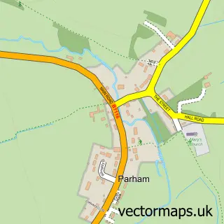
Nearby street map samples around Hacheston

More street maps in Suffolk
750 metre map area coverage
Boundary, postcode and point of interest information for the 750m x 750m rectangle centred on this sample map.
Boundaries containing map centre
Constituency: Central Suffolk and North Ipswich Co Const
County: Suffolk County
District: East Suffolk District
Icb: NHS Essex ICB
Parish: Hacheston CP
Police Force: suffolk
Postcode District: IP13
Postcode Sector: IP13 0
Ward: Wickham Market Ward
Nearby boundaries intersecting sample
Parish: Marlesford CP, Parham CP
Postcode Sector: IP13 9
Ward: Framlingham Ward
Postcode coverage
POI category counts
Accountant: 1
Automotive Repair: 1
Hair Salon: 1
Landmark And Historical Building: 1
Music School: 1
Pharmaceutical Products Wholesaler: 1
Rv Rentals: 1
Train Station: 1
Sample points of interest
- Richard Bacon Associates
- AT Autoworks
- Beauty Therapy by Clare
- Hacheston, Suffolk
- Daniel Wherrett
- Red Poll Meats
- Fram Motorhome Hire
- Hacheston Halt railway station
Create a larger editable map of Hacheston
This sample shows only a 750 metre area. To create a larger map of Hacheston, use our map builder to choose your own coverage area, add titles and download editable SVG, PDF and PNG files.
Create a custom map of Hacheston