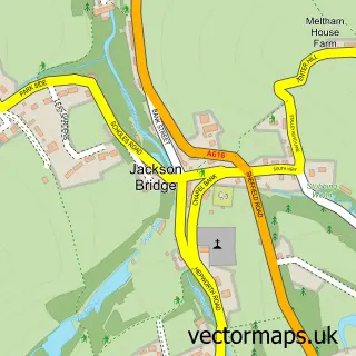
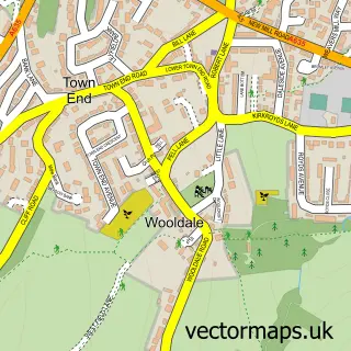
This Hade Edge street map is a detailed vector street map covering a 750m x 750m area. Select a larger area to create and download your own vector street map of Hade Edge.
The 750-metre map sample for Hade Edge covers 171 mapped buildings and approximately 10.8 km of road detail, of which 15 named roads are named. The immediate area includes 1 school, 1 pub and 5 MOT stations within 2 miles. The wider area around Hade Edge features 1 tourism point of interest and 1 food and drink venue. To create a larger or custom map of Hade Edge, the map builder lets you define your own coverage area and download editable SVG, PDF and PNG files.
Create a larger editable map of Hade Edge
Choose any area you need and generate a high-quality vector map instantly. Perfect for print, planning, design, business and personal use.

This Hade Edge street map in West Yorkshire is available as downloadable SVG, PDF and PNG map files, or as a printed map for planning, business, display, education, local information and design work. You can also create a larger custom map area using the map selector.
What this Hade Edge map sample shows
Hade Edge lies within Holme Valley Cp parish, part of Holme Valley South ward in the Kirklees District (B) local authority area. The postcode geography for this area includes the HD postcode area, the HD9 postcode district and the HD9 2 postcode sector. Residents fall under the Nhs West Yorkshire Integrated Care Board for NHS services.
Local features near Hade Edge
Within 2 milesAmenities and services in and around Hade Edge.
Administrative and postcode information for Hade Edge
Hade Edge lies within Holme Valley Cp parish, part of Holme Valley South ward in the Kirklees District (B) local authority area. The postcode geography for this area includes the HD postcode area, the HD9 postcode district and the HD9 2 postcode sector. Residents fall under the Nhs West Yorkshire Integrated Care Board for NHS services.
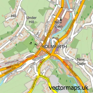
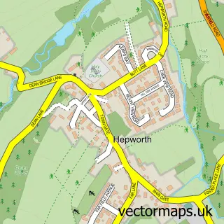
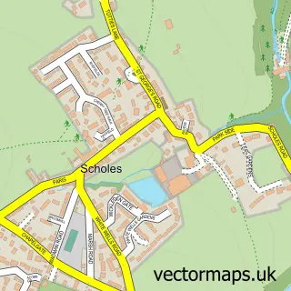
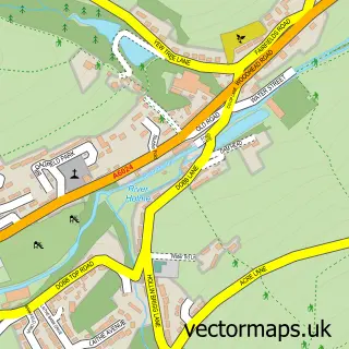
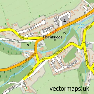
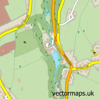
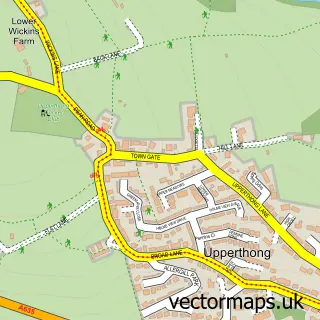
Nearby street map samples around Hade Edge

More street maps in West Yorkshire
750 metre map area coverage
Boundary, postcode and point of interest information for the 750m x 750m rectangle centred on this sample map.
Boundaries containing map centre
Constituency: Colne Valley Co Const
District: Kirklees District (B)
Icb: NHS West Yorkshire ICB
Parish: Holme Valley CP
Police Force: west yorkshire
Postcode District: HD9
Postcode Sector: HD9 2
Ward: Holme Valley South Ward
Nearby boundaries intersecting sample
Postcode Sector: HD9 1
Postcode coverage
POI category counts
Butcher Shop: 2
Professional Services: 2
Attractions And Activities: 1
Caterer: 1
Education: 1
Elementary School: 1
Hair Salon: 1
Landscaping: 1
Marketing Consultant: 1
Pub: 1
Sample points of interest
- Harden Reservoir
- Flowery Field Farm shop
- J Brindon Addy Butchers and Food Hall
- Kelly Whiteley Events
- Kirklees Metropolitan Council
- Hade Edge Junior Infant and Nursery School
- The Hair Barn
- Dewhursts Gardens
- DIT Consultancy
- Hawley Associates
- Memory Framing
- The Boshaw Trout
Create a larger editable map of Hade Edge
This sample shows only a 750 metre area. To create a larger map of Hade Edge, use our map builder to choose your own coverage area, add titles and download editable SVG, PDF and PNG files.
Create a custom map of Hade Edge