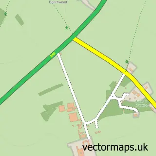
This Hadnall street map is a detailed vector street map covering a 750m x 750m area. Select a larger area to create and download your own vector street map of Hadnall.
The 750-metre map sample for Hadnall covers 273 mapped buildings and approximately 12.0 km of road detail, of which 16 named roads are named. The immediate area includes 1 school and 1 MOT station within 2 miles. The wider area around Hadnall features 1 food and drink venue. To create a larger or custom map of Hadnall, the map builder lets you define your own coverage area and download editable SVG, PDF and PNG files.
Create a larger editable map of Hadnall
Choose any area you need and generate a high-quality vector map instantly. Perfect for print, planning, design, business and personal use.

This Hadnall street map in Shropshire is available as downloadable SVG, PDF and PNG map files, or as a printed map for planning, business, display, education, local information and design work. You can also create a larger custom map area using the map selector.
What this Hadnall map sample shows
Hadnall lies within Hadnall Cp parish, part of Shawbury ward in the Shropshire local authority area. The postcode geography for this area includes the SY postcode area, the SY4 postcode district and the SY4 4 postcode sector. Residents fall under the Nhs Shropshire, Telford And Wrekin Integrated Care Board for NHS services.
Local features near Hadnall
Within 2 milesAmenities and services in and around Hadnall.
Administrative and postcode information for Hadnall
Hadnall lies within Hadnall Cp parish, part of Shawbury ward in the Shropshire local authority area. The postcode geography for this area includes the SY postcode area, the SY4 postcode district and the SY4 4 postcode sector. Residents fall under the Nhs Shropshire, Telford And Wrekin Integrated Care Board for NHS services.
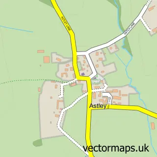
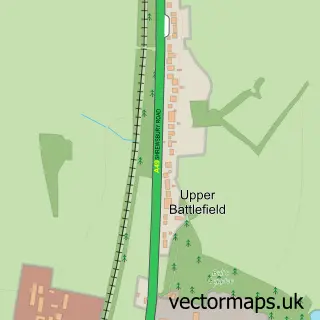
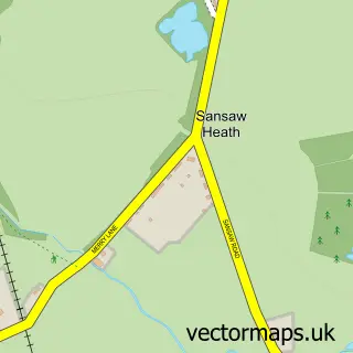
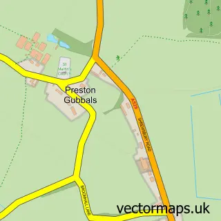
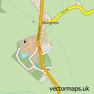
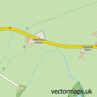
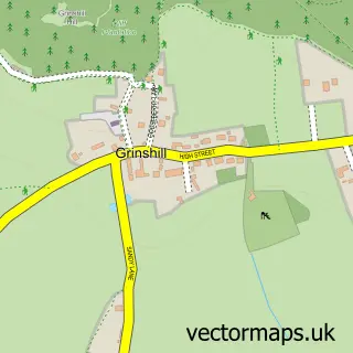
Nearby street map samples around Hadnall
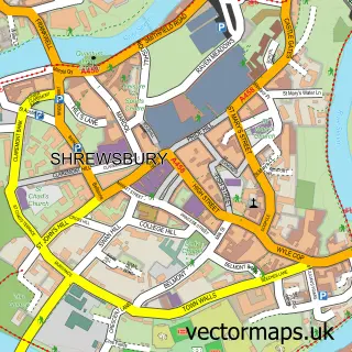

More street maps in Shropshire
750 metre map area coverage
Boundary, postcode and point of interest information for the 750m x 750m rectangle centred on this sample map.
Boundaries containing map centre
Constituency: North Shropshire Co Const
District: Shropshire
Icb: NHS Shropshire Telford and Wrekin ICB
Parish: Hadnall CP
Police Force: west mercia
Postcode District: SY4
Postcode Sector: SY4 4
Nearby boundaries intersecting sample
Postcode Sector: SY4 3
Postcode coverage
POI category counts
Convenience Store: 2
Shipping Center: 2
Advertising Agency: 1
Anglican Church: 1
Automotive Repair: 1
Beauty And Spa: 1
Beverage Store: 1
Brewery: 1
Building Supply Store: 1
Business Management Services: 1
Sample points of interest
- SJF Design & Print
- Hadnall S.Mary Magdalene
- LA Auto Repairs
- Live And Let Dye
- Crossey & Turner
- Salopian Brewery
- Shropshire Brick & Stone UK Ltd.
- Darling Socials VA
- Hadnall Motors
- Hadnall Church
- Hadnall Village Hall
- Hadnall Village Store
Create a larger editable map of Hadnall
This sample shows only a 750 metre area. To create a larger map of Hadnall, use our map builder to choose your own coverage area, add titles and download editable SVG, PDF and PNG files.
Create a custom map of Hadnall