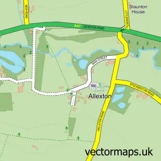
This Hallaton street map is a detailed vector street map covering a 750m x 750m area. Select a larger area to create and download your own vector street map of Hallaton.
The 750-metre map sample for Hallaton covers 203 mapped buildings and approximately 22.7 km of road detail, of which 15 named roads are named. The immediate area includes 3 pubs. The wider area around Hallaton features 1 tourism point of interest and 3 food and drink venues. To create a larger or custom map of Hallaton, the map builder lets you define your own coverage area and download editable SVG, PDF and PNG files.
Create a larger editable map of Hallaton
Choose any area you need and generate a high-quality vector map instantly. Perfect for print, planning, design, business and personal use.

This Hallaton street map in Leicestershire is available as downloadable SVG, PDF and PNG map files, or as a printed map for planning, business, display, education, local information and design work. You can also create a larger custom map area using the map selector.
What this Hallaton map sample shows
Hallaton lies within Hallaton Cp parish, part of Nevill ward in the Harborough District local authority area. The postcode geography for this area includes the LE postcode area, the LE16 postcode district and the LE16 8 postcode sector. Residents fall under the Nhs Leicester, Leicestershire And Rutland Integrated Care Board for NHS services.
Local features near Hallaton
Within 2 milesAmenities and services in and around Hallaton.
Administrative and postcode information for Hallaton
The local authority covering Hallaton is Harborough District, within the county of Leicestershire. The settlement lies within Nevill ward and Hallaton Cp civil parish. The LE16 postcode district and LE16 8 postcode sector serve the immediate area. NHS provision in the area is delivered through University Hospitals Of Leicester Nhs Trust.
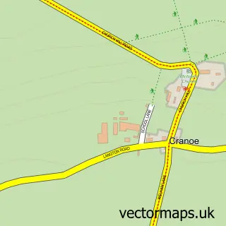
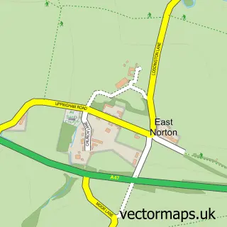
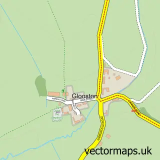
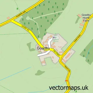
Nearby street map samples around Hallaton

More street maps in Leicestershire
750 metre map area coverage
Boundary, postcode and point of interest information for the 750m x 750m rectangle centred on this sample map.
Boundaries containing map centre
Constituency: Rutland and Stamford Co Const
County: Leicestershire County
District: Harborough District
Icb: NHS Leicester Leicestershire and Rutland ICB
Parish: Hallaton CP
Police Force: leicestershire
Postcode District: LE16
Postcode Sector: LE16 8
Ward: Nevill Ward
Nearby boundaries intersecting sample
No additional intersecting boundaries found.
Postcode coverage
POI category counts
Pub: 3
Beauty Salon: 1
Campground: 1
Masonry Concrete: 1
Printing Equipment And Supply: 1
Professional Services: 1
Shopping: 1
Tea Room: 1
Toy Store: 1
Train Station: 1
Sample points of interest
- The Secret Salon Hallaton
- The Sleepy Explorer
- Stonemasons of Rutland
- GG Designs
- Hallaton
- Bewicke Arms
- The Bewicke Arms
- The Fox Inn
- Tyre Wall Stickers
- The Hare Pie Café at The Bewicke Arms
- Dodo Jekca
- Hallaton railway station
Create a larger editable map of Hallaton
This sample shows only a 750 metre area. To create a larger map of Hallaton, use our map builder to choose your own coverage area, add titles and download editable SVG, PDF and PNG files.
Create a custom map of Hallaton