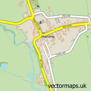
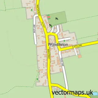
This Helmsley street map is a detailed vector street map covering a 750m x 750m area. Select a larger area to create and download your own vector street map of Helmsley.
The 750-metre map sample for Helmsley covers 314 mapped buildings and approximately 30.9 km of road detail, of which 37 named roads are named. The immediate area includes 1 school, 1 GP surgery, 3 pubs and 2 MOT stations within 2 miles. The wider area around Helmsley features 5 tourism points of interest, 19 food and drink venues and 4 hotels. To create a larger or custom map of Helmsley, the map builder lets you define your own coverage area and download editable SVG, PDF and PNG files.
Create a larger editable map of Helmsley
Choose any area you need and generate a high-quality vector map instantly. Perfect for print, planning, design, business and personal use.

This Helmsley street map in North Yorkshire is available as downloadable SVG, PDF and PNG map files, or as a printed map for planning, business, display, education, local information and design work. You can also create a larger custom map area using the map selector.
What this Helmsley map sample shows
Helmsley lies within Helmsley Cp parish, part of Helmsley ward in the North Yorkshire local authority area. The postcode geography for this area includes the YO postcode area, the YO62 postcode district and the YO62 5 postcode sector. Residents fall under the Nhs Humber And North Yorkshire Integrated Care Board for NHS services.
Local features near Helmsley
Within 2 milesAmenities and services in and around Helmsley.
Administrative and postcode information for Helmsley
The local authority covering Helmsley is North Yorkshire, within the county of North Yorkshire. The settlement lies within Helmsley ward and Helmsley Cp civil parish. The YO62 postcode district and YO62 5 postcode sector serve the immediate area. NHS provision in the area is delivered through York And Scarborough Teaching Hospitals Nhs Foundation Trust.
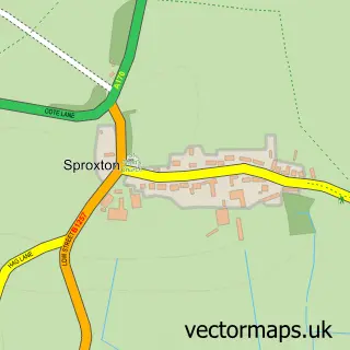
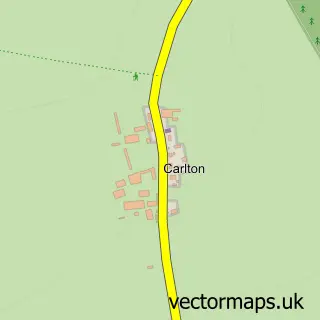
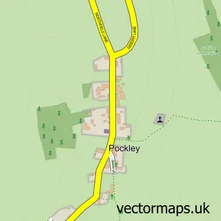
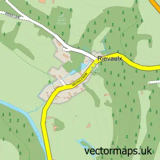
Nearby street map samples around Helmsley

More street maps in North Yorkshire
750 metre map area coverage
Boundary, postcode and point of interest information for the 750m x 750m rectangle centred on this sample map.
Boundaries containing map centre
Constituency: Thirsk and Malton Co Const
District: North Yorkshire
Icb: NHS Humber and North Yorkshire ICB
Parish: Helmsley CP
Police Force: north yorkshire
Postcode District: YO62
Postcode Sector: YO62 5
Nearby boundaries intersecting sample
No additional intersecting boundaries found.
Postcode coverage
POI category counts
Clothing Store: 10
Art Gallery: 6
Cafe: 6
Restaurant: 6
Beauty Salon: 5
Gift Shop: 5
Bakery: 4
Bed And Breakfast: 4
Coffee Shop: 4
Flowers And Gifts Shop: 4
Sample points of interest
- Ivy Cottage
- Ashby Berry Coulsons Ltd
- Helmsley Natural Health Clinic
- All Saints' Helmsley
- Helmsley Parish Church
- Bridge Street Frames
- Dazzle
- Look Gallery
- NGalleries
- Saltbox Gallery
- William Sissons Gallery
- Court House Framers
Create a larger editable map of Helmsley
This sample shows only a 750 metre area. To create a larger map of Helmsley, use our map builder to choose your own coverage area, add titles and download editable SVG, PDF and PNG files.
Create a custom map of Helmsley