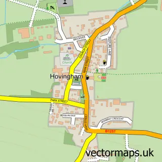
This Oswaldkirk street map is a detailed vector street map covering a 750m x 750m area. Select a larger area to create and download your own vector street map of Oswaldkirk.
The 750-metre map sample for Oswaldkirk covers 106 mapped buildings and approximately 10.7 km of road detail, of which 4 named roads are named. The wider area around Oswaldkirk features 1 campsite within 2 miles. To create a larger or custom map of Oswaldkirk, the map builder lets you define your own coverage area and download editable SVG, PDF and PNG files.
Create a larger editable map of Oswaldkirk
Choose any area you need and generate a high-quality vector map instantly. Perfect for print, planning, design, business and personal use.

This Oswaldkirk street map in North Yorkshire is available as downloadable SVG, PDF and PNG map files, or as a printed map for planning, business, display, education, local information and design work. You can also create a larger custom map area using the map selector.
What this Oswaldkirk map sample shows
Oswaldkirk lies within Oswaldkirk Cp parish, part of Sinnington ward in the North Yorkshire local authority area. The postcode geography for this area includes the YO postcode area, the YO62 postcode district and the YO62 5 postcode sector. Residents fall under the Nhs Humber And North Yorkshire Integrated Care Board for NHS services.
Local features near Oswaldkirk
Within 2 milesAmenities and services in and around Oswaldkirk.
Administrative and postcode information for Oswaldkirk
The local authority covering Oswaldkirk is North Yorkshire, within the county of North Yorkshire. The settlement lies within Sinnington ward and Oswaldkirk Cp civil parish. The YO62 postcode district and YO62 5 postcode sector serve the immediate area. NHS provision in the area is delivered through York And Scarborough Teaching Hospitals Nhs Foundation Trust.
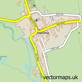
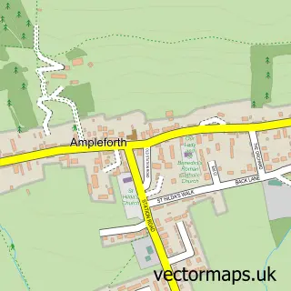
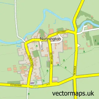
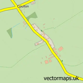
Nearby street map samples around Oswaldkirk
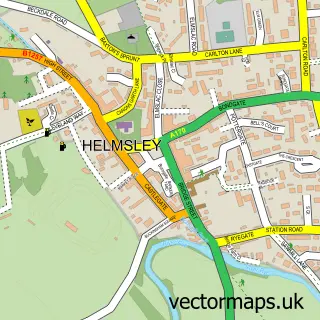

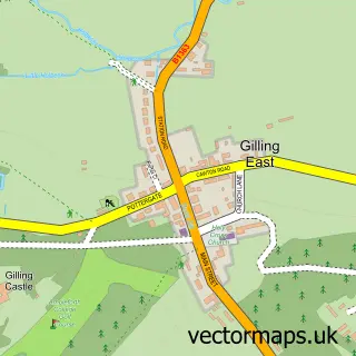
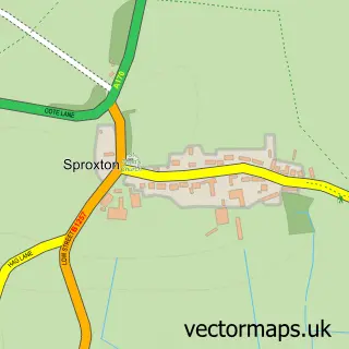
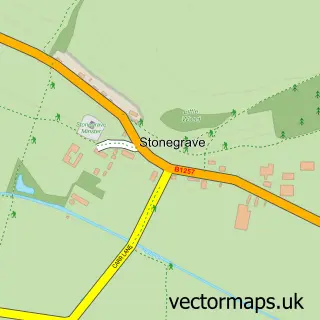
More street maps in North Yorkshire
750 metre map area coverage
Boundary, postcode and point of interest information for the 750m x 750m rectangle centred on this sample map.
Boundaries containing map centre
Constituency: Thirsk and Malton Co Const
District: North Yorkshire
Icb: NHS Humber and North Yorkshire ICB
Parish: Oswaldkirk CP
Police Force: north yorkshire
Postcode District: YO62
Postcode Sector: YO62 5
Nearby boundaries intersecting sample
No additional intersecting boundaries found.
Postcode coverage
POI category counts
Anglican Church: 2
Advertising Agency: 1
Bridal Shop: 1
Building Contractor: 1
Building Supply Store: 1
Structure And Geography: 1
Transportation: 1
Sample points of interest
- Bowles Green
- St Oswald
- St Oswald, King and Martyr Church
- Firehorse Wedding Photography
- NTR Building And Preservation
- Northern Property Care
- Havoc Hall Gardens
- Marche Holiday Homes
Create a larger editable map of Oswaldkirk
This sample shows only a 750 metre area. To create a larger map of Oswaldkirk, use our map builder to choose your own coverage area, add titles and download editable SVG, PDF and PNG files.
Create a custom map of Oswaldkirk