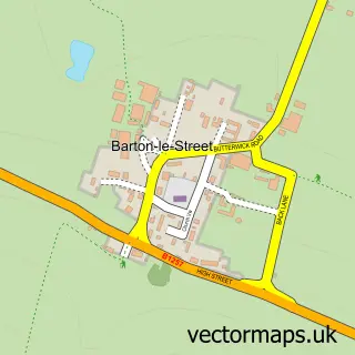
This Hovingham street map is a detailed vector street map covering a 750m x 750m area. Select a larger area to create and download your own vector street map of Hovingham.
The 750-metre map sample for Hovingham covers 173 mapped buildings and approximately 17.0 km of road detail, of which 10 named roads are named. The immediate area includes 1 pub. The wider area around Hovingham features 4 food and drink venues, 1 hotel and 1 campsite within 2 miles. To create a larger or custom map of Hovingham, the map builder lets you define your own coverage area and download editable SVG, PDF and PNG files.
Create a larger editable map of Hovingham
Choose any area you need and generate a high-quality vector map instantly. Perfect for print, planning, design, business and personal use.

This Hovingham street map in North Yorkshire is available as downloadable SVG, PDF and PNG map files, or as a printed map for planning, business, display, education, local information and design work. You can also create a larger custom map area using the map selector.
What this Hovingham map sample shows
Hovingham lies within Hovingham Cp parish, part of Hovingham ward in the North Yorkshire local authority area. The postcode geography for this area includes the YO postcode area, the YO62 postcode district and the YO62 4 postcode sector. Residents fall under the Nhs Humber And North Yorkshire Integrated Care Board for NHS services.
Local features near Hovingham
Within 2 milesAmenities and services in and around Hovingham.
Administrative and postcode information for Hovingham
The local authority covering Hovingham is North Yorkshire, within the county of North Yorkshire. The settlement lies within Hovingham ward and Hovingham Cp civil parish. The YO62 postcode district and YO62 4 postcode sector serve the immediate area. NHS provision in the area is delivered through York And Scarborough Teaching Hospitals Nhs Foundation Trust.
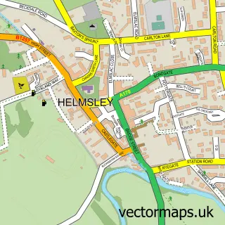
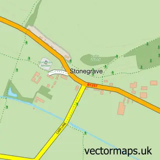
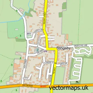
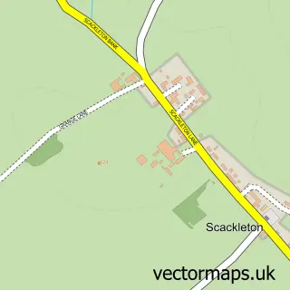
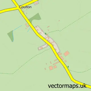
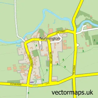
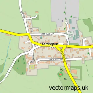
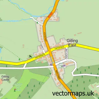
Nearby street map samples around Hovingham

More street maps in North Yorkshire
750 metre map area coverage
Boundary, postcode and point of interest information for the 750m x 750m rectangle centred on this sample map.
Boundaries containing map centre
Constituency: Thirsk and Malton Co Const
District: North Yorkshire
Icb: NHS Humber and North Yorkshire ICB
Parish: Hovingham CP
Police Force: north yorkshire
Postcode District: YO62
Postcode Sector: YO62 4
Nearby boundaries intersecting sample
No additional intersecting boundaries found.
Postcode coverage
POI category counts
Anglican Church: 2
Convenience Store: 2
Restaurant: 2
Amateur Sports Team: 1
Automotive Repair: 1
Bakery: 1
Beauty Salon: 1
Cafe: 1
Chimney Sweep: 1
Community Center: 1
Sample points of interest
- Hovingham Cricket Club
- All Saints Church
- Hovingham: All Saints
- Ryedale Garage Doors
- Hovingham Bakery
- The Park at Hovingham
- Repair Café Hovingham - organised by Hovingham Project Purple
- Hovingham Fireplaces
- Hovingham Parish Council Village Hall Management Committee
- Hovingham Stores
- McConnell Thomas
- Hovingham Surgery
Create a larger editable map of Hovingham
This sample shows only a 750 metre area. To create a larger map of Hovingham, use our map builder to choose your own coverage area, add titles and download editable SVG, PDF and PNG files.
Create a custom map of Hovingham