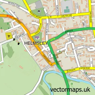
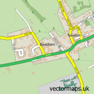
This Nunnington street map is a detailed vector street map covering a 750m x 750m area. Select a larger area to create and download your own vector street map of Nunnington.
The 750-metre map sample for Nunnington covers 123 mapped buildings and approximately 13.8 km of road detail, of which 6 named roads are named. The wider area around Nunnington features 1 tourism point of interest and 1 food and drink venue. To create a larger or custom map of Nunnington, the map builder lets you define your own coverage area and download editable SVG, PDF and PNG files.
Create a larger editable map of Nunnington
Choose any area you need and generate a high-quality vector map instantly. Perfect for print, planning, design, business and personal use.

This Nunnington street map in North Yorkshire is available as downloadable SVG, PDF and PNG map files, or as a printed map for planning, business, display, education, local information and design work. You can also create a larger custom map area using the map selector.
What this Nunnington map sample shows
Nunnington lies within Nunnington Cp parish, part of Sinnington ward in the North Yorkshire local authority area. The postcode geography for this area includes the YO postcode area, the YO62 postcode district and the YO62 5 postcode sector. Residents fall under the Nhs Humber And North Yorkshire Integrated Care Board for NHS services.
Local features near Nunnington
Within 2 milesAmenities and services in and around Nunnington.
Administrative and postcode information for Nunnington
Nunnington lies within Nunnington Cp parish, part of Sinnington ward in the North Yorkshire local authority area. The postcode geography for this area includes the YO postcode area, the YO62 postcode district and the YO62 5 postcode sector. Residents fall under the Nhs Humber And North Yorkshire Integrated Care Board for NHS services.
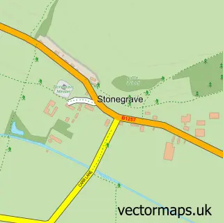
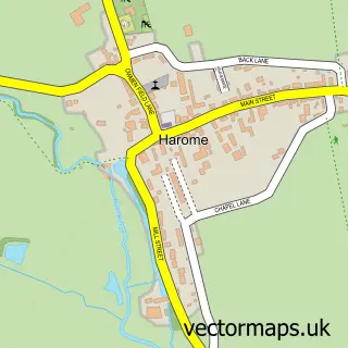
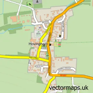
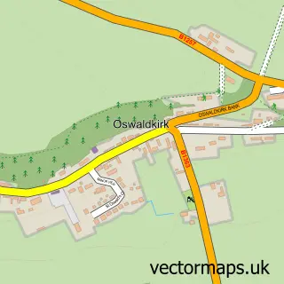
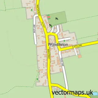
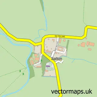
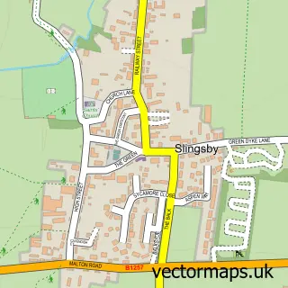
Nearby street map samples around Nunnington

More street maps in North Yorkshire
750 metre map area coverage
Boundary, postcode and point of interest information for the 750m x 750m rectangle centred on this sample map.
Boundaries containing map centre
Constituency: Thirsk and Malton Co Const
District: North Yorkshire
Icb: NHS Humber and North Yorkshire ICB
Parish: Nunnington CP
Police Force: north yorkshire
Postcode District: YO62
Postcode Sector: YO62 5
Nearby boundaries intersecting sample
No additional intersecting boundaries found.
Postcode coverage
POI category counts
Hvac Supplier: 2
It Service And Computer Repair: 2
Anglican Church: 1
Art Gallery: 1
Bed And Breakfast: 1
Cafe: 1
Church Cathedral: 1
Community Center: 1
Community Services Non Profits: 1
Dog Trainer: 1
Sample points of interest
- All Saints and Saint James, Nunnington
- Mark Egerton Gallery
- Nunnington Cottages
- The Old Yard Coffee Shop
- All Saints and St James Church
- Nunnington Village Hall
- National Trust - Nunnington Hall
- Charlie Clive Dog Trainer
- Rooke
- Nunnington Studios
- Cooke D I & Son
- D I Cooke & Son
Create a larger editable map of Nunnington
This sample shows only a 750 metre area. To create a larger map of Nunnington, use our map builder to choose your own coverage area, add titles and download editable SVG, PDF and PNG files.
Create a custom map of Nunnington