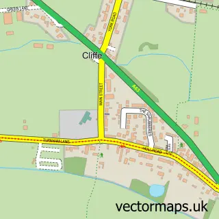
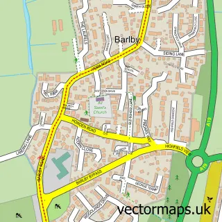
This Hemingbrough street map is a detailed vector street map covering a 750m x 750m area. Select a larger area to create and download your own vector street map of Hemingbrough.
The 750-metre map sample for Hemingbrough covers 522 mapped buildings and approximately 12.9 km of road detail, of which 29 named roads are named. The immediate area includes 1 school, 1 pub and 1 MOT station within 2 miles. The wider area around Hemingbrough features 1 food and drink venue. To create a larger or custom map of Hemingbrough, the map builder lets you define your own coverage area and download editable SVG, PDF and PNG files.
Create a larger editable map of Hemingbrough
Choose any area you need and generate a high-quality vector map instantly. Perfect for print, planning, design, business and personal use.

This Hemingbrough street map in North Yorkshire is available as downloadable SVG, PDF and PNG map files, or as a printed map for planning, business, display, education, local information and design work. You can also create a larger custom map area using the map selector.
What this Hemingbrough map sample shows
Hemingbrough lies within Hemingbrough Cp parish, part of Derwent ward in the North Yorkshire local authority area. The postcode geography for this area includes the YO postcode area, the YO8 postcode district and the YO8 6 postcode sector. Residents fall under the Nhs Humber And North Yorkshire Integrated Care Board for NHS services.
Local features near Hemingbrough
Within 2 milesAmenities and services in and around Hemingbrough.
Administrative and postcode information for Hemingbrough
Hemingbrough lies within Hemingbrough Cp parish, part of Derwent ward in the North Yorkshire local authority area. The postcode geography for this area includes the YO postcode area, the YO8 postcode district and the YO8 6 postcode sector. Residents fall under the Nhs Humber And North Yorkshire Integrated Care Board for NHS services.
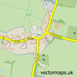
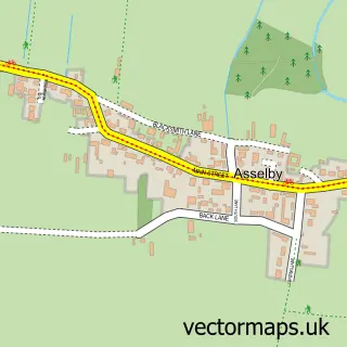
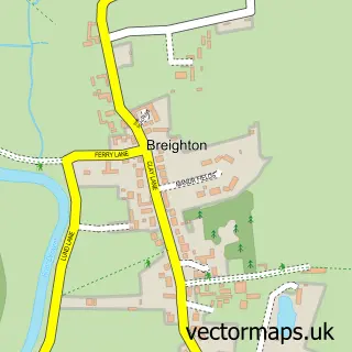
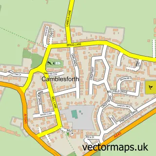
Nearby street map samples around Hemingbrough

More street maps in North Yorkshire
750 metre map area coverage
Boundary, postcode and point of interest information for the 750m x 750m rectangle centred on this sample map.
Boundaries containing map centre
Constituency: Selby Co Const
District: North Yorkshire
Icb: NHS Humber and North Yorkshire ICB
Parish: Hemingbrough CP
Police Force: north yorkshire
Postcode District: YO8
Postcode Sector: YO8 6
Nearby boundaries intersecting sample
Parish: Cliffe CP
Postcode coverage
POI category counts
Building Supply Store: 3
Automotive Repair: 2
Beauty Salon: 2
Home Cleaning: 2
Professional Services: 2
Accommodation: 1
Anglican Church: 1
Assisted Living Facility: 1
Auto Loan Provider: 1
Bakery: 1
Sample points of interest
- Hemingbrough Village
- Hemingbrough Church - St. Mary
- Action 4 Care
- Mortgage & Loan Options
- Attention to Detail - Mobile Valet Services
- Selby Recovery
- Bread Bin
- Fox & Pheasant Pub
- AC's Emporium
- Slay Hair & Beauty Studio
- Nomadcycles
- Hatton Carriages
Create a larger editable map of Hemingbrough
This sample shows only a 750 metre area. To create a larger map of Hemingbrough, use our map builder to choose your own coverage area, add titles and download editable SVG, PDF and PNG files.
Create a custom map of Hemingbrough