Vector Maps logo
Home Why it works Popular maps Districts Samples Customizer Create Your Map
VectorMaps.uk
Home Popular maps Districts Samples Customizer Create Your Map Privacy Disclaimer
Home / UK Maps / North Yorkshire / Cliffe Map

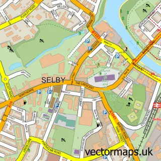
This Cliffe street map is a detailed vector street map covering a 750m x 750m area. Select a larger area to create and download your own vector street map of Cliffe.

Cliffe is a village in North Yorkshire, in the Yorkshire And The Humber of England. Historically, the area formed part of Yorkshire. The settlement falls within the Selby And Ainsty parliamentary constituency. It is served by the YO8 postcode district, wi

The 750-metre map sample for Cliffe covers 192 mapped buildings and approximately 7.6 km of road detail, of which 8 named roads are named. The immediate area includes 1 school, 1 pub and 1 MOT station within 2 miles. The wider area around Cliffe features 1 food and drink venue. To create a larger or custom map of Cliffe, the map builder lets you define your own coverage area and download editable SVG, PDF and PNG files.

192Buildings
7.62 kmRoads
8Named roads
1,721Residents within 2 miles
Create your own

Create a larger editable map of Cliffe

Choose any area you need and generate a high-quality vector map instantly. Perfect for print, planning, design, business and personal use.

Choose any location
Editable SVG files
Any size up to A0
PDF, PNG & more
Instant download
High quality guaranteed
Create My Custom Map
Secure, private & no credit card required
Cliffe Vector Street Map
750m Sample
Cliffe vector street map sample showing roads, buildings and local features in a 750 metre preview area
Buy Cliffe Map Print from £12.95 Buy Cliffe Digital Map from £6

This Cliffe street map in North Yorkshire is available as downloadable SVG, PDF and PNG map files, or as a printed map for planning, business, display, education, local information and design work. You can also create a larger custom map area using the map selector.

What this Cliffe map sample shows

Cliffe lies within Cliffe Cp parish, part of Derwent ward in the North Yorkshire local authority area. The postcode geography for this area includes the YO postcode area, the YO8 postcode district and the YO8 6 postcode sector. Residents fall under the Nhs Humber And North Yorkshire Integrated Care Board for NHS services.

Local features near Cliffe

Within 2 miles

Amenities and services in and around Cliffe.

1 Schools
1 MOT stations within 2 miles
1 Food & drink
1 Pubs

Counts are approximate and based on publicly available data.

Administrative and postcode information for Cliffe

The local authority covering Cliffe is North Yorkshire, within the county of North Yorkshire. The settlement lies within Derwent ward and Cliffe Cp civil parish. The YO8 postcode district and YO8 6 postcode sector serve the immediate area. NHS provision in the area is delivered through York And Scarborough Teaching Hospitals Nhs Foundation Trust.

Parish Cliffe CP
Ward Derwent
District / local authority North Yorkshire
County North Yorkshire
Historic county Yorkshire
Postcode district YO8
Postcode sector YO8 6
Parliamentary constituency Selby and Ainsty
Region Yorkshire and the Humber
Country England

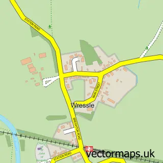
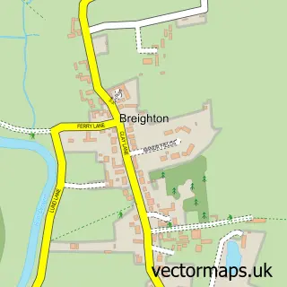
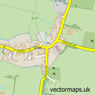
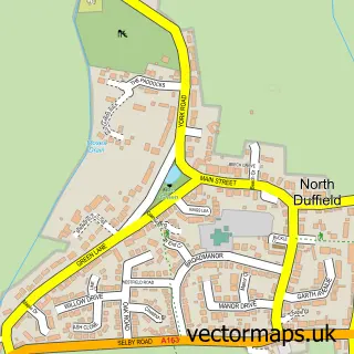
Nearby street map samples around Cliffe

Street map sample of Selby, North Yorkshire Selby Town - North Yorkshire - 3.0 miles Street map sample of York, North Yorkshire York City - North Yorkshire - 13.0 miles Street map sample of Hemingbrough, North Yorkshire Hemingbrough Village - North Yorkshire - 1.2 miles Street map sample of Barlby, North Yorkshire Barlby Village - North Yorkshire - 2.3 miles Street map sample of Barmby on the Marsh, East Riding of Yorkshire Barmby on the Marsh Village - East Riding of Yorkshire - 2.6 miles Street map sample of Wressle, East Riding of Yorkshire Wressle Village - East Riding of Yorkshire - 3.0 miles Street map sample of Breighton, East Riding of Yorkshire Breighton Village - East Riding of Yorkshire - 3.2 miles Street map sample of Drax, North Yorkshire Drax Village - North Yorkshire - 3.5 miles Street map sample of North Duffield, North Yorkshire North Duffield Village - North Yorkshire - 3.6 miles Street map sample of Camblesforth, North Yorkshire Camblesforth Village - North Yorkshire - 3.7 miles

More street maps in North Yorkshire

Street map sample of Hemingbrough, North Yorkshire Hemingbrough Village - 1.2 miles Street map sample of Barlby, North Yorkshire Barlby Village - 2.3 miles Street map sample of Selby, North Yorkshire Selby Town - 3.0 miles Street map sample of Drax, North Yorkshire Drax Village - 3.5 miles Street map sample of North Duffield, North Yorkshire North Duffield Village - 3.6 miles

750 metre map area coverage

Boundary, postcode and point of interest information for the 750m x 750m rectangle centred on this sample map.

Boundaries containing map centre

Constituency: Selby Co Const

District: North Yorkshire

Icb: NHS Humber and North Yorkshire ICB

Parish: Cliffe CP

Police Force: north yorkshire

Postcode District: YO8

Postcode Sector: YO8 6

Nearby boundaries intersecting sample

No additional intersecting boundaries found.

Postcode coverage

YO8 YO8 6

POI category counts

Agricultural Service: 1

Anglican Church: 1

Bakery: 1

Bar: 1

Beauty And Spa: 1

Community Center: 1

Community Services Non Profits: 1

Convenience Store: 1

Dog Walkers: 1

Driving School: 1

Sample points of interest

  • Stockpen UK Ltd Agricultural Service
  • Cliffe Church - St. Andrew Anglican Church
  • Cray Bakes Bakery
  • The New Inn Bar
  • Be Aesthetic Clinic Beauty And Spa
  • Cliffe Village Institute Community Center
  • Buddy’s Bar Community Services Non Profits
  • Cherry Tree Stores Convenience Store
  • Penrose's Paws Dog Walkers
  • Oaklands School of Motoring Driving School
  • Cliffe Voluntary Controlled Primary School Elementary School
  • Evri ParcelShop Food Delivery Service

Create a larger editable map of Cliffe

This sample shows only a 750 metre area. To create a larger map of Cliffe, use our map builder to choose your own coverage area, add titles and download editable SVG, PDF and PNG files.

Create a custom map of Cliffe

Phone 01751 473136 | Copyright Vectormaps.uk 2026

Samples Customizer Privacy Disclaimer
Cliffe Vector Street Map
Cliffe enlarged street map sample showing a 750 metre preview area