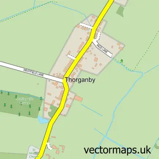
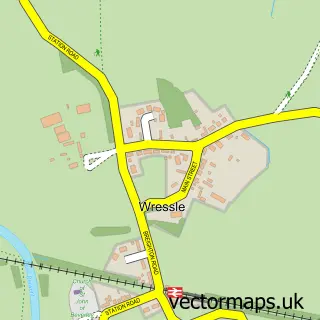
This North Duffield street map is a detailed vector street map covering a 750m x 750m area. Select a larger area to create and download your own vector street map of North Duffield.
The 750-metre map sample for North Duffield covers 398 mapped buildings and approximately 17.3 km of road detail, of which 25 named roads are named. The immediate area includes 1 school and 2 pubs. The wider area around North Duffield features 2 food and drink venues and 1 campsite within 2 miles. To create a larger or custom map of North Duffield, the map builder lets you define your own coverage area and download editable SVG, PDF and PNG files.
Create a larger editable map of North Duffield
Choose any area you need and generate a high-quality vector map instantly. Perfect for print, planning, design, business and personal use.

This North Duffield street map in North Yorkshire is available as downloadable SVG, PDF and PNG map files, or as a printed map for planning, business, display, education, local information and design work. You can also create a larger custom map area using the map selector.
What this North Duffield map sample shows
North Duffield lies within North Duffield Cp parish, part of Derwent ward in the North Yorkshire local authority area. The postcode geography for this area includes the YO postcode area, the YO8 postcode district and the YO8 5 postcode sector. Residents fall under the Nhs Humber And North Yorkshire Integrated Care Board for NHS services.
Local features near North Duffield
Within 2 milesAmenities and services in and around North Duffield.
Administrative and postcode information for North Duffield
North Duffield lies within North Duffield Cp parish, part of Derwent ward in the North Yorkshire local authority area. The postcode geography for this area includes the YO postcode area, the YO8 postcode district and the YO8 5 postcode sector. Residents fall under the Nhs Humber And North Yorkshire Integrated Care Board for NHS services.
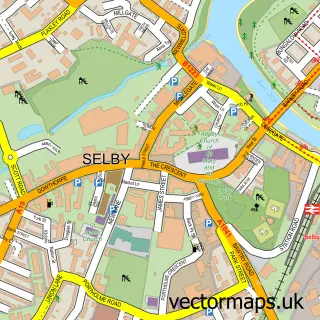
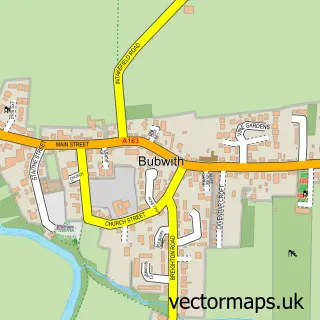
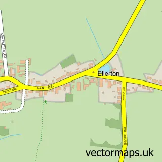
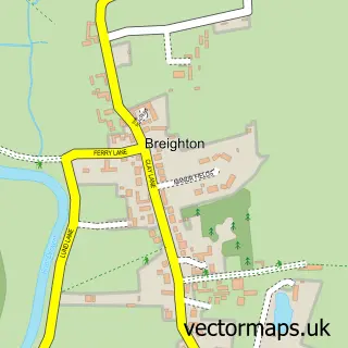
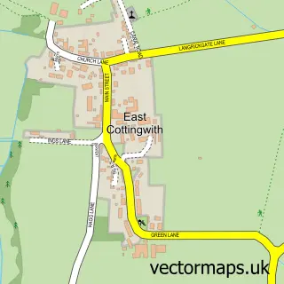
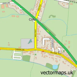
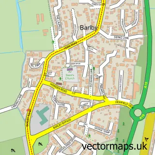
Nearby street map samples around North Duffield

More street maps in North Yorkshire
750 metre map area coverage
Boundary, postcode and point of interest information for the 750m x 750m rectangle centred on this sample map.
Boundaries containing map centre
Constituency: Selby Co Const
District: North Yorkshire
Icb: NHS Humber and North Yorkshire ICB
Parish: North Duffield CP
Police Force: north yorkshire
Postcode District: YO8
Postcode Sector: YO8 5
Nearby boundaries intersecting sample
No additional intersecting boundaries found.
Postcode coverage
POI category counts
Cleaning Services: 2
Convenience Store: 2
Hair Salon: 2
Marketing Consultant: 2
Pub: 2
Shipping Center: 2
Active Life: 1
Atms: 1
Bar: 1
Building Supply Store: 1
Sample points of interest
- North Duffield Bowling Club
- Morrisons Daily - Selby North Duffield , North Duffield
- The Kings Arms
- A J Projects
- The Meeting & Event Team
- TPM Plus
- MikeSandersonPIX Ltd
- Uk Dynamic Solar
- Abbey Carpet Cleaning
- Let Us
- McColl's
- Morrisons Daily
Create a larger editable map of North Duffield
This sample shows only a 750 metre area. To create a larger map of North Duffield, use our map builder to choose your own coverage area, add titles and download editable SVG, PDF and PNG files.
Create a custom map of North Duffield