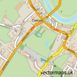
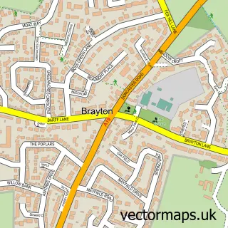
This Riccall street map is a detailed vector street map covering a 750m x 750m area. Select a larger area to create and download your own vector street map of Riccall.
The 750-metre map sample for Riccall covers 654 mapped buildings and approximately 15.8 km of road detail, of which 35 named roads are named. The immediate area includes 1 school, 3 pubs and 1 MOT station within 2 miles. The wider area around Riccall features 1 tourism point of interest, 4 food and drink venues and 1 hotel. To create a larger or custom map of Riccall, the map builder lets you define your own coverage area and download editable SVG, PDF and PNG files.
Create a larger editable map of Riccall
Choose any area you need and generate a high-quality vector map instantly. Perfect for print, planning, design, business and personal use.

This Riccall street map in North Yorkshire is available as downloadable SVG, PDF and PNG map files, or as a printed map for planning, business, display, education, local information and design work. You can also create a larger custom map area using the map selector.
What this Riccall map sample shows
Riccall lies within Riccall Cp parish, part of Riccall ward in the North Yorkshire local authority area. The postcode geography for this area includes the YO postcode area, the YO19 postcode district and the YO19 6 postcode sector. Residents fall under the Nhs Humber And North Yorkshire Integrated Care Board for NHS services.
Local features near Riccall
Within 2 milesAmenities and services in and around Riccall.
Administrative and postcode information for Riccall
Riccall lies within Riccall Cp parish, part of Riccall ward in the North Yorkshire local authority area. The postcode geography for this area includes the YO postcode area, the YO19 postcode district and the YO19 6 postcode sector. Residents fall under the Nhs Humber And North Yorkshire Integrated Care Board for NHS services.
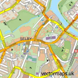
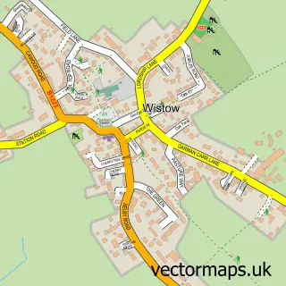
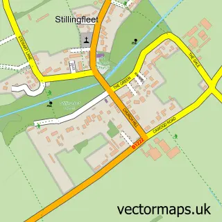
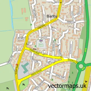
Nearby street map samples around Riccall

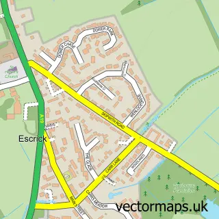
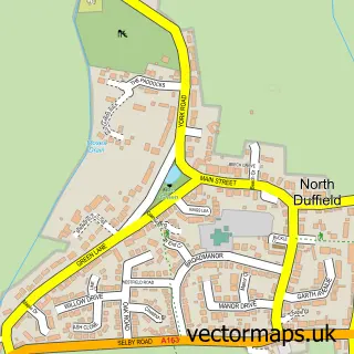
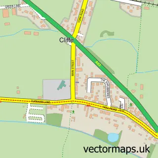
More street maps in North Yorkshire
750 metre map area coverage
Boundary, postcode and point of interest information for the 750m x 750m rectangle centred on this sample map.
Boundaries containing map centre
Constituency: Selby Co Const
District: North Yorkshire
Icb: NHS Humber and North Yorkshire ICB
Parish: Riccall CP
Police Force: north yorkshire
Postcode District: YO19
Postcode Sector: YO19 6
Nearby boundaries intersecting sample
No additional intersecting boundaries found.
Postcode coverage
POI category counts
Convenience Store: 4
Pub: 3
Beauty Salon: 2
Bed And Breakfast: 2
Church Cathedral: 2
Professional Services: 2
Travel Services: 2
Anglican Church: 1
Architectural Designer: 1
Arts And Crafts: 1
Sample points of interest
- Riccall Church - St. Mary
- Crescent Architects Ltd
- Zoz Pots
- Riccall House Care Home
- Baked by Diane
- Reflex Room & Beauty Bar.
- Amis Hair & Beauty
- Wellness-Within Skin Clinic
- Dairymans Bed, Breakfast & Tearoom
- Dairymans Cottage B&B
- Tumbledown Cottage- Books, Curios & the Simply Odd
- The Pickled at Riccall
Create a larger editable map of Riccall
This sample shows only a 750 metre area. To create a larger map of Riccall, use our map builder to choose your own coverage area, add titles and download editable SVG, PDF and PNG files.
Create a custom map of Riccall