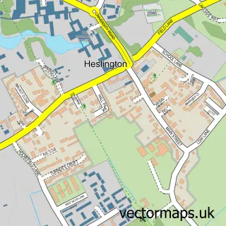
This Escrick street map is a detailed vector street map covering a 750m x 750m area. Select a larger area to create and download your own vector street map of Escrick.
The 750-metre map sample for Escrick covers 249 mapped buildings and approximately 10.4 km of road detail, of which 14 named roads are named. The immediate area includes 1 school, 1 GP surgery, 1 pub and 1 MOT station within 2 miles. The wider area around Escrick features 1 food and drink venue, 1 hotel and 2 campsites within 2 miles. To create a larger or custom map of Escrick, the map builder lets you define your own coverage area and download editable SVG, PDF and PNG files.
Create a larger editable map of Escrick
Choose any area you need and generate a high-quality vector map instantly. Perfect for print, planning, design, business and personal use.

This Escrick street map in North Yorkshire is available as downloadable SVG, PDF and PNG map files, or as a printed map for planning, business, display, education, local information and design work. You can also create a larger custom map area using the map selector.
What this Escrick map sample shows
Escrick lies within Escrick Cp parish, part of Escrick ward in the North Yorkshire local authority area. The postcode geography for this area includes the YO postcode area, the YO19 postcode district and the YO19 6 postcode sector. Residents fall under the Nhs Humber And North Yorkshire Integrated Care Board for NHS services.
Local features near Escrick
Within 2 milesAmenities and services in and around Escrick.
Administrative and postcode information for Escrick
The local authority covering Escrick is North Yorkshire, within the county of North Yorkshire. The settlement lies within Escrick ward and Escrick Cp civil parish. The YO19 postcode district and YO19 6 postcode sector serve the immediate area. NHS provision in the area is delivered through York And Scarborough Teaching Hospitals Nhs Foundation Trust.
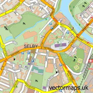
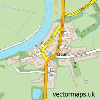
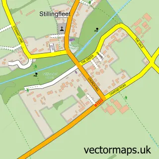
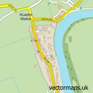
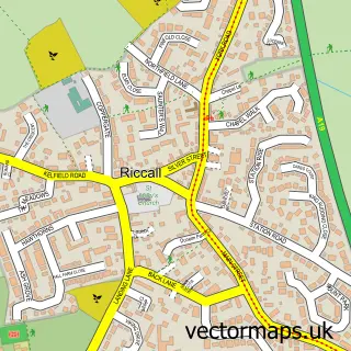
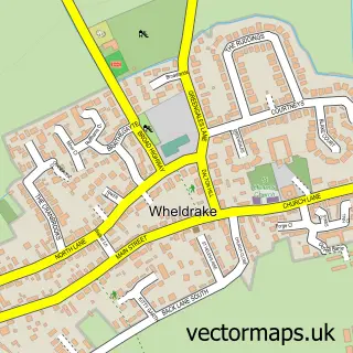
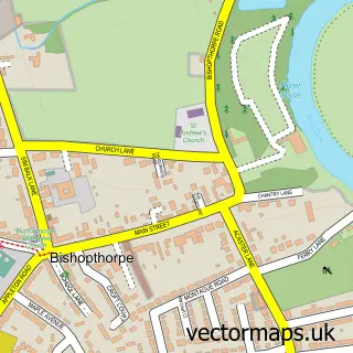
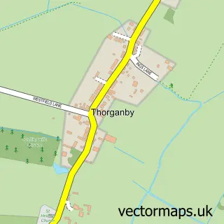
Nearby street map samples around Escrick

More street maps in North Yorkshire
750 metre map area coverage
Boundary, postcode and point of interest information for the 750m x 750m rectangle centred on this sample map.
Boundaries containing map centre
Constituency: Selby Co Const
District: North Yorkshire
Icb: NHS Humber and North Yorkshire ICB
Parish: Escrick CP
Police Force: north yorkshire
Postcode District: YO19
Postcode Sector: YO19 6
Nearby boundaries intersecting sample
Constituency: York Outer Co Const
District: York (B)
Parish: Deighton CP
Ward: Wheldrake Ward
Postcode coverage
POI category counts
Elementary School: 2
Gas Station: 2
Professional Services: 2
Anglican Church: 1
Atms: 1
British Restaurant: 1
Building Supply Store: 1
Community Services Non Profits: 1
Employment Law: 1
Flooring Contractors: 1
Sample points of interest
- St Helen's Church
- York Road Garage (Protected)
- Lascelles Restaurant
- J Mark Construction
- The Monday Players
- Escrick C of E Primary School
- Escrick Church of England Voluntary Controlled Primary School
- Bridge Employment Law
- Over the Top Marquees
- Courier Expert
- BP
- York Road Service Station
Create a larger editable map of Escrick
This sample shows only a 750 metre area. To create a larger map of Escrick, use our map builder to choose your own coverage area, add titles and download editable SVG, PDF and PNG files.
Create a custom map of Escrick