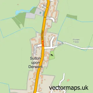
This Wheldrake street map is a detailed vector street map covering a 750m x 750m area. Select a larger area to create and download your own vector street map of Wheldrake.
The 750-metre map sample for Wheldrake covers 490 mapped buildings and approximately 14.6 km of road detail, of which 27 named roads are named. The immediate area includes 1 school, 2 pubs and 1 MOT station within 2 miles. The wider area around Wheldrake features 1 tourism point of interest, 2 food and drink venues and 1 campsite within 2 miles. To create a larger or custom map of Wheldrake, the map builder lets you define your own coverage area and download editable SVG, PDF and PNG files.
Create a larger editable map of Wheldrake
Choose any area you need and generate a high-quality vector map instantly. Perfect for print, planning, design, business and personal use.

This Wheldrake street map in North Yorkshire is available as downloadable SVG, PDF and PNG map files, or as a printed map for planning, business, display, education, local information and design work. You can also create a larger custom map area using the map selector.
What this Wheldrake map sample shows
Wheldrake lies within Wheldrake Cp parish, part of Wheldrake ward in the York (B) local authority area. The postcode geography for this area includes the YO postcode area, the YO19 postcode district and the YO19 6 postcode sector. Residents fall under the Nhs Humber And North Yorkshire Integrated Care Board for NHS services.
Local features near Wheldrake
Within 2 milesAmenities and services in and around Wheldrake.
Administrative and postcode information for Wheldrake
The local authority covering Wheldrake is York (B), within the county of North Yorkshire. The settlement lies within Wheldrake ward and Wheldrake Cp civil parish. The YO19 postcode district and YO19 6 postcode sector serve the immediate area. NHS provision in the area is delivered through York And Scarborough Teaching Hospitals Nhs Foundation Trust.
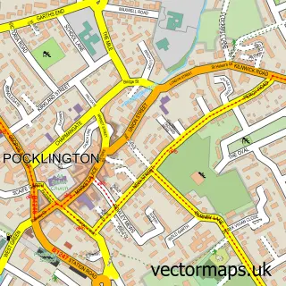
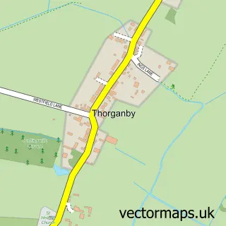
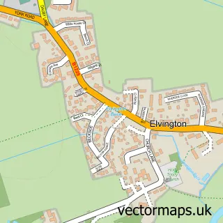
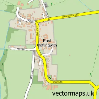
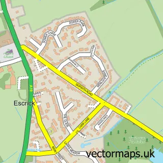
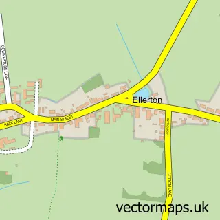
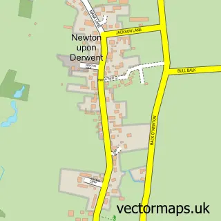
Nearby street map samples around Wheldrake

More street maps in North Yorkshire
750 metre map area coverage
Boundary, postcode and point of interest information for the 750m x 750m rectangle centred on this sample map.
Boundaries containing map centre
Constituency: York Outer Co Const
District: York (B)
Icb: NHS Humber and North Yorkshire ICB
Parish: Wheldrake CP
Police Force: north yorkshire
Postcode District: YO19
Postcode Sector: YO19 6
Ward: Wheldrake Ward
Nearby boundaries intersecting sample
No additional intersecting boundaries found.
Postcode coverage
POI category counts
Business Consulting: 2
Driving School: 2
Pub: 2
Advertising Agency: 1
Anglican Church: 1
Beauty Salon: 1
Building Supply Store: 1
Charity Organization: 1
Church Cathedral: 1
Community Center: 1
Sample points of interest
- 100 Percent Proof
- Wheldrake Church
- Finishing Touches Aesthetics & Beauty
- Archipod Ltd.
- Business Support Services
- R!sk Matters
- Girlguiding White Rose House
- St Helen's Church
- Wheldrake Village Hall
- Costcutter
- Think Tank Entertainment
- Finance For Industry
Create a larger editable map of Wheldrake
This sample shows only a 750 metre area. To create a larger map of Wheldrake, use our map builder to choose your own coverage area, add titles and download editable SVG, PDF and PNG files.
Create a custom map of Wheldrake