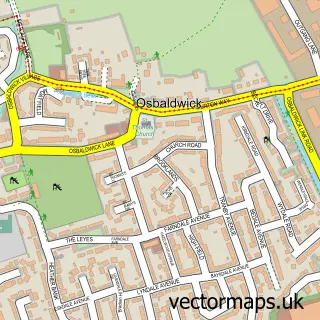
This Heslington street map is a detailed vector street map covering a 750m x 750m area. Select a larger area to create and download your own vector street map of Heslington.
The 750-metre map sample for Heslington covers 274 mapped buildings and approximately 12.2 km of road detail, of which 28 named roads are named. The immediate area includes 1 school, 2 GP surgeries within 2 miles, 4 pubs and 14 MOT stations within 2 miles. The wider area around Heslington features 7 food and drink venues and 1 campsite within 2 miles. To create a larger or custom map of Heslington, the map builder lets you define your own coverage area and download editable SVG, PDF and PNG files.
Create a larger editable map of Heslington
Choose any area you need and generate a high-quality vector map instantly. Perfect for print, planning, design, business and personal use.

This Heslington street map in North Yorkshire is available as downloadable SVG, PDF and PNG map files, or as a printed map for planning, business, display, education, local information and design work. You can also create a larger custom map area using the map selector.
What this Heslington map sample shows
Heslington lies within Heslington Cp parish, part of Fulford & Heslington ward in the York (B) local authority area. The postcode geography for this area includes the YO postcode area, the YO10 postcode district and the YO10 5 postcode sector. Residents fall under the Nhs Humber And North Yorkshire Integrated Care Board for NHS services.
Local features near Heslington
Within 2 milesAmenities and services in and around Heslington.
Administrative and postcode information for Heslington
Heslington lies within Heslington Cp parish, part of Fulford & Heslington ward in the York (B) local authority area. The postcode geography for this area includes the YO postcode area, the YO10 postcode district and the YO10 5 postcode sector. Residents fall under the Nhs Humber And North Yorkshire Integrated Care Board for NHS services.
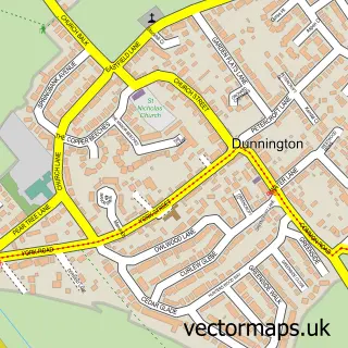
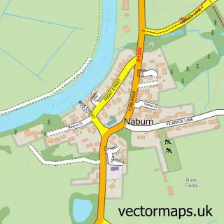
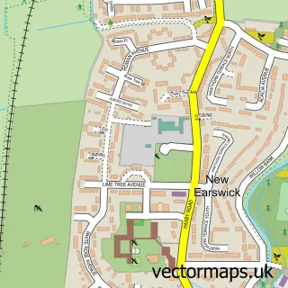
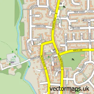
Nearby street map samples around Heslington


More street maps in North Yorkshire
750 metre map area coverage
Boundary, postcode and point of interest information for the 750m x 750m rectangle centred on this sample map.
Boundaries containing map centre
Constituency: York Outer Co Const
District: York (B)
Icb: NHS Humber and North Yorkshire ICB
Parish: Heslington CP
Police Force: north yorkshire
Postcode District: YO10
Postcode Sector: YO10 5
Ward: Fulford & Heslington Ward
Nearby boundaries intersecting sample
Constituency: York Central Boro Const
Ward: Hull Road Ward
Postcode coverage
POI category counts
College University: 7
Pub: 4
Bar: 3
Elementary School: 3
Bank Credit Union: 2
Church Cathedral: 2
Coffee Shop: 2
Post Office: 2
Scout Hall: 2
Advertising Agency: 1
Sample points of interest
- National Foundation For Educational Research
- York Horntails Quadball
- Norman Rea Gallery
- Barclays Bank - Heslington
- Lloyds Bank
- NatWest
- D-Bar
- The Courtyard
- YUSUBars
- York House Interiors
- JJs common room
- More House University Chaplaincy
Create a larger editable map of Heslington
This sample shows only a 750 metre area. To create a larger map of Heslington, use our map builder to choose your own coverage area, add titles and download editable SVG, PDF and PNG files.
Create a custom map of Heslington