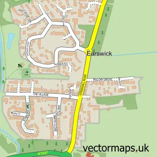
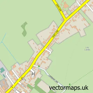
This Huntington street map is a detailed vector street map covering a 750m x 750m area. Select a larger area to create and download your own vector street map of Huntington.
The 750-metre map sample for Huntington covers 527 mapped buildings and approximately 14.8 km of road detail, of which 38 named roads are named. The immediate area includes 1 GP surgery within 2 miles, 1 pub and 2 MOT stations, with 18 within 2 miles. The wider area around Huntington features 3 food and drink venues and 5 campsites within 2 miles. To create a larger or custom map of Huntington, the map builder lets you define your own coverage area and download editable SVG, PDF and PNG files.
Create a larger editable map of Huntington
Choose any area you need and generate a high-quality vector map instantly. Perfect for print, planning, design, business and personal use.

This Huntington street map in North Yorkshire is available as downloadable SVG, PDF and PNG map files, or as a printed map for planning, business, display, education, local information and design work. You can also create a larger custom map area using the map selector.
What this Huntington map sample shows
Huntington lies within Huntington Cp parish, part of Huntington & New Earswick ward in the York (B) local authority area. The postcode geography for this area includes the YO postcode area, the YO32 postcode district and the YO32 9 postcode sector. Residents fall under the Nhs Humber And North Yorkshire Integrated Care Board for NHS services.
Local features near Huntington
Within 2 milesAmenities and services in and around Huntington.
Administrative and postcode information for Huntington
The local authority covering Huntington is York (B), within the county of North Yorkshire. The settlement lies within Huntington & New Earswick ward and Huntington Cp civil parish. The YO32 postcode district and YO32 9 postcode sector serve the immediate area. NHS provision in the area is delivered through York And Scarborough Teaching Hospitals Nhs Foundation Trust.
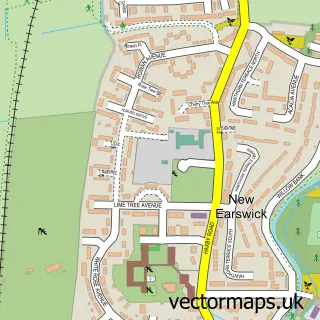
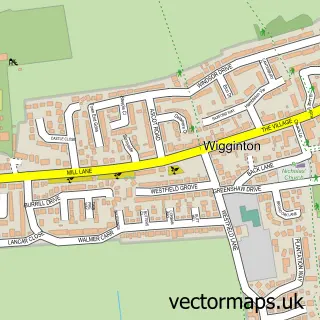
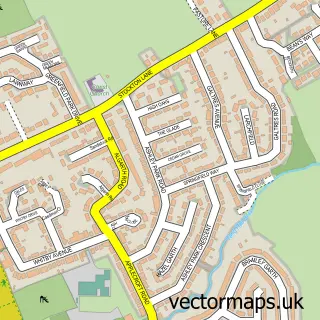
Nearby street map samples around Huntington


More street maps in North Yorkshire
750 metre map area coverage
Boundary, postcode and point of interest information for the 750m x 750m rectangle centred on this sample map.
Boundaries containing map centre
Constituency: York Outer Co Const
District: York (B)
Icb: NHS Humber and North Yorkshire ICB
Parish: Huntington CP
Police Force: north yorkshire
Postcode District: YO32
Postcode Sector: YO32 9
Ward: Huntington & New Earswick Ward
Nearby boundaries intersecting sample
Parish: New Earswick CP
Postcode Sector: YO32 4
Postcode coverage
POI category counts
Pet Groomer: 5
Professional Services: 4
Doctor: 3
Anglican Church: 2
Automotive Repair: 2
Community Center: 2
Convenience Store: 2
Auto Detailing: 1
Automotive Services And Repair: 1
Bakery: 1
Sample points of interest
- All Saints
- All Saints' Church
- MYNT Detail
- Barkers Garage York
- w p day motor repairs
- CS Motorsport Developments
- Milliefox Cakes & Cafe
- Huntington Sports Club and Keepers Bar
- Gents & Scoundrels Barber Shop
- Dixie Hair & Beauty
- Oxforde Glass
- The Sunnyside cafe & Take Away
Create a larger editable map of Huntington
This sample shows only a 750 metre area. To create a larger map of Huntington, use our map builder to choose your own coverage area, add titles and download editable SVG, PDF and PNG files.
Create a custom map of Huntington