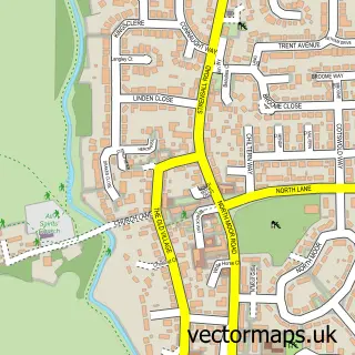
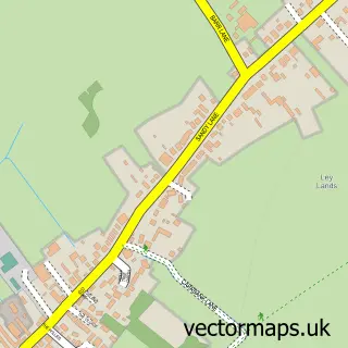
This Earswick street map is a detailed vector street map covering a 750m x 750m area. Select a larger area to create and download your own vector street map of Earswick.
The 750-metre map sample for Earswick covers 297 mapped buildings and approximately 8.0 km of road detail, of which 14 named roads are named. The immediate area includes 1 GP surgery within 2 miles and 11 MOT stations within 2 miles. The wider area around Earswick features 1 tourism point of interest, 1 food and drink venue and 4 campsites within 2 miles. To create a larger or custom map of Earswick, the map builder lets you define your own coverage area and download editable SVG, PDF and PNG files.
Create a larger editable map of Earswick
Choose any area you need and generate a high-quality vector map instantly. Perfect for print, planning, design, business and personal use.

This Earswick street map in North Yorkshire is available as downloadable SVG, PDF and PNG map files, or as a printed map for planning, business, display, education, local information and design work. You can also create a larger custom map area using the map selector.
What this Earswick map sample shows
Earswick lies within Earswick Cp parish, part of Strensall ward in the York (B) local authority area. The postcode geography for this area includes the YO postcode area, the YO32 postcode district and the YO32 9 postcode sector. Residents fall under the Nhs Humber And North Yorkshire Integrated Care Board for NHS services.
Local features near Earswick
Within 2 milesAmenities and services in and around Earswick.
Administrative and postcode information for Earswick
Earswick lies within Earswick Cp parish, part of Strensall ward in the York (B) local authority area. The postcode geography for this area includes the YO postcode area, the YO32 postcode district and the YO32 9 postcode sector. Residents fall under the Nhs Humber And North Yorkshire Integrated Care Board for NHS services.
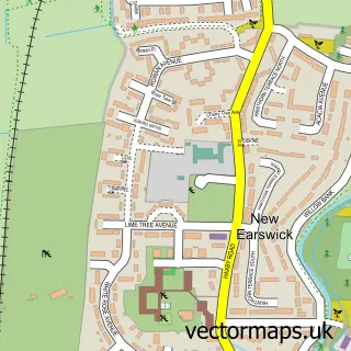
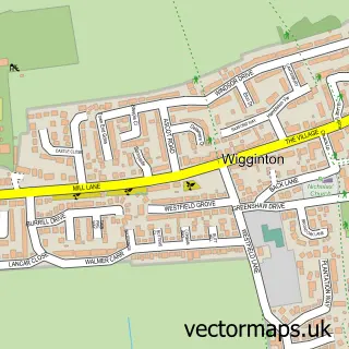
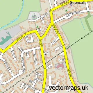
Nearby street map samples around Earswick


More street maps in North Yorkshire
750 metre map area coverage
Boundary, postcode and point of interest information for the 750m x 750m rectangle centred on this sample map.
Boundaries containing map centre
Constituency: York Outer Co Const
District: York (B)
Icb: NHS Humber and North Yorkshire ICB
Parish: Earswick CP
Police Force: north yorkshire
Postcode District: YO32
Postcode Sector: YO32 9
Ward: Strensall Ward
Nearby boundaries intersecting sample
Parish: Huntington CP, New Earswick CP
Postcode Sector: YO32 3, YO32 4
Ward: Haxby & Wigginton Ward, Huntington & New Earswick Ward
Postcode coverage
POI category counts
Drama School: 2
Business Consulting: 1
Carpet Store: 1
Educational Services: 1
Home Goods Store: 1
Park: 1
Restaurant: 1
Shoe Store: 1
Veterinarian: 1
Sample points of interest
- Eddy Adams Consultants
- HJR Distribution
- Drama Kids Earswick
- Drama Kids York
- Ace Drivers
- What Tyres
- The Scented Garden, Earswick
- S&T
- Shoeporium
- The Minster Veterinary Practice, Willow Grove
Create a larger editable map of Earswick
This sample shows only a 750 metre area. To create a larger map of Earswick, use our map builder to choose your own coverage area, add titles and download editable SVG, PDF and PNG files.
Create a custom map of Earswick