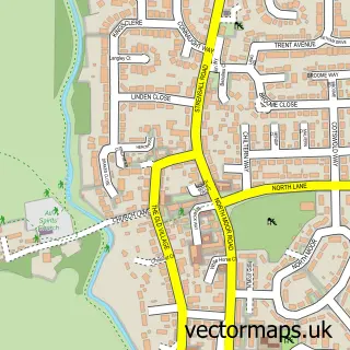
This Stockton on the Forest street map is a detailed vector street map covering a 750m x 750m area. Select a larger area to create and download your own vector street map of Stockton on the Forest.
The 750-metre map sample for Stockton on the Forest covers 181 mapped buildings and approximately 6.9 km of road detail, of which 7 named roads are named. The immediate area includes 1 school, 1 pub and 2 MOT stations within 2 miles. The wider area around Stockton on the Forest features 1 food and drink venue and 3 campsites within 2 miles. To create a larger or custom map of Stockton on the Forest, the map builder lets you define your own coverage area and download editable SVG, PDF and PNG files.
Create a larger editable map of Stockton on the Forest
Choose any area you need and generate a high-quality vector map instantly. Perfect for print, planning, design, business and personal use.

This Stockton on the Forest street map in North Yorkshire is available as downloadable SVG, PDF and PNG map files, or as a printed map for planning, business, display, education, local information and design work. You can also create a larger custom map area using the map selector.
What this Stockton on the Forest map sample shows
Stockton on the Forest lies within Stockton-On-The-Forest Cp parish, part of Strensall ward in the York (B) local authority area. The postcode geography for this area includes the YO postcode area, the YO32 postcode district and the YO32 9 postcode sector. Residents fall under the Nhs Humber And North Yorkshire Integrated Care Board for NHS services.
Local features near Stockton on the Forest
Within 2 milesAmenities and services in and around Stockton on the Forest.
Administrative and postcode information for Stockton on the Forest
Stockton on the Forest lies within Stockton-On-The-Forest Cp parish, part of Strensall ward in the York (B) local authority area. The postcode geography for this area includes the YO postcode area, the YO32 postcode district and the YO32 9 postcode sector. Residents fall under the Nhs Humber And North Yorkshire Integrated Care Board for NHS services.
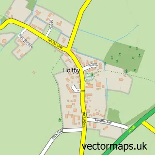
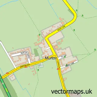
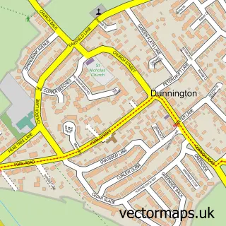
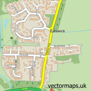
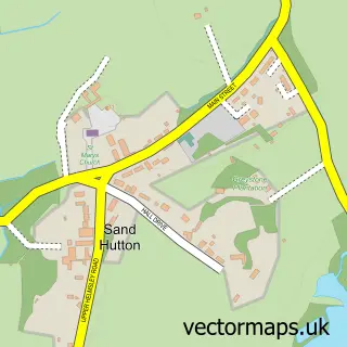
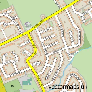
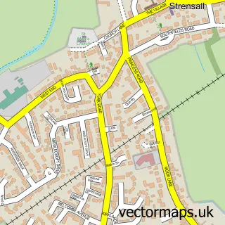
Nearby street map samples around Stockton on the Forest


More street maps in North Yorkshire
750 metre map area coverage
Boundary, postcode and point of interest information for the 750m x 750m rectangle centred on this sample map.
Boundaries containing map centre
Constituency: York Outer Co Const
District: York (B)
Icb: NHS Humber and North Yorkshire ICB
Parish: Stockton-on-the-Forest CP
Police Force: north yorkshire
Postcode District: YO32
Postcode Sector: YO32 9
Ward: Strensall Ward
Nearby boundaries intersecting sample
No additional intersecting boundaries found.
Postcode coverage
POI category counts
Bed And Breakfast: 1
Building Supply Store: 1
Car Dealer: 1
Carpenter: 1
Child Care And Day Care: 1
Community Center: 1
Elementary School: 1
Freight And Cargo Service: 1
Home Service: 1
Preschool: 1
Sample points of interest
- Orillia House
- Jacksons building components
- Blacksmith's Garage
- Thompson Construction
- Stockton on the Forest Children's Day Nursery
- Stockton on the Forest Village Hall
- Stockton-On-The-Forest Primary School
- A Rhodes Jnr
- Sticky Fingers Tiny School Day Nursery
- Stockton on The Forest Children's Day Nursery
- John Drury & Son
- The Fox Inn
Create a larger editable map of Stockton on the Forest
This sample shows only a 750 metre area. To create a larger map of Stockton on the Forest, use our map builder to choose your own coverage area, add titles and download editable SVG, PDF and PNG files.
Create a custom map of Stockton on the Forest