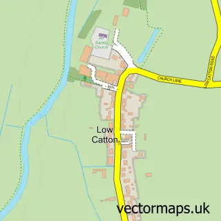
This Elvington street map is a detailed vector street map covering a 750m x 750m area. Select a larger area to create and download your own vector street map of Elvington.
The 750-metre map sample for Elvington covers 267 mapped buildings and approximately 7.4 km of road detail, of which 19 named roads are named. The immediate area includes 1 school, 1 GP surgery within 2 miles, 1 pub and 3 MOT stations within 2 miles. The wider area around Elvington features 1 food and drink venue and 1 hotel. To create a larger or custom map of Elvington, the map builder lets you define your own coverage area and download editable SVG, PDF and PNG files.
Create a larger editable map of Elvington
Choose any area you need and generate a high-quality vector map instantly. Perfect for print, planning, design, business and personal use.

This Elvington street map in North Yorkshire is available as downloadable SVG, PDF and PNG map files, or as a printed map for planning, business, display, education, local information and design work. You can also create a larger custom map area using the map selector.
What this Elvington map sample shows
Elvington lies within Elvington Cp parish, part of Wheldrake ward in the York (B) local authority area. The postcode geography for this area includes the YO postcode area, the YO41 postcode district and the YO41 4 postcode sector. Residents fall under the Nhs Humber And North Yorkshire Integrated Care Board for NHS services.
Local features near Elvington
Within 2 milesAmenities and services in and around Elvington.
Administrative and postcode information for Elvington
Elvington lies within Elvington Cp parish, part of Wheldrake ward in the York (B) local authority area. The postcode geography for this area includes the YO postcode area, the YO41 postcode district and the YO41 4 postcode sector. Residents fall under the Nhs Humber And North Yorkshire Integrated Care Board for NHS services.
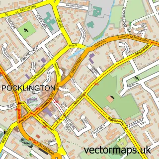
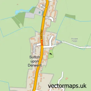
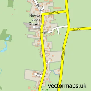
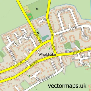
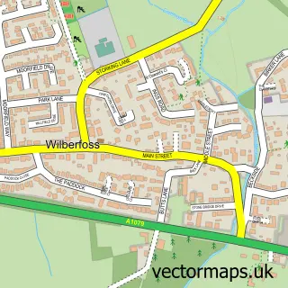
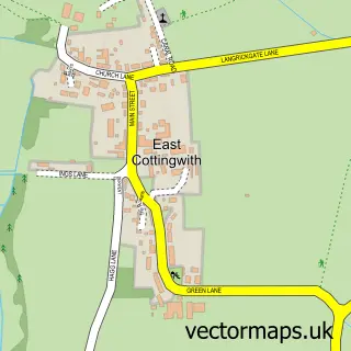
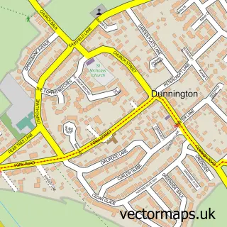
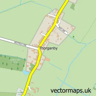
Nearby street map samples around Elvington

More street maps in North Yorkshire
750 metre map area coverage
Boundary, postcode and point of interest information for the 750m x 750m rectangle centred on this sample map.
Boundaries containing map centre
Constituency: York Outer Co Const
District: York (B)
Icb: NHS Humber and North Yorkshire ICB
Parish: Elvington CP
Police Force: north yorkshire
Postcode District: YO41
Postcode Sector: YO41 4
Ward: Wheldrake Ward
Nearby boundaries intersecting sample
Constituency: Goole and Pocklington Co Const
District: East Riding of Yorkshire
Parish: Sutton upon Derwent CP
Police Force: humberside
Ward: Pocklington Provincial Ward
Postcode coverage
POI category counts
Professional Services: 3
Naturopathic Holistic: 2
Advertising Agency: 1
Anglican Church: 1
Beauty Salon: 1
Building Contractor: 1
Chimney Sweep: 1
Contractor: 1
Convenience Store: 1
Event Planning: 1
Sample points of interest
- Sycamore Enterprises
- Elvington Church - usually open from 10am until 5pm.
- Shine Medical Aesthetics
- D & J Developments
- Chimney Sweep York
- Ridals Plumbing
- Elvington Village Store
- Elvington Village Hall
- Elvington Under Fives
- Elvington Hall
- Toby H Johnson Ltd - Bespoke Landscaping, Fencing and Tree Surgery
- Stuart Lloyd
Create a larger editable map of Elvington
This sample shows only a 750 metre area. To create a larger map of Elvington, use our map builder to choose your own coverage area, add titles and download editable SVG, PDF and PNG files.
Create a custom map of Elvington