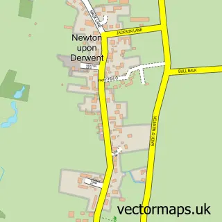
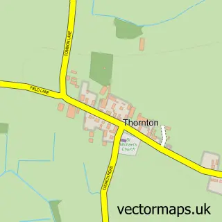
This Sutton Upon Derwent street map is a detailed vector street map covering a 750m x 750m area. Select a larger area to create and download your own vector street map of Sutton Upon Derwent.
The 750-metre map sample for Sutton Upon Derwent covers 126 mapped buildings and approximately 5.5 km of road detail, of which 7 named roads are named. The immediate area includes 1 school, 1 GP surgery within 2 miles and 4 MOT stations within 2 miles. The wider area around Sutton Upon Derwent features 1 hotel. To create a larger or custom map of Sutton Upon Derwent, the map builder lets you define your own coverage area and download editable SVG, PDF and PNG files.
Create a larger editable map of Sutton Upon Derwent
Choose any area you need and generate a high-quality vector map instantly. Perfect for print, planning, design, business and personal use.

This Sutton Upon Derwent street map in East Riding of Yorkshire is available as downloadable SVG, PDF and PNG map files, or as a printed map for planning, business, display, education, local information and design work. You can also create a larger custom map area using the map selector.
What this Sutton Upon Derwent map sample shows
Sutton Upon Derwent lies within Sutton Upon Derwent Cp parish, part of Pocklington Provincial ward in the East Riding Of Yorkshire local authority area. The postcode geography for this area includes the YO postcode area, the YO41 postcode district and the YO41 4 postcode sector. Residents fall under the Nhs Humber And North Yorkshire Integrated Care Board for NHS services.
Local features near Sutton Upon Derwent
Within 2 milesAmenities and services in and around Sutton Upon Derwent.
Administrative and postcode information for Sutton Upon Derwent
Sutton Upon Derwent lies within Sutton Upon Derwent Cp parish, part of Pocklington Provincial ward in the East Riding Of Yorkshire local authority area. The postcode geography for this area includes the YO postcode area, the YO41 postcode district and the YO41 4 postcode sector. Residents fall under the Nhs Humber And North Yorkshire Integrated Care Board for NHS services.
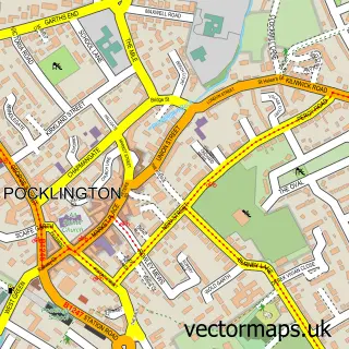
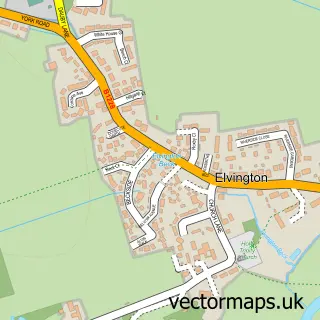
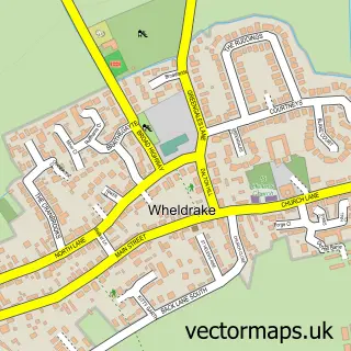
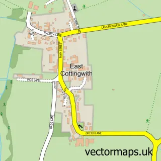
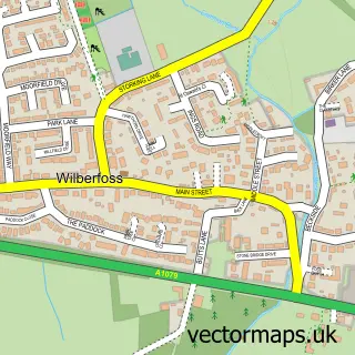
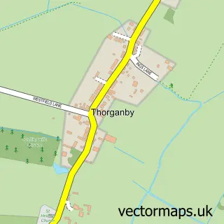
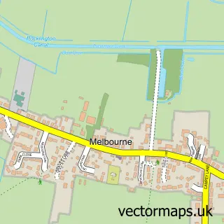
Nearby street map samples around Sutton Upon Derwent

More street maps in East Riding of Yorkshire
750 metre map area coverage
Boundary, postcode and point of interest information for the 750m x 750m rectangle centred on this sample map.
Boundaries containing map centre
Constituency: Goole and Pocklington Co Const
District: East Riding of Yorkshire
Icb: NHS Humber and North Yorkshire ICB
Parish: Sutton upon Derwent CP
Police Force: humberside
Postcode District: YO41
Postcode Sector: YO41 4
Ward: Pocklington Provincial Ward
Nearby boundaries intersecting sample
No additional intersecting boundaries found.
Postcode coverage
POI category counts
Elementary School: 3
Building Contractor: 1
Building Supply Store: 1
Business Management Services: 1
Cabin: 1
Carpenter: 1
Garage Door Service: 1
Life Coach: 1
Mobile Home Park: 1
Ranch: 1
Sample points of interest
- Calpin Developments Ltd.
- Blind Options
- Crossing The Chasm
- Herrington Park Lodges York
- Mastercraft Maintenance
- Sutton On Derwent Church of England Primary School
- Sutton Upon Derwent Church of England Voluntary Controlled Primary School
- Sutton on Derwent C of E Primary School
- Hobman Doors
- PatientMind Coaching
- Derwent Oaks Park
- Herrington Park Holiday Log Cabins York
Create a larger editable map of Sutton Upon Derwent
This sample shows only a 750 metre area. To create a larger map of Sutton Upon Derwent, use our map builder to choose your own coverage area, add titles and download editable SVG, PDF and PNG files.
Create a custom map of Sutton Upon Derwent