Vector Maps logo
Home Why it works Popular maps Districts Samples Customizer Create Your Map
VectorMaps.uk
Home Popular maps Districts Samples Customizer Create Your Map Privacy Disclaimer
Home / UK Maps / East Riding of Yorkshire / East Cottingwith Map

This East Cottingwith street map is a detailed vector street map covering a 750m x 750m area. Select a larger area to create and download your own vector street map of East Cottingwith.

East Cottingwith is a village in East Riding Of Yorkshire, in the Yorkshire And The Humber of England. Historically, the area formed part of Yorkshire. The settlement falls within the East Yorkshire parliamentary constituency. It is served by the YO42 pos

The 750-metre map sample for East Cottingwith covers 134 mapped buildings and approximately 9.3 km of road detail, of which 12 named roads are named. To create a larger or custom map of East Cottingwith, the map builder lets you define your own coverage area and download editable SVG, PDF and PNG files.

134Buildings
9.26 kmRoads
12Named roads
381Residents within 2 miles
Create your own

Create a larger editable map of East Cottingwith

Choose any area you need and generate a high-quality vector map instantly. Perfect for print, planning, design, business and personal use.

Choose any location
Editable SVG files
Any size up to A0
PDF, PNG & more
Instant download
High quality guaranteed
Create My Custom Map
Secure, private & no credit card required
East Cottingwith Vector Street Map
750m Sample
East Cottingwith vector street map sample showing roads, buildings and local features in a 750 metre preview area
Buy East Cottingwith Map Print from £12.95 Buy East Cottingwith Digital Map from £6

This East Cottingwith street map in East Riding of Yorkshire is available as downloadable SVG, PDF and PNG map files, or as a printed map for planning, business, display, education, local information and design work. You can also create a larger custom map area using the map selector.

What this East Cottingwith map sample shows

East Cottingwith lies within Cottingwith Cp parish, part of Wolds Weighton ward in the East Riding Of Yorkshire local authority area. The postcode geography for this area includes the YO postcode area, the YO42 postcode district and the YO42 4 postcode sector. Residents fall under the Nhs Humber And North Yorkshire Integrated Care Board for NHS services.

Administrative and postcode information for East Cottingwith

The local authority covering East Cottingwith is East Riding Of Yorkshire, within the county of East Riding Of Yorkshire. The settlement lies within Wolds Weighton ward and Cottingwith Cp civil parish. The YO42 postcode district and YO42 4 postcode sector serve the immediate area. NHS provision in the area is delivered through York And Scarborough Teaching Hospitals Nhs Foundation Trust.

Parish Cottingwith CP
Ward Wolds Weighton
District / local authority East Riding of Yorkshire
County East Riding of Yorkshire
Historic county Yorkshire
Postcode district YO42
Postcode sector YO42 4
Parliamentary constituency East Yorkshire
Region Yorkshire and the Humber
Country England

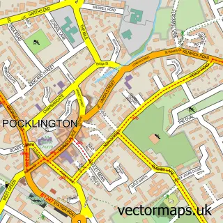
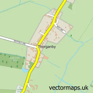
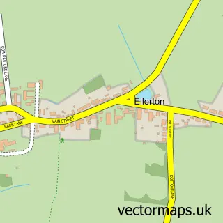
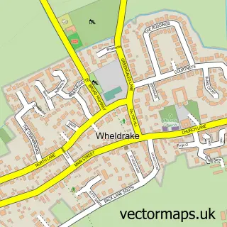
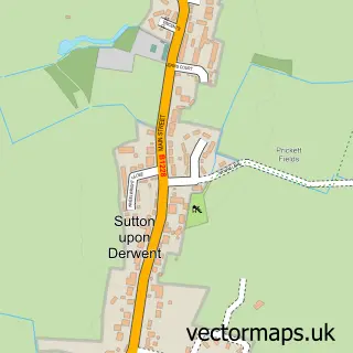
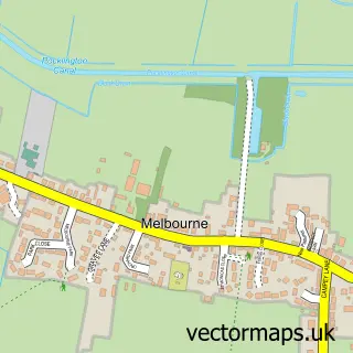
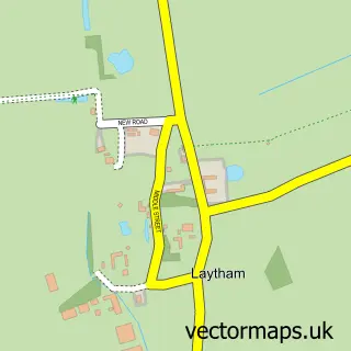
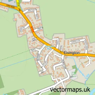
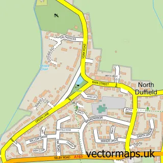
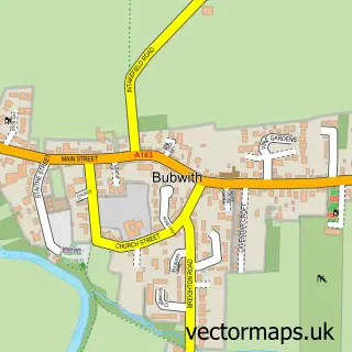
Nearby street map samples around East Cottingwith

Street map sample of Pocklington, East Riding of Yorkshire Pocklington Town - East Riding of Yorkshire - 7.5 miles Street map sample of York, North Yorkshire York City - North Yorkshire - 8.6 miles Street map sample of Thorganby, North Yorkshire Thorganby Village - North Yorkshire - 0.9 miles Street map sample of Ellerton, East Riding of Yorkshire Ellerton Village - East Riding of Yorkshire - 1.5 miles Street map sample of Wheldrake, North Yorkshire Wheldrake Village - North Yorkshire - 2.3 miles Street map sample of Sutton Upon Derwent, East Riding of Yorkshire Sutton Upon Derwent Village - East Riding of Yorkshire - 2.8 miles Street map sample of Melbourne, East Riding of Yorkshire Melbourne Village - East Riding of Yorkshire - 3.1 miles Street map sample of Laytham, East Riding of Yorkshire Laytham Village - East Riding of Yorkshire - 3.2 miles Street map sample of Elvington, North Yorkshire Elvington Village - North Yorkshire - 3.4 miles Street map sample of North Duffield, North Yorkshire North Duffield Village - North Yorkshire - 3.4 miles

More street maps in East Riding of Yorkshire

Street map sample of Ellerton, East Riding of Yorkshire Ellerton Village - 1.5 miles Street map sample of Sutton Upon Derwent, East Riding of Yorkshire Sutton Upon Derwent Village - 2.8 miles Street map sample of Melbourne, East Riding of Yorkshire Melbourne Village - 3.1 miles Street map sample of Laytham, East Riding of Yorkshire Laytham Village - 3.2 miles Street map sample of Bubwith, East Riding of Yorkshire Bubwith Village - 3.7 miles

750 metre map area coverage

Boundary, postcode and point of interest information for the 750m x 750m rectangle centred on this sample map.

Boundaries containing map centre

Constituency: Goole and Pocklington Co Const

District: East Riding of Yorkshire

Icb: NHS Humber and North Yorkshire ICB

Parish: Cottingwith CP

Police Force: humberside

Postcode District: YO42

Postcode Sector: YO42 4

Ward: Wolds Weighton Ward

Nearby boundaries intersecting sample

No additional intersecting boundaries found.

Postcode coverage

YO42 YO42 4

POI category counts

Anglican Church: 1

Arts And Crafts: 1

Metal Supplier: 1

Real Estate Agent: 1

Theatre: 1

Tutoring Center: 1

Sample points of interest

  • East Cottingwith Church Anglican Church
  • Slights Crafts - Gill Shaw Arts And Crafts
  • Powder & Paint Metal Supplier
  • Estate Agent Pocklington & York | Rob Letts Real Estate Agent
  • The Meadhouse. Re-enactment Centre Theatre
  • Asset Sales Consultancy Tutoring Center

Create a larger editable map of East Cottingwith

This sample shows only a 750 metre area. To create a larger map of East Cottingwith, use our map builder to choose your own coverage area, add titles and download editable SVG, PDF and PNG files.

Create a custom map of East Cottingwith

Phone 01751 473136 | Copyright Vectormaps.uk 2026

Samples Customizer Privacy Disclaimer
East Cottingwith Vector Street Map
East Cottingwith enlarged street map sample showing a 750 metre preview area