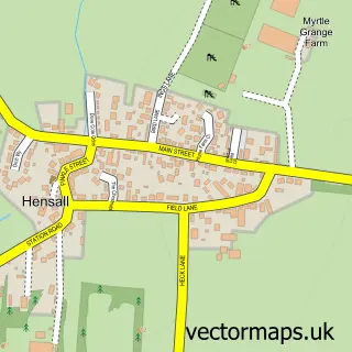
This Brayton street map is a detailed vector street map covering a 750m x 750m area. Select a larger area to create and download your own vector street map of Brayton.
The 750-metre map sample for Brayton covers 657 mapped buildings and approximately 17.0 km of road detail, of which 35 named roads are named. The immediate area includes 1 school, 3 GP surgeries within 2 miles, 3 pubs and 1 MOT station, with 11 within 2 miles. The wider area around Brayton features 3 tourism points of interest and 4 food and drink venues. To create a larger or custom map of Brayton, the map builder lets you define your own coverage area and download editable SVG, PDF and PNG files.
Create a larger editable map of Brayton
Choose any area you need and generate a high-quality vector map instantly. Perfect for print, planning, design, business and personal use.

This Brayton street map in North Yorkshire is available as downloadable SVG, PDF and PNG map files, or as a printed map for planning, business, display, education, local information and design work. You can also create a larger custom map area using the map selector.
What this Brayton map sample shows
Brayton lies within Brayton Cp parish, part of Brayton ward in the North Yorkshire local authority area. The postcode geography for this area includes the YO postcode area, the YO8 postcode district and the YO8 9 postcode sector. Residents fall under the Nhs Humber And North Yorkshire Integrated Care Board for NHS services.
Local features near Brayton
Within 2 milesAmenities and services in and around Brayton.
Administrative and postcode information for Brayton
Brayton lies within Brayton Cp parish, part of Brayton ward in the North Yorkshire local authority area. The postcode geography for this area includes the YO postcode area, the YO8 postcode district and the YO8 9 postcode sector. Residents fall under the Nhs Humber And North Yorkshire Integrated Care Board for NHS services.
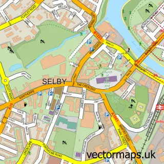
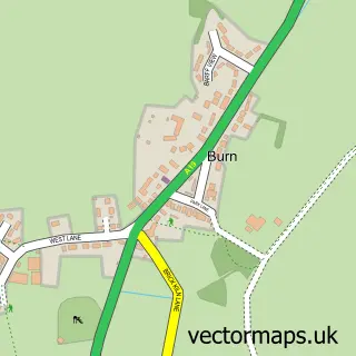
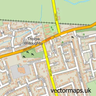
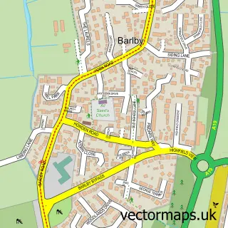
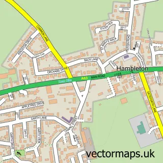
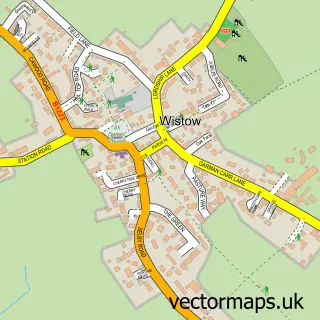
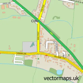
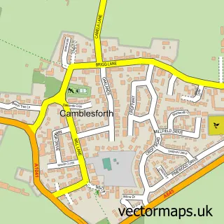
Nearby street map samples around Brayton

More street maps in North Yorkshire
750 metre map area coverage
Boundary, postcode and point of interest information for the 750m x 750m rectangle centred on this sample map.
Boundaries containing map centre
Constituency: Selby Co Const
District: North Yorkshire
Icb: NHS Humber and North Yorkshire ICB
Parish: Brayton CP
Police Force: north yorkshire
Postcode District: YO8
Postcode Sector: YO8 9
Nearby boundaries intersecting sample
No additional intersecting boundaries found.
Postcode coverage
POI category counts
Beauty And Spa: 3
Pub: 3
Beauty Salon: 2
Building Supply Store: 2
Carpet Cleaning: 2
Landmark And Historical Building: 2
Attractions And Activities: 1
Butcher Shop: 1
Charity Organization: 1
Contractor: 1
Sample points of interest
- Village Green, Brayton
- Kooks Salon
- Linda B's Nails,Beauty & Tanning
- Studio Fifteen
- Brookwood Hair Studio - Selby
- Nikki May Holistic & Beauty Therapy
- Sanderson Joinery
- Superior Lawn's
- C Dawson & Sons
- N Clean
- N Clean Carpet & Upholstery Cleaning Specialists
- Barnardo's
Create a larger editable map of Brayton
This sample shows only a 750 metre area. To create a larger map of Brayton, use our map builder to choose your own coverage area, add titles and download editable SVG, PDF and PNG files.
Create a custom map of Brayton