This Thorpe Willoughby street map is a detailed vector street map covering a 750m x 750m area. Select a larger area to create and download your own vector street map of Thorpe Willoughby.
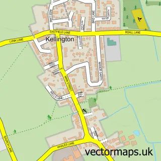
The 750-metre map sample for Thorpe Willoughby covers 555 mapped buildings and approximately 14.7 km of road detail, of which 36 named roads are named. The immediate area includes 1 school, 1 GP surgery within 2 miles, 1 pub and 2 MOT stations within 2 miles. The wider area around Thorpe Willoughby features 2 tourism points of interest, 1 food and drink venue and 1 campsite within 2 miles. To create a larger or custom map of Thorpe Willoughby, the map builder lets you define your own coverage area and download editable SVG, PDF and PNG files.
Create a larger editable map of Thorpe Willoughby
Choose any area you need and generate a high-quality vector map instantly. Perfect for print, planning, design, business and personal use.

This Thorpe Willoughby street map in North Yorkshire is available as downloadable SVG, PDF and PNG map files, or as a printed map for planning, business, display, education, local information and design work. You can also create a larger custom map area using the map selector.
What this Thorpe Willoughby map sample shows
Thorpe Willoughby lies within Thorpe Willoughby Cp parish, part of Thorpe Willoughby ward in the North Yorkshire local authority area. The postcode geography for this area includes the YO postcode area, the YO8 postcode district and the YO8 9 postcode sector. Residents fall under the Nhs Humber And North Yorkshire Integrated Care Board for NHS services.
Local features near Thorpe Willoughby
Within 2 milesAmenities and services in and around Thorpe Willoughby.
Administrative and postcode information for Thorpe Willoughby
Thorpe Willoughby lies within Thorpe Willoughby Cp parish, part of Thorpe Willoughby ward in the North Yorkshire local authority area. The postcode geography for this area includes the YO postcode area, the YO8 postcode district and the YO8 9 postcode sector. Residents fall under the Nhs Humber And North Yorkshire Integrated Care Board for NHS services.
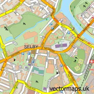
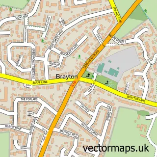
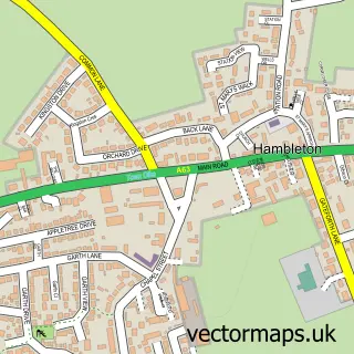
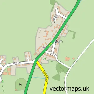
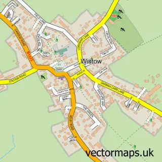
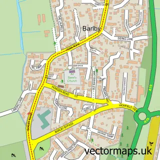
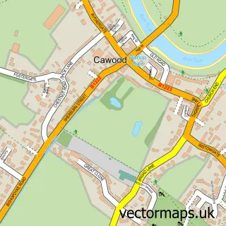
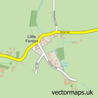
Nearby street map samples around Thorpe Willoughby

More street maps in North Yorkshire
750 metre map area coverage
Boundary, postcode and point of interest information for the 750m x 750m rectangle centred on this sample map.
Boundaries containing map centre
Constituency: Selby Co Const
District: North Yorkshire
Icb: NHS Humber and North Yorkshire ICB
Parish: Thorpe Willoughby CP
Police Force: north yorkshire
Postcode District: YO8
Postcode Sector: YO8 9
Nearby boundaries intersecting sample
Parish: Selby CP
Postcode coverage
POI category counts
Bar And Grill Restaurant: 2
Doctor: 2
Post Office: 2
Attractions And Activities: 1
Beauty Salon: 1
Chemical Plant: 1
Cupcake Shop: 1
Elementary School: 1
Fish And Chips Restaurant: 1
Graphic Designer: 1
Sample points of interest
- Thorpe Willoughby Gardening Club
- The Den
- The Lock Inn
- Beauty.Thestables
- The Gas Man
- Loving Declarations
- ACA Rejuvenate Clinic
- South Milford Surgery - Thorpe Willoughby
- Thorpe Willoughby Community Primary School
- Fox Lane Fryer Fish and Chips
- OCM Design Ltd
- Lindley Crane & Plant Hire
Create a larger editable map of Thorpe Willoughby
This sample shows only a 750 metre area. To create a larger map of Thorpe Willoughby, use our map builder to choose your own coverage area, add titles and download editable SVG, PDF and PNG files.
Create a custom map of Thorpe Willoughby