Vector Maps logo
Home Why it works Popular maps Districts Samples Customizer Create Your Map
VectorMaps.uk
Home Popular maps Districts Samples Customizer Create Your Map Privacy Disclaimer
Home / UK Maps / North Yorkshire / Cawood Map

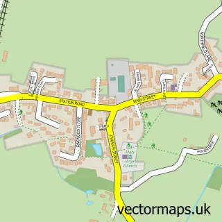
This Cawood street map is a detailed vector street map covering a 750m x 750m area. Select a larger area to create and download your own vector street map of Cawood.

Cawood is a village in North Yorkshire, in the Yorkshire And The Humber of England. Historically, the area formed part of Yorkshire. The settlement falls within the Selby And Ainsty parliamentary constituency. It is served by the YO8 postcode district, wi

The 750-metre map sample for Cawood covers 327 mapped buildings and approximately 14.4 km of road detail, of which 26 named roads are named. The immediate area includes 1 school and 3 pubs. The wider area around Cawood features 2 tourism points of interest, 6 food and drink venues and 1 hotel. To create a larger or custom map of Cawood, the map builder lets you define your own coverage area and download editable SVG, PDF and PNG files.

327Buildings
14.39 kmRoads
26Named roads
1,427Residents within 2 miles
Create your own

Create a larger editable map of Cawood

Choose any area you need and generate a high-quality vector map instantly. Perfect for print, planning, design, business and personal use.

Choose any location
Editable SVG files
Any size up to A0
PDF, PNG & more
Instant download
High quality guaranteed
Create My Custom Map
Secure, private & no credit card required
Cawood Vector Street Map
750m Sample
Cawood vector street map sample showing roads, buildings and local features in a 750 metre preview area
Buy Cawood Map Print from £12.95 Buy Cawood Digital Map from £6

This Cawood street map in North Yorkshire is available as downloadable SVG, PDF and PNG map files, or as a printed map for planning, business, display, education, local information and design work. You can also create a larger custom map area using the map selector.

What this Cawood map sample shows

Cawood lies within Cawood Cp parish, part of Cawood & Wistow ward in the North Yorkshire local authority area. The postcode geography for this area includes the YO postcode area, the YO8 postcode district and the YO8 3 postcode sector. Residents fall under the Nhs Humber And North Yorkshire Integrated Care Board for NHS services.

Local features near Cawood

Within 2 miles

Amenities and services in and around Cawood.

1 Schools
1 Campsites within 2 miles
2 Tourism & leisure
6 Food & drink
3 Pubs
1 Hotels
1 Vehicle services

Counts are approximate and based on publicly available data.

Administrative and postcode information for Cawood

The local authority covering Cawood is North Yorkshire, within the county of North Yorkshire. The settlement lies within Cawood & Wistow ward and Cawood Cp civil parish. The YO8 postcode district and YO8 3 postcode sector serve the immediate area. NHS provision in the area is delivered through York And Scarborough Teaching Hospitals Nhs Foundation Trust.

Parish Cawood CP
Ward Cawood & Wistow
District / local authority North Yorkshire
County North Yorkshire
Historic county Yorkshire
Postcode district YO8
Postcode sector YO8 3
Parliamentary constituency Selby and Ainsty
Region Yorkshire and the Humber
Country England

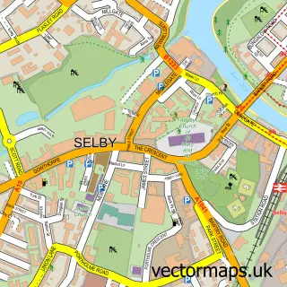
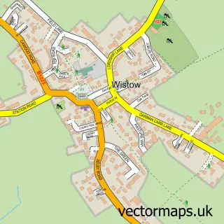
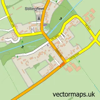
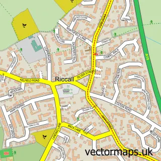
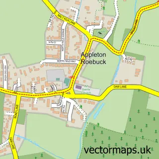
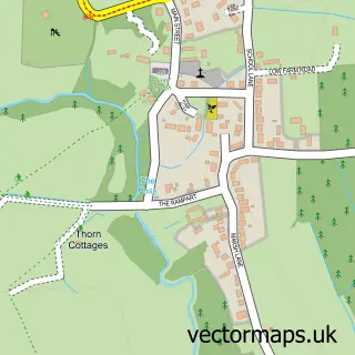
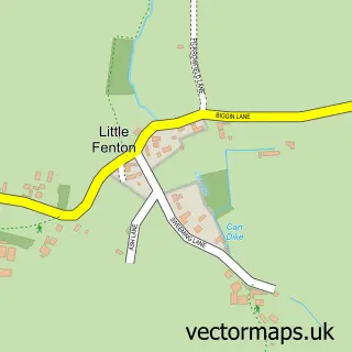
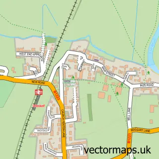
Nearby street map samples around Cawood

Street map sample of Selby, North Yorkshire Selby Town - North Yorkshire - 4.1 miles Street map sample of York, North Yorkshire York City - North Yorkshire - 9.0 miles Street map sample of Wistow, North Yorkshire Wistow Village - North Yorkshire - 1.8 miles Street map sample of Stillingfleet, North Yorkshire Stillingfleet Village - North Yorkshire - 2.4 miles Street map sample of Riccall, North Yorkshire Riccall Village - North Yorkshire - 2.9 miles Street map sample of Appleton Roebuck, North Yorkshire Appleton Roebuck Village - North Yorkshire - 3.1 miles Street map sample of Bolton Percy, North Yorkshire Bolton Percy Village - North Yorkshire - 3.3 miles Street map sample of Little Fenton, North Yorkshire Little Fenton Village - North Yorkshire - 3.5 miles Street map sample of Ulleskelf, North Yorkshire Ulleskelf Village - North Yorkshire - 3.7 miles Street map sample of Church Fenton, North Yorkshire Church Fenton Village - North Yorkshire - 3.7 miles

More street maps in North Yorkshire

Street map sample of Wistow, North Yorkshire Wistow Village - 1.8 miles Street map sample of Stillingfleet, North Yorkshire Stillingfleet Village - 2.4 miles Street map sample of Riccall, North Yorkshire Riccall Village - 2.9 miles Street map sample of Appleton Roebuck, North Yorkshire Appleton Roebuck Village - 3.1 miles Street map sample of Bolton Percy, North Yorkshire Bolton Percy Village - 3.3 miles

750 metre map area coverage

Boundary, postcode and point of interest information for the 750m x 750m rectangle centred on this sample map.

Boundaries containing map centre

Constituency: Selby Co Const

District: North Yorkshire

Icb: NHS Humber and North Yorkshire ICB

Parish: Cawood CP

Police Force: north yorkshire

Postcode District: YO8

Postcode Sector: YO8 3

Nearby boundaries intersecting sample

Parish: Kelfield CP

Postcode coverage

YO8 YO8 3

POI category counts

Beauty Salon: 5

Pub: 3

Books Mags Music And Video: 2

Cafe: 2

Home Improvement Store: 2

Pet Groomer: 2

Architectural Designer: 1

Art Gallery: 1

Arts And Crafts: 1

Arts And Entertainment: 1

Sample points of interest

  • Finn and Finn Architect Architectural Designer
  • Silo Art Gallery Art Gallery
  • Wool & Buttons Arts And Crafts
  • The Cawood Fairy Trail Arts And Entertainment
  • Cawood Body Shop & Valet Centre Automotive Repair
  • Lloyds Bank Bank Credit Union
  • Jazz Hair Studio Barber
  • Clare Carroll Beauty Beauty Salon
  • Jazz Hair & Beauty Beauty Salon
  • La Bonne Vie Beauty Salon
  • Nicola Mack Beauty at Jazz Beauty Salon
  • Plasmablast Skin Tightening Beauty Salon

Create a larger editable map of Cawood

This sample shows only a 750 metre area. To create a larger map of Cawood, use our map builder to choose your own coverage area, add titles and download editable SVG, PDF and PNG files.

Create a custom map of Cawood

Phone 01751 473136 | Copyright Vectormaps.uk 2026

Samples Customizer Privacy Disclaimer
Cawood Vector Street Map
Cawood enlarged street map sample showing a 750 metre preview area