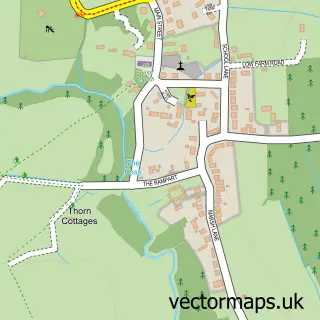
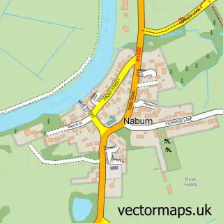
This Appleton Roebuck street map is a detailed vector street map covering a 750m x 750m area. Select a larger area to create and download your own vector street map of Appleton Roebuck.
The 750-metre map sample for Appleton Roebuck covers 223 mapped buildings and approximately 12.1 km of road detail, of which 18 named roads are named. The immediate area includes 1 school, 2 pubs and 1 MOT station. The wider area around Appleton Roebuck features 1 tourism point of interest, 2 food and drink venues and 1 campsite within 2 miles. To create a larger or custom map of Appleton Roebuck, the map builder lets you define your own coverage area and download editable SVG, PDF and PNG files.
Create a larger editable map of Appleton Roebuck
Choose any area you need and generate a high-quality vector map instantly. Perfect for print, planning, design, business and personal use.

This Appleton Roebuck street map in North Yorkshire is available as downloadable SVG, PDF and PNG map files, or as a printed map for planning, business, display, education, local information and design work. You can also create a larger custom map area using the map selector.
What this Appleton Roebuck map sample shows
Appleton Roebuck lies within Appleton Roebuck Cp parish, part of Appleton Roebuck & Church Fenton ward in the North Yorkshire local authority area. The postcode geography for this area includes the YO postcode area, the YO23 postcode district and the YO23 7 postcode sector. Residents fall under the Nhs Humber And North Yorkshire Integrated Care Board for NHS services.
Local features near Appleton Roebuck
Within 2 milesAmenities and services in and around Appleton Roebuck.
Administrative and postcode information for Appleton Roebuck
Appleton Roebuck lies within Appleton Roebuck Cp parish, part of Appleton Roebuck & Church Fenton ward in the North Yorkshire local authority area. The postcode geography for this area includes the YO postcode area, the YO23 postcode district and the YO23 7 postcode sector. Residents fall under the Nhs Humber And North Yorkshire Integrated Care Board for NHS services.
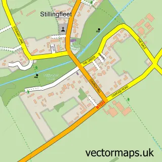
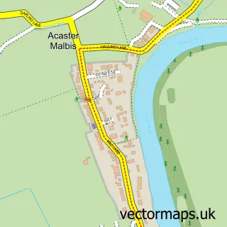
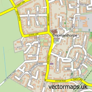
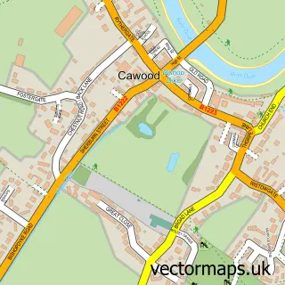
Nearby street map samples around Appleton Roebuck

More street maps in North Yorkshire
750 metre map area coverage
Boundary, postcode and point of interest information for the 750m x 750m rectangle centred on this sample map.
Boundaries containing map centre
Constituency: Wetherby and Easingwold Co Const
District: North Yorkshire
Icb: NHS Humber and North Yorkshire ICB
Parish: Appleton Roebuck CP
Police Force: north yorkshire
Postcode District: YO23
Postcode Sector: YO23 7
Nearby boundaries intersecting sample
No additional intersecting boundaries found.
Postcode coverage
POI category counts
Pub: 2
Bakery: 1
Bridal Shop: 1
Church Cathedral: 1
Engineering Services: 1
Ethical Grocery: 1
Home Service: 1
It Service And Computer Repair: 1
Landmark And Historical Building: 1
Marketing Consultant: 1
Sample points of interest
- The barn
- Pizzazz Wedding Planning Consultancy
- All Saints Appleton Roebuck
- CDMS Sub-Surface Engineering Limited
- Dancing Goat Coffee
- Pro-Serve Cleaning Solutions & Facilities Management
- Iveson Computers
- Appleton Roebuck
- Think Colour
- Hawthorn Printmaker Supplies
- Cs Online Retail
- Whistle's of York
Create a larger editable map of Appleton Roebuck
This sample shows only a 750 metre area. To create a larger map of Appleton Roebuck, use our map builder to choose your own coverage area, add titles and download editable SVG, PDF and PNG files.
Create a custom map of Appleton Roebuck