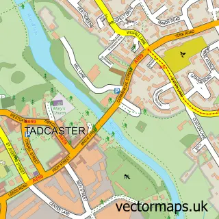
This Copmanthorpe street map is a detailed vector street map covering a 750m x 750m area. Select a larger area to create and download your own vector street map of Copmanthorpe.
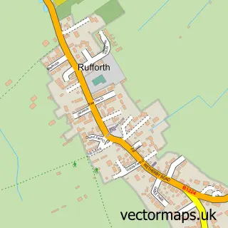
The 750-metre map sample for Copmanthorpe covers 589 mapped buildings and approximately 21.0 km of road detail, of which 44 named roads are named. The immediate area includes 1 school, 1 GP surgery, 1 pub and 1 MOT station, with 4 within 2 miles. The wider area around Copmanthorpe features 3 food and drink venues and 2 campsites within 2 miles. To create a larger or custom map of Copmanthorpe, the map builder lets you define your own coverage area and download editable SVG, PDF and PNG files.
Create a larger editable map of Copmanthorpe
Choose any area you need and generate a high-quality vector map instantly. Perfect for print, planning, design, business and personal use.

This Copmanthorpe street map in North Yorkshire is available as downloadable SVG, PDF and PNG map files, or as a printed map for planning, business, display, education, local information and design work. You can also create a larger custom map area using the map selector.
What this Copmanthorpe map sample shows
Copmanthorpe lies within Copmanthorpe Cp parish, part of Copmanthorpe ward in the York (B) local authority area. The postcode geography for this area includes the YO postcode area, the YO23 postcode district and the YO23 3 postcode sector. Residents fall under the Nhs Humber And North Yorkshire Integrated Care Board for NHS services.
Local features near Copmanthorpe
Within 2 milesAmenities and services in and around Copmanthorpe.
Administrative and postcode information for Copmanthorpe
The local authority covering Copmanthorpe is York (B), within the county of North Yorkshire. The settlement lies within Copmanthorpe ward and Copmanthorpe Cp civil parish. The YO23 postcode district and YO23 3 postcode sector serve the immediate area. NHS provision in the area is delivered through York And Scarborough Teaching Hospitals Nhs Foundation Trust.
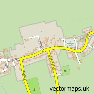
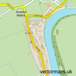
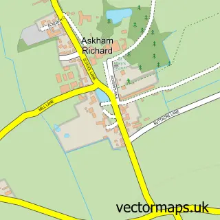
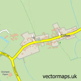
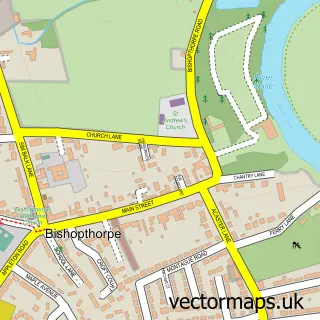
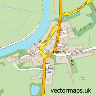
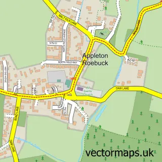
Nearby street map samples around Copmanthorpe

More street maps in North Yorkshire
750 metre map area coverage
Boundary, postcode and point of interest information for the 750m x 750m rectangle centred on this sample map.
Boundaries containing map centre
Constituency: York Outer Co Const
District: York (B)
Icb: NHS Humber and North Yorkshire ICB
Parish: Copmanthorpe CP
Police Force: north yorkshire
Postcode District: YO23
Postcode Sector: YO23 3
Ward: Copmanthorpe Ward
Nearby boundaries intersecting sample
No additional intersecting boundaries found.
Postcode coverage
POI category counts
Child Care And Day Care: 3
Preschool: 3
Automotive Repair: 2
Barber: 2
Bridal Shop: 2
Cafe: 2
Church Cathedral: 2
Doctor: 2
Elementary School: 2
Financial Advising: 2
Sample points of interest
- AIMS Accountants For Business - Paul Savage
- L & S Advertising Solutions
- St Giles', Copmanthorpe
- The Cooperative Food (BF) Copmanthorpe, Copmanthorpe
- ABR
- Colour Fix
- Copmanthorpe M.o.ts
- Copmanthorpe Mots ltd
- Cherub Pie
- Solo Hairdressing for Men
- Solo Hairdressing for men
- The Salon
Create a larger editable map of Copmanthorpe
This sample shows only a 750 metre area. To create a larger map of Copmanthorpe, use our map builder to choose your own coverage area, add titles and download editable SVG, PDF and PNG files.
Create a custom map of Copmanthorpe