Vector Maps logo
Home Why it works Popular maps Districts Samples Customizer Create Your Map
VectorMaps.uk
Home Popular maps Districts Samples Customizer Create Your Map Privacy Disclaimer
Home / UK Maps / North Yorkshire / Tadcaster Map

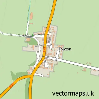
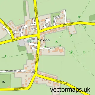
This Tadcaster street map is a detailed vector street map covering a 750m x 750m area. Select a larger area to create and download your own vector street map of Tadcaster.

Tadcaster is a town in North Yorkshire, in the Yorkshire And The Humber of England. Historically, the area formed part of Yorkshire. The settlement falls within the Selby And Ainsty parliamentary constituency. It is served by the LS24 postcode district, w

The 750-metre map sample for Tadcaster covers 286 mapped buildings and approximately 13.4 km of road detail, of which 31 named roads are named. The immediate area includes 1 GP surgery, 9 pubs and 1 MOT station, with 3 within 2 miles. The wider area around Tadcaster features 1 tourism point of interest and 14 food and drink venues. To create a larger or custom map of Tadcaster, the map builder lets you define your own coverage area and download editable SVG, PDF and PNG files.

286Buildings
13.43 kmRoads
31Named roads
3,261Residents within 2 miles
Create your own

Create a larger editable map of Tadcaster

Choose any area you need and generate a high-quality vector map instantly. Perfect for print, planning, design, business and personal use.

Choose any location
Editable SVG files
Any size up to A0
PDF, PNG & more
Instant download
High quality guaranteed
Create My Custom Map
Secure, private & no credit card required
Tadcaster Vector Street Map
750m Sample
Tadcaster vector street map sample showing roads, buildings and local features in a 750 metre preview area
Buy Tadcaster Map Print from £12.95 Buy Tadcaster Digital Map from £6

This Tadcaster street map in North Yorkshire is available as downloadable SVG, PDF and PNG map files, or as a printed map for planning, business, display, education, local information and design work. You can also create a larger custom map area using the map selector.

What this Tadcaster map sample shows

Tadcaster lies within Tadcaster Cp parish, part of Tadcaster ward in the North Yorkshire local authority area. The postcode geography for this area includes the LS postcode area, the LS24 postcode district and the LS24 9 postcode sector. Residents fall under the Nhs Humber And North Yorkshire Integrated Care Board for NHS services.

Local features near Tadcaster

Within 2 miles

Amenities and services in and around Tadcaster.

1 GP surgeries 1 within 2 miles
1 MOT stations 3 within 2 miles
1 Tourism & leisure
14 Food & drink
9 Pubs
9 Healthcare POIs
2 Vehicle services

Counts are approximate and based on publicly available data.

Administrative and postcode information for Tadcaster

The local authority covering Tadcaster is North Yorkshire, within the county of North Yorkshire. The settlement lies within Tadcaster ward and Tadcaster Cp civil parish. The LS24 postcode district and LS24 9 postcode sector serve the immediate area. NHS provision in the area is delivered through York And Scarborough Teaching Hospitals Nhs Foundation Trust.

Parish Tadcaster CP
Ward Tadcaster
District / local authority North Yorkshire
County North Yorkshire
Historic county Yorkshire
Postcode district LS24
Postcode sector LS24 9
Parliamentary constituency Selby and Ainsty
Region Yorkshire and the Humber
Country England

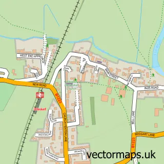
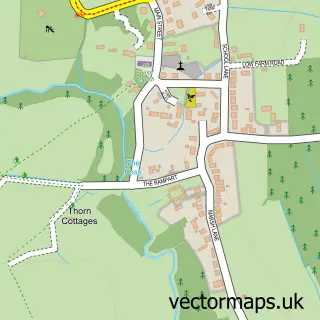
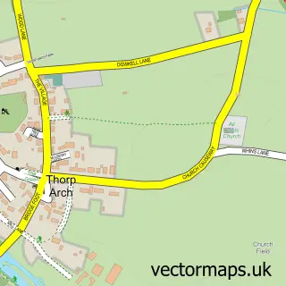
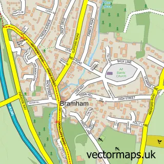
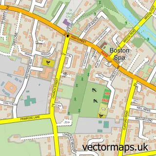
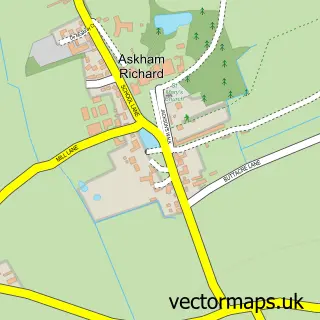
Nearby street map samples around Tadcaster

Street map sample of York, North Yorkshire York City - North Yorkshire - 8.9 miles Street map sample of Towton, North Yorkshire Towton Village - North Yorkshire - 2.5 miles Street map sample of Ulleskelf, North Yorkshire Ulleskelf Village - North Yorkshire - 2.9 miles Street map sample of Bolton Percy, North Yorkshire Bolton Percy Village - North Yorkshire - 3.1 miles Street map sample of Colton, North Yorkshire Colton Village - North Yorkshire - 3.4 miles Street map sample of Thorp Arch, West Yorkshire Thorp Arch Village - West Yorkshire - 3.6 miles Street map sample of Bramham, West Yorkshire Bramham Village - West Yorkshire - 3.8 miles Street map sample of Boston Spa, West Yorkshire Boston Spa Village - West Yorkshire - 3.8 miles Street map sample of Askham Richard, North Yorkshire Askham Richard Village - North Yorkshire - 4.1 miles Street map sample of Saxton, North Yorkshire Saxton Village - North Yorkshire - 4.2 miles

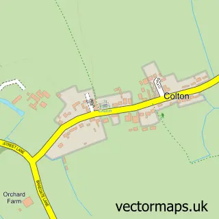
More street maps in North Yorkshire

Street map sample of Towton, North Yorkshire Towton Village - 2.5 miles Street map sample of Ulleskelf, North Yorkshire Ulleskelf Village - 2.9 miles Street map sample of Bolton Percy, North Yorkshire Bolton Percy Village - 3.1 miles Street map sample of Colton, North Yorkshire Colton Village - 3.4 miles Street map sample of Askham Richard, North Yorkshire Askham Richard Village - 4.1 miles

750 metre map area coverage

Boundary, postcode and point of interest information for the 750m x 750m rectangle centred on this sample map.

Boundaries containing map centre

Constituency: Wetherby and Easingwold Co Const

District: North Yorkshire

Icb: NHS Humber and North Yorkshire ICB

Parish: Tadcaster CP

Police Force: north yorkshire

Postcode District: LS24

Postcode Sector: LS24 8

Nearby boundaries intersecting sample

Postcode Sector: LS24 9

Postcode coverage

LS24 LS24 8 LS24 9

POI category counts

Pub: 9

Professional Services: 8

Barber: 5

Brewery: 5

Flowers And Gifts Shop: 5

Bar: 4

Dentist: 4

Hair Salon: 4

Bakery: 3

Bank Credit Union: 3

Sample points of interest

  • Mercury North Advertising Agency
  • St Mary's Tadcaster Anglican Church
  • Gallery 42 Art Gallery
  • Cheungs Asian Restaurant
  • Northern Rose Campervan Conversions Automotive Parts And Accessories
  • Power Plus Autos Automotive Repair
  • Spraykraft Automotive Repair
  • Commercial Street MOT Service Centre Automotive Services And Repair
  • Tricky Design Automotive Services And Repair
  • Coopland Bakery
  • Quite Contrary Cakes Bakery
  • Willow's Bakes Bakery

Create a larger editable map of Tadcaster

This sample shows only a 750 metre area. To create a larger map of Tadcaster, use our map builder to choose your own coverage area, add titles and download editable SVG, PDF and PNG files.

Create a custom map of Tadcaster

Phone 01751 473136 | Copyright Vectormaps.uk 2026

Samples Customizer Privacy Disclaimer
Tadcaster Vector Street Map
Tadcaster enlarged street map sample showing a 750 metre preview area