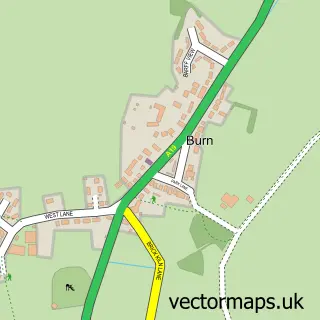
This Wistow street map is a detailed vector street map covering a 750m x 750m area. Select a larger area to create and download your own vector street map of Wistow.
The 750-metre map sample for Wistow covers 372 mapped buildings and approximately 11.2 km of road detail, of which 27 named roads are named. The immediate area includes 1 school and 1 pub. The wider area around Wistow features 1 tourism point of interest, 1 food and drink venue and 2 campsites within 2 miles. To create a larger or custom map of Wistow, the map builder lets you define your own coverage area and download editable SVG, PDF and PNG files.
Create a larger editable map of Wistow
Choose any area you need and generate a high-quality vector map instantly. Perfect for print, planning, design, business and personal use.

This Wistow street map in North Yorkshire is available as downloadable SVG, PDF and PNG map files, or as a printed map for planning, business, display, education, local information and design work. You can also create a larger custom map area using the map selector.
What this Wistow map sample shows
Wistow lies within Wistow Cp parish, part of Cawood & Wistow ward in the North Yorkshire local authority area. The postcode geography for this area includes the YO postcode area, the YO8 postcode district and the YO8 3 postcode sector. Residents fall under the Nhs Humber And North Yorkshire Integrated Care Board for NHS services.
Local features near Wistow
Within 2 milesAmenities and services in and around Wistow.
Administrative and postcode information for Wistow
The local authority covering Wistow is North Yorkshire, within the county of North Yorkshire. The settlement lies within Cawood & Wistow ward and Wistow Cp civil parish. The YO8 postcode district and YO8 3 postcode sector serve the immediate area. NHS provision in the area is delivered through York And Scarborough Teaching Hospitals Nhs Foundation Trust.
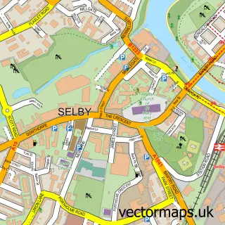
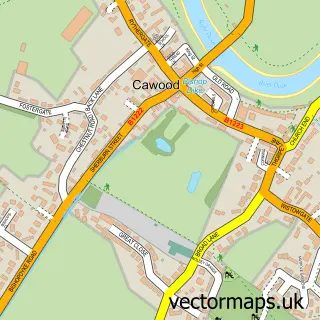
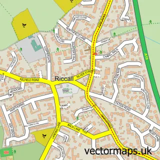
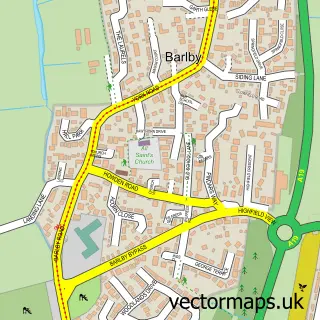
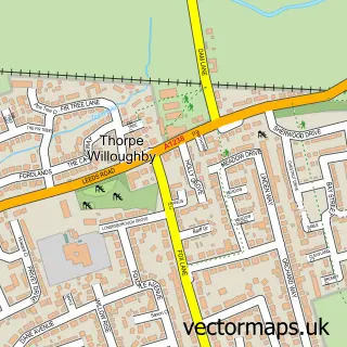
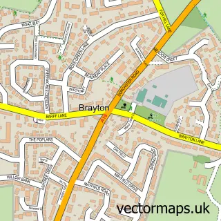
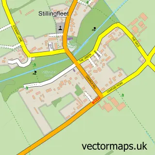
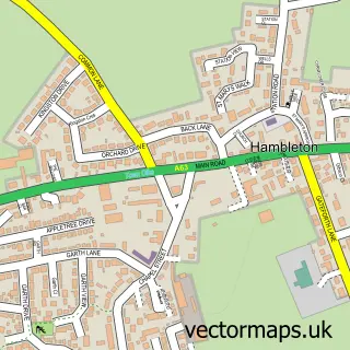
Nearby street map samples around Wistow

More street maps in North Yorkshire
750 metre map area coverage
Boundary, postcode and point of interest information for the 750m x 750m rectangle centred on this sample map.
Boundaries containing map centre
Constituency: Selby Co Const
District: North Yorkshire
Icb: NHS Humber and North Yorkshire ICB
Parish: Wistow CP
Police Force: north yorkshire
Postcode District: YO8
Postcode Sector: YO8 3
Nearby boundaries intersecting sample
No additional intersecting boundaries found.
Postcode coverage
POI category counts
Assisted Living Facility: 2
Advertising Agency: 1
Anglican Church: 1
Bar: 1
Building Supply Store: 1
Caterer: 1
Cinema: 1
Day Care Preschool: 1
Elementary School: 1
Fish And Chips Restaurant: 1
Sample points of interest
- Arkimedia Creative Communications
- All Saints
- Action 4 Care
- The Orchard
- The Bucking Fizz
- Excel Timber Products
- The Bucking fizz Ltd.
- Wistow Jubilee Village Hall
- Woosh club
- Wistow Parochial Church of England Primary School
- The Fat Fryer
- Black Swan
Create a larger editable map of Wistow
This sample shows only a 750 metre area. To create a larger map of Wistow, use our map builder to choose your own coverage area, add titles and download editable SVG, PDF and PNG files.
Create a custom map of Wistow