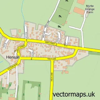
This Kellington street map is a detailed vector street map covering a 750m x 750m area. Select a larger area to create and download your own vector street map of Kellington.
The 750-metre map sample for Kellington covers 256 mapped buildings and approximately 11.3 km of road detail, of which 21 named roads are named. The immediate area includes 1 school, 1 pub and 1 MOT station, with 2 within 2 miles. The wider area around Kellington features 1 food and drink venue and 1 hotel. To create a larger or custom map of Kellington, the map builder lets you define your own coverage area and download editable SVG, PDF and PNG files.
Create a larger editable map of Kellington
Choose any area you need and generate a high-quality vector map instantly. Perfect for print, planning, design, business and personal use.

This Kellington street map in North Yorkshire is available as downloadable SVG, PDF and PNG map files, or as a printed map for planning, business, display, education, local information and design work. You can also create a larger custom map area using the map selector.
What this Kellington map sample shows
Kellington lies within Kellington Cp parish, part of Eggborough ward in the North Yorkshire local authority area. The postcode geography for this area includes the DN postcode area, the DN14 postcode district and the DN14 0 postcode sector. Residents fall under the Nhs Humber And North Yorkshire Integrated Care Board for NHS services.
Local features near Kellington
Within 2 milesAmenities and services in and around Kellington.
Administrative and postcode information for Kellington
Kellington lies within Kellington Cp parish, part of Eggborough ward in the North Yorkshire local authority area. The postcode geography for this area includes the DN postcode area, the DN14 postcode district and the DN14 0 postcode sector. Residents fall under the Nhs Humber And North Yorkshire Integrated Care Board for NHS services.
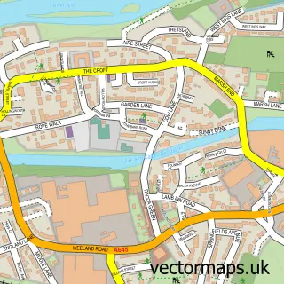
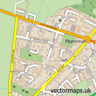
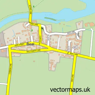
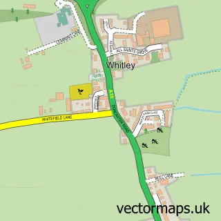
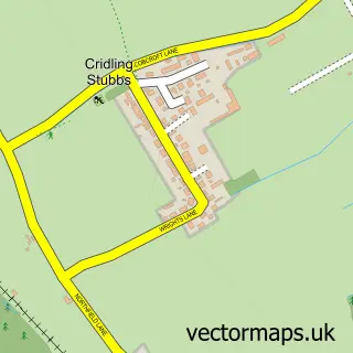
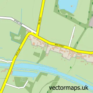
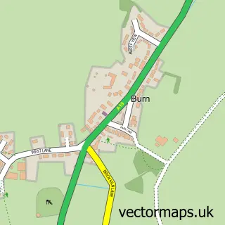
Nearby street map samples around Kellington


More street maps in North Yorkshire
750 metre map area coverage
Boundary, postcode and point of interest information for the 750m x 750m rectangle centred on this sample map.
Boundaries containing map centre
Constituency: Selby Co Const
District: North Yorkshire
Icb: NHS Humber and North Yorkshire ICB
Parish: Kellington CP
Police Force: north yorkshire
Postcode District: DN14
Postcode Sector: DN14 0
Nearby boundaries intersecting sample
No additional intersecting boundaries found.
Postcode coverage
POI category counts
Auction House: 1
Bridal Shop: 1
Convenience Store: 1
Elementary School: 1
Graphic Designer: 1
Hotel: 1
Pub: 1
Retirement Home: 1
Roofing: 1
Tutoring Center: 1
Sample points of interest
- Euro Auctions
- Holman Photographic
- Kellington Post Office
- Kellington Primary School
- Inchpunch Design Limited
- Old Vicarage
- Red Lion Kellington
- Meadow Lodge Care Ltd
- Brooks and Son Roofing
- Ssmaths-tutor
Create a larger editable map of Kellington
This sample shows only a 750 metre area. To create a larger map of Kellington, use our map builder to choose your own coverage area, add titles and download editable SVG, PDF and PNG files.
Create a custom map of Kellington