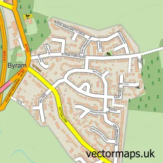
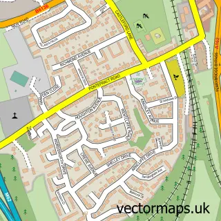
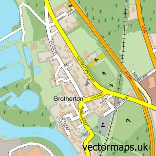
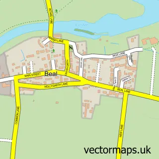
This Knottingley street map is a detailed vector street map covering a 750m x 750m area. Select a larger area to create and download your own vector street map of Knottingley.
The 750-metre map sample for Knottingley covers 430 mapped buildings and approximately 16.8 km of road detail, of which 45 named roads are named. The immediate area includes 1 school, 1 GP surgery within 2 miles, 1 pub and 2 MOT stations, with 6 within 2 miles. The wider area around Knottingley features 6 food and drink venues. To create a larger or custom map of Knottingley, the map builder lets you define your own coverage area and download editable SVG, PDF and PNG files.
Create a larger editable map of Knottingley
Choose any area you need and generate a high-quality vector map instantly. Perfect for print, planning, design, business and personal use.

This Knottingley street map in West Yorkshire is available as downloadable SVG, PDF and PNG map files, or as a printed map for planning, business, display, education, local information and design work. You can also create a larger custom map area using the map selector.
What this Knottingley map sample shows
Knottingley lies within Wakefield District (B) parish, part of Knottingley ward in the Wakefield District (B) local authority area. The postcode geography for this area includes the WF postcode area, the WF11 postcode district and the WF11 9 postcode sector. Residents fall under the Nhs West Yorkshire Integrated Care Board for NHS services.
Local features near Knottingley
Within 2 milesAmenities and services in and around Knottingley.
Administrative and postcode information for Knottingley
The local authority covering Knottingley is Wakefield District (B), within the county of West Yorkshire. The settlement lies within Knottingley ward and Wakefield District (B) civil parish. The WF11 postcode district and WF11 9 postcode sector serve the immediate area. NHS provision in the area is delivered through Mid Yorkshire Teaching Nhs Trust.
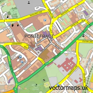
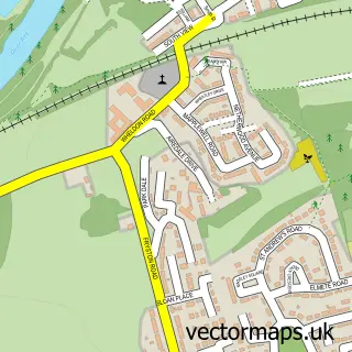
Nearby street map samples around Knottingley


More street maps in West Yorkshire
750 metre map area coverage
Boundary, postcode and point of interest information for the 750m x 750m rectangle centred on this sample map.
Boundaries containing map centre
Constituency: Pontefract, Castleford and Knottingley Co Const
District: Wakefield District (B)
Icb: NHS West Yorkshire ICB
Police Force: west yorkshire
Postcode District: WF11
Postcode Sector: WF11 9
Ward: Knottingley Ward
Nearby boundaries intersecting sample
Constituency: Selby Co Const
District: North Yorkshire
Icb: NHS Humber and North Yorkshire ICB
Parish: Brotherton CP
Police Force: north yorkshire
Postcode Sector: WF11 0, WF11 8
Postcode coverage
POI category counts
Automotive Repair: 4
Cafe: 3
Funeral Services And Cemeteries: 3
Hair Salon: 3
Indian Restaurant: 3
Sandwich Shop: 3
Car Dealer: 2
Flowers And Gifts Shop: 2
Pizza Restaurant: 2
Professional Services: 2
Sample points of interest
- Knottingley RUFC
- Wilco Motosave
- Knottingley Motor Wreckers
- Low Farm Garage
- SN Auto Repair
- SSA Sales
- Empire Cuts
- Gafs Restaurant
- Industrial Door Maintenance
- Temptations Burger & Shakes
- The New Foundry Studios
- Lees Lunch Box
Create a larger editable map of Knottingley
This sample shows only a 750 metre area. To create a larger map of Knottingley, use our map builder to choose your own coverage area, add titles and download editable SVG, PDF and PNG files.
Create a custom map of Knottingley