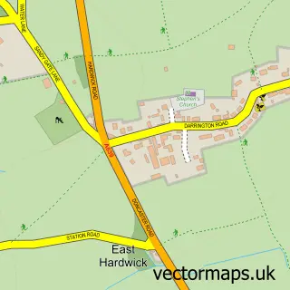
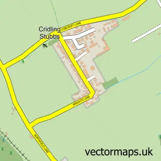
This Darrington street map is a detailed vector street map covering a 750m x 750m area. Select a larger area to create and download your own vector street map of Darrington.
The 750-metre map sample for Darrington covers 313 mapped buildings and approximately 9.1 km of road detail, of which 23 named roads are named. The immediate area includes 1 school, 1 GP surgery within 2 miles, 2 pubs and 6 MOT stations within 2 miles. The wider area around Darrington features 1 tourism point of interest, 2 food and drink venues and 2 hotels. To create a larger or custom map of Darrington, the map builder lets you define your own coverage area and download editable SVG, PDF and PNG files.
Create a larger editable map of Darrington
Choose any area you need and generate a high-quality vector map instantly. Perfect for print, planning, design, business and personal use.

This Darrington street map in West Yorkshire is available as downloadable SVG, PDF and PNG map files, or as a printed map for planning, business, display, education, local information and design work. You can also create a larger custom map area using the map selector.
What this Darrington map sample shows
Darrington lies within Darrington Cp parish, part of Pontefract South ward in the Wakefield District (B) local authority area. The postcode geography for this area includes the WF postcode area, the WF8 postcode district and the WF8 3 postcode sector. Residents fall under the Nhs West Yorkshire Integrated Care Board for NHS services.
Local features near Darrington
Within 2 milesAmenities and services in and around Darrington.
Administrative and postcode information for Darrington
Darrington lies within Darrington Cp parish, part of Pontefract South ward in the Wakefield District (B) local authority area. The postcode geography for this area includes the WF postcode area, the WF8 postcode district and the WF8 3 postcode sector. Residents fall under the Nhs West Yorkshire Integrated Care Board for NHS services.
Nearby street map samples around Darrington


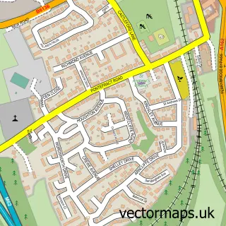
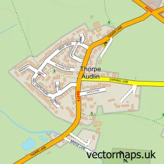
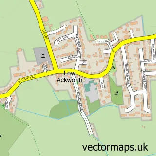
More street maps in West Yorkshire
750 metre map area coverage
Boundary, postcode and point of interest information for the 750m x 750m rectangle centred on this sample map.
Boundaries containing map centre
Constituency: Pontefract, Castleford and Knottingley Co Const
District: Wakefield District (B)
Icb: NHS West Yorkshire ICB
Parish: Darrington CP
Police Force: west yorkshire
Postcode District: WF8
Postcode Sector: WF8 3
Ward: Pontefract South Ward
Nearby boundaries intersecting sample
No additional intersecting boundaries found.
Postcode coverage
POI category counts
British Restaurant: 2
Carpenter: 2
Elementary School: 2
Hotel: 2
Pub: 2
Sporting Goods: 2
Anglican Church: 1
Arts And Crafts: 1
Business To Business Services: 1
Church Cathedral: 1
Sample points of interest
- Darrington Church
- The Events Emporium - Organising Artisan Markets & Vintage Fairs
- Chestnut House
- Darrington, Pontefract
- KYBC - Kyte Yorkshire Business Centre
- Darrington Church of England Primary School
- Good With Wood
- Darrington St Luke & All Saints Church
- Darrington Village Store
- Pontefract Driving Academy
- Darrington C of E Junior & Infants School
- Darrington C of E Junior & Infants School
Create a larger editable map of Darrington
This sample shows only a 750 metre area. To create a larger map of Darrington, use our map builder to choose your own coverage area, add titles and download editable SVG, PDF and PNG files.
Create a custom map of Darrington