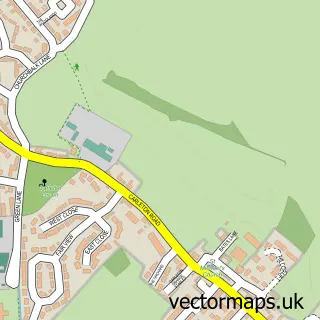
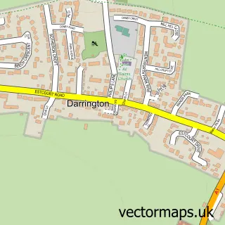
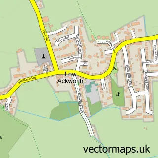
This Pontefract street map is a detailed vector street map covering a 750m x 750m area. Select a larger area to create and download your own vector street map of Pontefract.
The 750-metre map sample for Pontefract covers 246 mapped buildings and approximately 23.7 km of road detail, of which 64 named roads are named. The immediate area includes 1 school, 2 GP surgeries, with 3 within 2 miles, 26 pubs and 5 MOT stations, with 18 within 2 miles. The wider area around Pontefract features 4 tourism points of interest, 47 food and drink venues and 1 hotel. To create a larger or custom map of Pontefract, the map builder lets you define your own coverage area and download editable SVG, PDF and PNG files.
Create a larger editable map of Pontefract
Choose any area you need and generate a high-quality vector map instantly. Perfect for print, planning, design, business and personal use.

This Pontefract street map in West Yorkshire is available as downloadable SVG, PDF and PNG map files, or as a printed map for planning, business, display, education, local information and design work. You can also create a larger custom map area using the map selector.
What this Pontefract map sample shows
Pontefract lies within Wakefield District (B) parish, part of Pontefract North ward in the Wakefield District (B) local authority area. The postcode geography for this area includes the WF postcode area, the WF8 postcode district and the WF8 1 postcode sector. Residents fall under the Nhs West Yorkshire Integrated Care Board for NHS services.
Local features near Pontefract
Within 2 milesAmenities and services in and around Pontefract.
Administrative and postcode information for Pontefract
Pontefract lies within Wakefield District (B) parish, part of Pontefract North ward in the Wakefield District (B) local authority area. The postcode geography for this area includes the WF postcode area, the WF8 postcode district and the WF8 1 postcode sector. Residents fall under the Nhs West Yorkshire Integrated Care Board for NHS services.
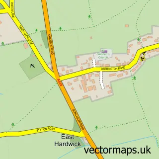
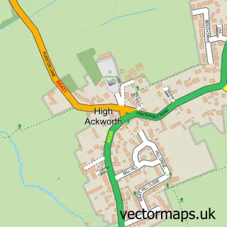
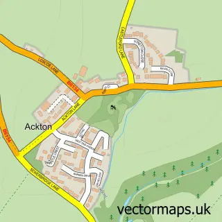
Nearby street map samples around Pontefract

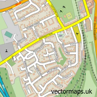
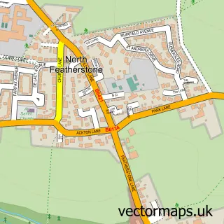
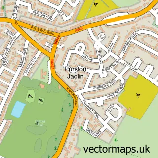
More street maps in West Yorkshire
750 metre map area coverage
Boundary, postcode and point of interest information for the 750m x 750m rectangle centred on this sample map.
Boundaries containing map centre
Constituency: Pontefract, Castleford and Knottingley Co Const
District: Wakefield District (B)
Icb: NHS West Yorkshire ICB
Police Force: west yorkshire
Postcode District: WF8
Postcode Sector: WF8 1
Ward: Pontefract North Ward
Nearby boundaries intersecting sample
Postcode Sector: WF8 2, WF8 4
Ward: Pontefract South Ward
Postcode coverage
POI category counts
Pub: 26
Bar: 20
Beauty Salon: 20
Real Estate Agent: 18
Hair Salon: 17
Professional Services: 16
Beauty And Spa: 12
Clothing Store: 12
Accountant: 10
Tattoo And Piercing: 10
Sample points of interest
- H B H Chartered Accountants
- HBH Chartered Accountants
- Hbh Chartered Accountants
- Lofthouse & Co
- Malcolm Hurst Accountants Ltd
- Southgate Business Centre
- Stephens Accountancy Services
- Stephens Accountants
- Townends
- Wright & Co.
- 412 Sport
- Dev Moves
Create a larger editable map of Pontefract
This sample shows only a 750 metre area. To create a larger map of Pontefract, use our map builder to choose your own coverage area, add titles and download editable SVG, PDF and PNG files.
Create a custom map of Pontefract