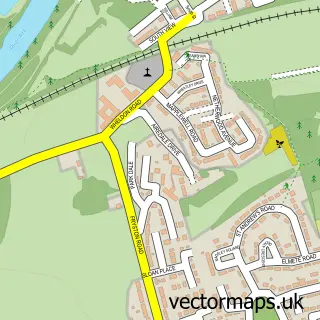
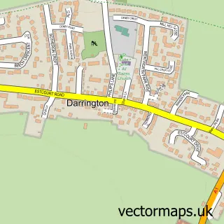
This Ferrybridge street map is a detailed vector street map covering a 750m x 750m area. Select a larger area to create and download your own vector street map of Ferrybridge.
The 750-metre map sample for Ferrybridge covers 491 mapped buildings and approximately 19.6 km of road detail, of which 29 named roads are named. The immediate area includes 1 school, 2 GP surgeries within 2 miles and 1 MOT station, with 17 within 2 miles. The wider area around Ferrybridge features 1 food and drink venue. To create a larger or custom map of Ferrybridge, the map builder lets you define your own coverage area and download editable SVG, PDF and PNG files.
Create a larger editable map of Ferrybridge
Choose any area you need and generate a high-quality vector map instantly. Perfect for print, planning, design, business and personal use.

This Ferrybridge street map in West Yorkshire is available as downloadable SVG, PDF and PNG map files, or as a printed map for planning, business, display, education, local information and design work. You can also create a larger custom map area using the map selector.
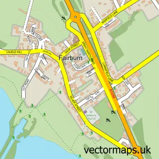
What this Ferrybridge map sample shows
Ferrybridge lies within Wakefield District (B) parish, part of Knottingley ward in the Wakefield District (B) local authority area. The postcode geography for this area includes the WF postcode area, the WF11 postcode district and the WF11 8 postcode sector. Residents fall under the Nhs West Yorkshire Integrated Care Board for NHS services.
Local features near Ferrybridge
Within 2 milesAmenities and services in and around Ferrybridge.
Administrative and postcode information for Ferrybridge
The local authority covering Ferrybridge is Wakefield District (B), within the county of West Yorkshire. The settlement lies within Knottingley ward and Wakefield District (B) civil parish. The WF11 postcode district and WF11 8 postcode sector serve the immediate area. NHS provision in the area is delivered through Mid Yorkshire Teaching Nhs Trust.
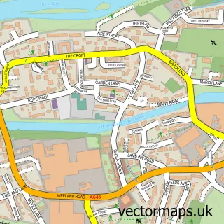
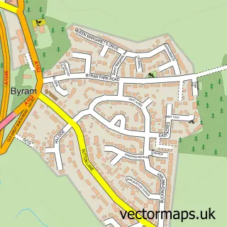
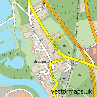
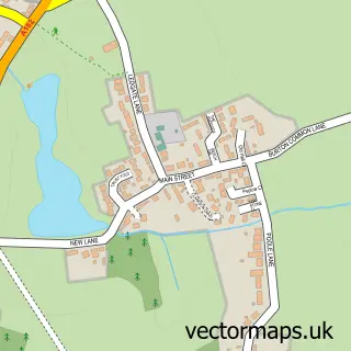
Nearby street map samples around Ferrybridge

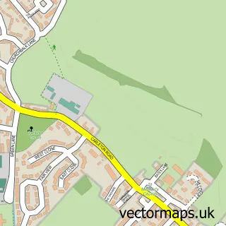
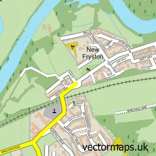
More street maps in West Yorkshire
750 metre map area coverage
Boundary, postcode and point of interest information for the 750m x 750m rectangle centred on this sample map.
Boundaries containing map centre
Constituency: Pontefract, Castleford and Knottingley Co Const
District: Wakefield District (B)
Icb: NHS West Yorkshire ICB
Police Force: west yorkshire
Postcode District: WF11
Postcode Sector: WF11 8
Ward: Knottingley Ward
Nearby boundaries intersecting sample
Postcode Sector: WF11 0
Postcode coverage
POI category counts
Auto Detailing: 2
Beauty Salon: 2
Driving School: 2
Vocational And Technical School: 2
Amateur Sports Team: 1
Automotive: 1
Automotive Repair: 1
Beauty And Spa: 1
Bicycle Shop: 1
Car Wash: 1
Sample points of interest
- FC Pontefract
- Mr Bit Valeting and Detailing
- Super Shine Ferrybrige hand car wash
- Vtec Direct Ltd.
- Thorpe Brothers Garage
- Hair Cube by Danielle
- Hair by Jess.W
- Startan Ferrybridge
- J's Cycles
- Knottingley Hand CarWash Under15s.
- St Andrew's Church
- Snetterton Race Circuit
Create a larger editable map of Ferrybridge
This sample shows only a 750 metre area. To create a larger map of Ferrybridge, use our map builder to choose your own coverage area, add titles and download editable SVG, PDF and PNG files.
Create a custom map of Ferrybridge