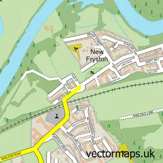
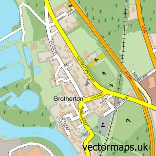
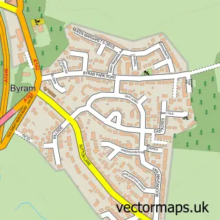
This Wheldon street map is a detailed vector street map covering a 750m x 750m area. Select a larger area to create and download your own vector street map of Wheldon.
The 750-metre map sample for Wheldon covers 258 mapped buildings and approximately 11.8 km of road detail, of which 22 named roads are named. The immediate area includes 1 GP surgery, with 4 within 2 miles and 16 MOT stations within 2 miles. The wider area around Wheldon features 1 tourism point of interest. To create a larger or custom map of Wheldon, the map builder lets you define your own coverage area and download editable SVG, PDF and PNG files.
Create a larger editable map of Wheldon
Choose any area you need and generate a high-quality vector map instantly. Perfect for print, planning, design, business and personal use.

This Wheldon street map in West Yorkshire is available as downloadable SVG, PDF and PNG map files, or as a printed map for planning, business, display, education, local information and design work. You can also create a larger custom map area using the map selector.
What this Wheldon map sample shows
Wheldon lies within Wakefield District (B) parish, part of Airedale And Ferry Fryston ward in the Wakefield District (B) local authority area. The postcode geography for this area includes the WF postcode area, the WF10 postcode district and the WF10 2 postcode sector. Residents fall under the Nhs West Yorkshire Integrated Care Board for NHS services.
Local features near Wheldon
Within 2 milesAmenities and services in and around Wheldon.
Administrative and postcode information for Wheldon
The local authority covering Wheldon is Wakefield District (B), within the county of West Yorkshire. The settlement lies within Airedale And Ferry Fryston ward and Wakefield District (B) civil parish. The WF10 postcode district and WF10 2 postcode sector serve the immediate area. NHS provision in the area is delivered through Mid Yorkshire Teaching Nhs Trust.
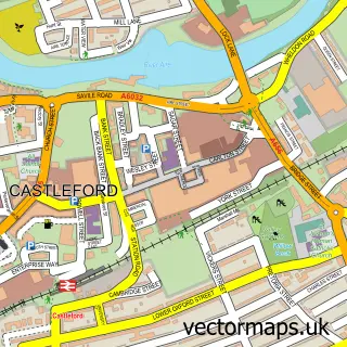
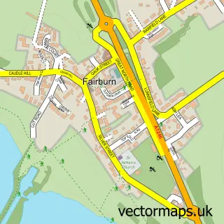
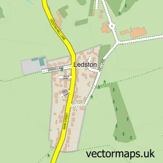
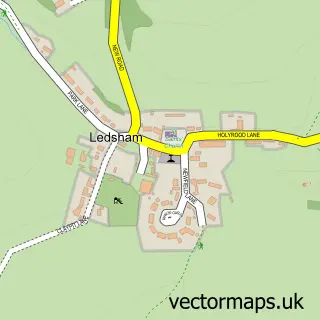
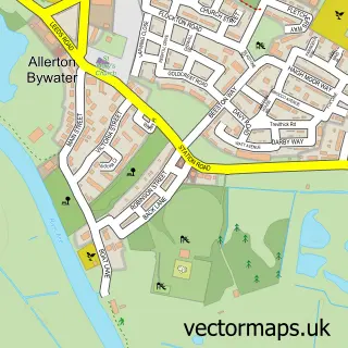
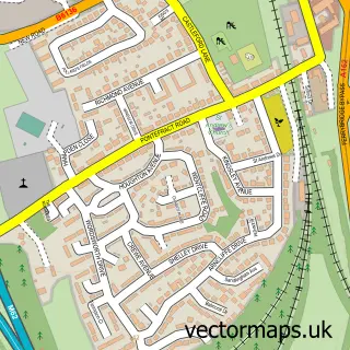
Nearby street map samples around Wheldon

More street maps in West Yorkshire
750 metre map area coverage
Boundary, postcode and point of interest information for the 750m x 750m rectangle centred on this sample map.
Boundaries containing map centre
Constituency: Pontefract, Castleford and Knottingley Co Const
District: Wakefield District (B)
Icb: NHS West Yorkshire ICB
Police Force: west yorkshire
Postcode District: WF10
Postcode Sector: WF10 2
Ward: Airedale and Ferry Fryston Ward
Nearby boundaries intersecting sample
Constituency: Selby Co Const
District: Leeds District (B)
Parish: Ledsham CP
Postcode Sector: WF10 3
Ward: Kippax & Methley Ward
Postcode coverage
POI category counts
Church Cathedral: 1
Family Practice: 1
Gutter Service: 1
International Business And Trade Services: 1
Naturopathic Holistic: 1
Park: 1
Pet Groomer: 1
Physical Therapy: 1
Retirement Home: 1
Sample points of interest
- Holy cross notices, events and more.
- Tieve Tara Medical Centre
- Dirty to Clean
- One Stop Scaffolding & Netting Services
- A Tranquil Soul
- Fryston Country Trail
- Pawfect Canine Grooming
- Sano Physiotherapy Ltd
- Fairburn Vale Care Home
Create a larger editable map of Wheldon
This sample shows only a 750 metre area. To create a larger map of Wheldon, use our map builder to choose your own coverage area, add titles and download editable SVG, PDF and PNG files.
Create a custom map of Wheldon