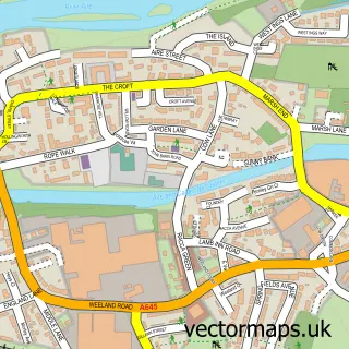
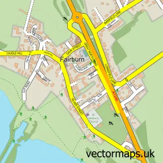
This Brotherton street map is a detailed vector street map covering a 750m x 750m area. Select a larger area to create and download your own vector street map of Brotherton.
The 750-metre map sample for Brotherton covers 183 mapped buildings and approximately 12.0 km of road detail, of which 14 named roads are named. The immediate area includes 2 GP surgeries within 2 miles and 1 MOT station, with 7 within 2 miles. To create a larger or custom map of Brotherton, the map builder lets you define your own coverage area and download editable SVG, PDF and PNG files.
Create a larger editable map of Brotherton
Choose any area you need and generate a high-quality vector map instantly. Perfect for print, planning, design, business and personal use.

This Brotherton street map in North Yorkshire is available as downloadable SVG, PDF and PNG map files, or as a printed map for planning, business, display, education, local information and design work. You can also create a larger custom map area using the map selector.
What this Brotherton map sample shows
Brotherton lies within Brotherton Cp parish, part of Byram & Brotherton ward in the North Yorkshire local authority area. The postcode geography for this area includes the WF postcode area, the WF11 postcode district and the WF11 9 postcode sector. Residents fall under the Nhs Humber And North Yorkshire Integrated Care Board for NHS services.
Local features near Brotherton
Within 2 milesAmenities and services in and around Brotherton.
Administrative and postcode information for Brotherton
Brotherton lies within Brotherton Cp parish, part of Byram & Brotherton ward in the North Yorkshire local authority area. The postcode geography for this area includes the WF postcode area, the WF11 postcode district and the WF11 9 postcode sector. Residents fall under the Nhs Humber And North Yorkshire Integrated Care Board for NHS services.
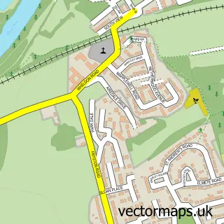
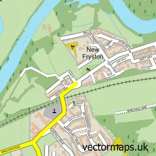
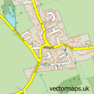
Nearby street map samples around Brotherton


More street maps in North Yorkshire
750 metre map area coverage
Boundary, postcode and point of interest information for the 750m x 750m rectangle centred on this sample map.
Boundaries containing map centre
Constituency: Selby Co Const
District: North Yorkshire
Icb: NHS Humber and North Yorkshire ICB
Parish: Brotherton CP
Police Force: north yorkshire
Postcode District: WF11
Postcode Sector: WF11 9
Nearby boundaries intersecting sample
Constituency: Pontefract, Castleford and Knottingley Co Const
District: Wakefield District (B)
Icb: NHS West Yorkshire ICB
Police Force: west yorkshire
Postcode Sector: WF11 8
Ward: Knottingley Ward
Postcode coverage
POI category counts
Automotive Repair: 3
Assisted Living Facility: 1
Automotive: 1
Building Supply Store: 1
Church Cathedral: 1
Driving School: 1
Event Planning: 1
Housing Cooperative: 1
Pet Groomer: 1
Resort: 1
Sample points of interest
- Anchor Hanover - Hanover Place
- R.C.Vehicle Services
- Brotherton Garage
- Peugeot Citroen Repairs
- Peugeot Parts Specialists
- Yorkshire Fireplace Fitter
- St Edward the Confessor Church
- LDC Driving School
- Just Venues
- Hanover Place - Anchor
- The Bark Shed
- Darrington Hotel
Create a larger editable map of Brotherton
This sample shows only a 750 metre area. To create a larger map of Brotherton, use our map builder to choose your own coverage area, add titles and download editable SVG, PDF and PNG files.
Create a custom map of Brotherton