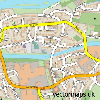
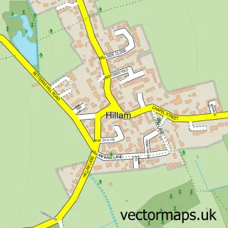
This Burton Salmon street map is a detailed vector street map covering a 750m x 750m area. Select a larger area to create and download your own vector street map of Burton Salmon.
The 750-metre map sample for Burton Salmon covers 149 mapped buildings and approximately 11.4 km of road detail, of which 14 named roads are named. The immediate area includes 1 school, 2 pubs and 4 MOT stations within 2 miles. The wider area around Burton Salmon features 1 tourism point of interest and 2 food and drink venues. To create a larger or custom map of Burton Salmon, the map builder lets you define your own coverage area and download editable SVG, PDF and PNG files.
Create a larger editable map of Burton Salmon
Choose any area you need and generate a high-quality vector map instantly. Perfect for print, planning, design, business and personal use.

This Burton Salmon street map in North Yorkshire is available as downloadable SVG, PDF and PNG map files, or as a printed map for planning, business, display, education, local information and design work. You can also create a larger custom map area using the map selector.
What this Burton Salmon map sample shows
Burton Salmon lies within Burton Salmon Cp parish, part of Monk Fryston ward in the North Yorkshire local authority area. The postcode geography for this area includes the LS postcode area, the LS25 postcode district and the LS25 5 postcode sector. Residents fall under the Nhs Humber And North Yorkshire Integrated Care Board for NHS services.
Local features near Burton Salmon
Within 2 milesAmenities and services in and around Burton Salmon.
Administrative and postcode information for Burton Salmon
The local authority covering Burton Salmon is North Yorkshire, within the county of North Yorkshire. The settlement lies within Monk Fryston ward and Burton Salmon Cp civil parish. The LS25 postcode district and LS25 5 postcode sector serve the immediate area. NHS provision in the area is delivered through Mid Yorkshire Teaching Nhs Trust.
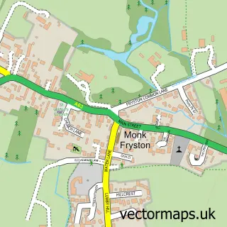
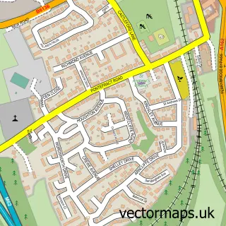
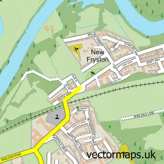
Nearby street map samples around Burton Salmon


More street maps in North Yorkshire
750 metre map area coverage
Boundary, postcode and point of interest information for the 750m x 750m rectangle centred on this sample map.
Boundaries containing map centre
Constituency: Selby Co Const
District: North Yorkshire
Icb: NHS Humber and North Yorkshire ICB
Parish: Burton Salmon CP
Police Force: north yorkshire
Postcode District: LS25
Postcode Sector: LS25 5
Nearby boundaries intersecting sample
Parish: Byram cum Sutton CP
Postcode District: WF11
Postcode Sector: WF11 9
Postcode coverage
POI category counts
Pub: 2
Arts And Entertainment: 1
Community Center: 1
Elementary School: 1
Mortgage Broker: 1
Park: 1
Pet Sitting: 1
Sample points of interest
- SongBugs Singalong
- Burton Salmon Village Hall
- Burton Salmon Community Primary School
- R A Mortgages
- Hambleton Hough
- Safe Hands Pet Services
- Bella Vita Garforth
- The Plough Inn
Create a larger editable map of Burton Salmon
This sample shows only a 750 metre area. To create a larger map of Burton Salmon, use our map builder to choose your own coverage area, add titles and download editable SVG, PDF and PNG files.
Create a custom map of Burton Salmon