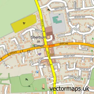
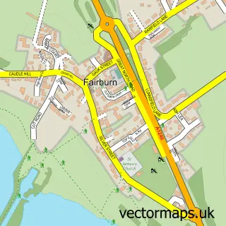
This Monk Fryston street map is a detailed vector street map covering a 750m x 750m area. Select a larger area to create and download your own vector street map of Monk Fryston.
The 750-metre map sample for Monk Fryston covers 278 mapped buildings and approximately 8.7 km of road detail, of which 15 named roads are named. The immediate area includes 1 school, 1 GP surgery within 2 miles, 2 pubs and 1 MOT station within 2 miles. The wider area around Monk Fryston features 2 food and drink venues and 1 hotel. To create a larger or custom map of Monk Fryston, the map builder lets you define your own coverage area and download editable SVG, PDF and PNG files.
Create a larger editable map of Monk Fryston
Choose any area you need and generate a high-quality vector map instantly. Perfect for print, planning, design, business and personal use.

This Monk Fryston street map in North Yorkshire is available as downloadable SVG, PDF and PNG map files, or as a printed map for planning, business, display, education, local information and design work. You can also create a larger custom map area using the map selector.
What this Monk Fryston map sample shows
Monk Fryston lies within Monk Fryston Cp parish, part of Monk Fryston ward in the North Yorkshire local authority area. The postcode geography for this area includes the LS postcode area, the LS25 postcode district and the LS25 5 postcode sector. Residents fall under the Nhs Humber And North Yorkshire Integrated Care Board for NHS services.
Local features near Monk Fryston
Within 2 milesAmenities and services in and around Monk Fryston.
Administrative and postcode information for Monk Fryston
Monk Fryston lies within Monk Fryston Cp parish, part of Monk Fryston ward in the North Yorkshire local authority area. The postcode geography for this area includes the LS postcode area, the LS25 postcode district and the LS25 5 postcode sector. Residents fall under the Nhs Humber And North Yorkshire Integrated Care Board for NHS services.
Nearby street map samples around Monk Fryston


More street maps in North Yorkshire
750 metre map area coverage
Boundary, postcode and point of interest information for the 750m x 750m rectangle centred on this sample map.
Boundaries containing map centre
Constituency: Selby Co Const
District: North Yorkshire
Icb: NHS Humber and North Yorkshire ICB
Parish: Monk Fryston CP
Police Force: north yorkshire
Postcode District: LS25
Postcode Sector: LS25 5
Nearby boundaries intersecting sample
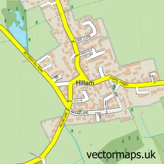
Parish: Hillam CP, South Milford CP
Postcode coverage
POI category counts
Elementary School: 2
Post Office: 2
Pub: 2
Anglican Church: 1
Barber: 1
Bed And Breakfast: 1
Building Supply Store: 1
Business Consulting: 1
Carpet Store: 1
Community Center: 1
Sample points of interest
- St Wilfrid of Ripon
- Barwick Barbers
- The Barn
- Monk Fryston Stoves
- Oakley Associates
- Floors & Snores
- Monk Fryston and Hillam Community Centre
- Baileys Caravan
- Aspire Dance
- Monk Fryston Surgery
- Monk Fryston CE Primary School
- Monk Fryston Church of England Voluntary Controlled Primary School
Create a larger editable map of Monk Fryston
This sample shows only a 750 metre area. To create a larger map of Monk Fryston, use our map builder to choose your own coverage area, add titles and download editable SVG, PDF and PNG files.
Create a custom map of Monk Fryston