Vector Maps logo
Home Why it works Popular maps Districts Samples Customizer Create Your Map
VectorMaps.uk
Home Popular maps Districts Samples Customizer Create Your Map Privacy Disclaimer
Home / UK Maps / North Yorkshire / Byram Map

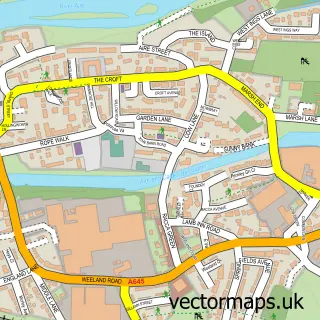
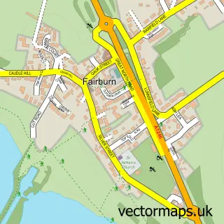
This Byram street map is a detailed vector street map covering a 750m x 750m area. Select a larger area to create and download your own vector street map of Byram.

Byram is a village in North Yorkshire, in the Yorkshire And The Humber of England. Historically, the area formed part of Yorkshire. The settlement falls within the Selby And Ainsty parliamentary constituency. It is served by the WF11 postcode district, wi

The 750-metre map sample for Byram covers 372 mapped buildings and approximately 13.0 km of road detail, of which 25 named roads are named. The immediate area includes 1 GP surgery within 2 miles and 7 MOT stations within 2 miles. The wider area around Byram features 2 tourism points of interest. To create a larger or custom map of Byram, the map builder lets you define your own coverage area and download editable SVG, PDF and PNG files.

372Buildings
12.96 kmRoads
25Named roads
11,250Residents within 2 miles
Create your own

Create a larger editable map of Byram

Choose any area you need and generate a high-quality vector map instantly. Perfect for print, planning, design, business and personal use.

Choose any location
Editable SVG files
Any size up to A0
PDF, PNG & more
Instant download
High quality guaranteed
Create My Custom Map
Secure, private & no credit card required
Byram Vector Street Map
750m Sample
Byram vector street map sample showing roads, buildings and local features in a 750 metre preview area
Buy Byram Map Print from £12.95 Buy Byram Digital Map from £6

This Byram street map in North Yorkshire is available as downloadable SVG, PDF and PNG map files, or as a printed map for planning, business, display, education, local information and design work. You can also create a larger custom map area using the map selector.

What this Byram map sample shows

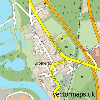
Byram lies within Brotherton Cp parish, part of Byram & Brotherton ward in the North Yorkshire local authority area. The postcode geography for this area includes the WF postcode area, the WF11 postcode district and the WF11 9 postcode sector. Residents fall under the Nhs Humber And North Yorkshire Integrated Care Board for NHS services.

Local features near Byram

Within 2 miles

Amenities and services in and around Byram.

1 GP surgeries within 2 miles
7 MOT stations within 2 miles
2 Tourism & leisure
1 Healthcare POIs

Counts are approximate and based on publicly available data.

Administrative and postcode information for Byram

The local authority covering Byram is North Yorkshire, within the county of North Yorkshire. The settlement lies within Byram & Brotherton ward and Brotherton Cp civil parish. The WF11 postcode district and WF11 9 postcode sector serve the immediate area. NHS provision in the area is delivered through Mid Yorkshire Teaching Nhs Trust.

Parish Brotherton CP
Ward Byram & Brotherton
District / local authority North Yorkshire
County North Yorkshire
Historic county Yorkshire
Postcode district WF11
Postcode sector WF11 9
Parliamentary constituency Selby and Ainsty
Region Yorkshire and the Humber
Country England

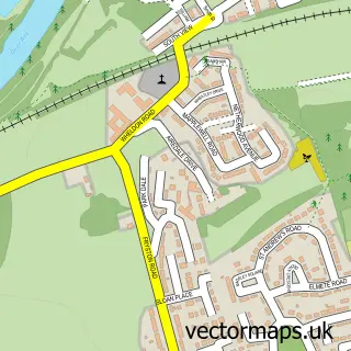
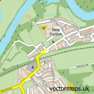
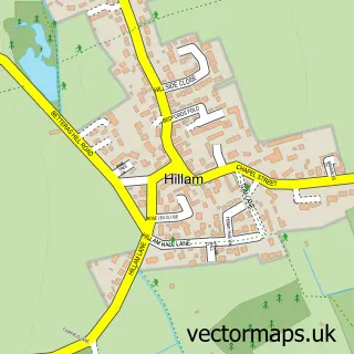
Nearby street map samples around Byram

Street map sample of Knottingley, West Yorkshire Knottingley Town - West Yorkshire - 1.4 miles Street map sample of Wakefield, West Yorkshire Wakefield City - West Yorkshire - 10.1 miles Street map sample of Brotherton, North Yorkshire Brotherton Village - North Yorkshire - 0.5 miles Street map sample of Ferrybridge, West Yorkshire Ferrybridge Village - West Yorkshire - 1.1 miles Street map sample of Burton Salmon, North Yorkshire Burton Salmon Village - North Yorkshire - 1.2 miles Street map sample of Fairburn, North Yorkshire Fairburn Village - North Yorkshire - 1.7 miles Street map sample of Wheldon, West Yorkshire Wheldon Village - West Yorkshire - 2.3 miles Street map sample of New Fryston, West Yorkshire New Fryston Village - West Yorkshire - 2.3 miles Street map sample of Hillam, North Yorkshire Hillam Village - North Yorkshire - 2.4 miles Street map sample of Kellingley, North Yorkshire Kellingley Village - North Yorkshire - 2.6 miles

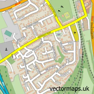
More street maps in North Yorkshire

Street map sample of Brotherton, North Yorkshire Brotherton Village - 0.5 miles Street map sample of Burton Salmon, North Yorkshire Burton Salmon Village - 1.2 miles Street map sample of Fairburn, North Yorkshire Fairburn Village - 1.7 miles Street map sample of Hillam, North Yorkshire Hillam Village - 2.4 miles Street map sample of Kellingley, North Yorkshire Kellingley Village - 2.6 miles

750 metre map area coverage

Boundary, postcode and point of interest information for the 750m x 750m rectangle centred on this sample map.

Boundaries containing map centre

Constituency: Selby Co Const

District: North Yorkshire

Icb: NHS Humber and North Yorkshire ICB

Parish: Byram cum Sutton CP

Police Force: north yorkshire

Postcode District: WF11

Postcode Sector: WF11 9

Nearby boundaries intersecting sample

Parish: Brotherton CP

Postcode coverage

WF11 WF11 9

POI category counts

Beauty Salon: 4

Convenience Store: 3

Key And Locksmith: 2

Pet Store: 2

Accountant: 1

Atms: 1

Auto Customization: 1

Currency Exchange: 1

Doctor: 1

Fish And Chips Restaurant: 1

Sample points of interest

  • Five Star Accountancy Accountant
  • PayPoint Atms
  • BadFoot Customs Auto Customization
  • Fennylane Derma Aesthetics Beauty Salon
  • Hairmazing Studio Beauty Salon
  • Polished Beauty Salon
  • Pure Beauty Beauty Salon
  • Best-one Convenience Store
  • Costcutter - Byram Park Road Convenience Store
  • Premier Convenience Store
  • Post Office Travel Money Currency Exchange
  • Byram Surgery - Ferrybridge Medical Centre Doctor

Create a larger editable map of Byram

This sample shows only a 750 metre area. To create a larger map of Byram, use our map builder to choose your own coverage area, add titles and download editable SVG, PDF and PNG files.

Create a custom map of Byram

Phone 01751 473136 | Copyright Vectormaps.uk 2026

Samples Customizer Privacy Disclaimer
Byram Vector Street Map
Byram enlarged street map sample showing a 750 metre preview area