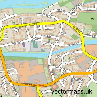
This Hillam street map is a detailed vector street map covering a 750m x 750m area. Select a larger area to create and download your own vector street map of Hillam.
The 750-metre map sample for Hillam covers 247 mapped buildings and approximately 13.4 km of road detail, of which 14 named roads are named. The immediate area includes 1 GP surgery within 2 miles and 1 MOT station within 2 miles. To create a larger or custom map of Hillam, the map builder lets you define your own coverage area and download editable SVG, PDF and PNG files.
Create a larger editable map of Hillam
Choose any area you need and generate a high-quality vector map instantly. Perfect for print, planning, design, business and personal use.

This Hillam street map in North Yorkshire is available as downloadable SVG, PDF and PNG map files, or as a printed map for planning, business, display, education, local information and design work. You can also create a larger custom map area using the map selector.
What this Hillam map sample shows
Hillam lies within Hillam Cp parish, part of Monk Fryston ward in the North Yorkshire local authority area. The postcode geography for this area includes the LS postcode area, the LS25 postcode district and the LS25 5 postcode sector. Residents fall under the Nhs Humber And North Yorkshire Integrated Care Board for NHS services.
Local features near Hillam
Within 2 milesAmenities and services in and around Hillam.
Administrative and postcode information for Hillam
Hillam lies within Hillam Cp parish, part of Monk Fryston ward in the North Yorkshire local authority area. The postcode geography for this area includes the LS postcode area, the LS25 postcode district and the LS25 5 postcode sector. Residents fall under the Nhs Humber And North Yorkshire Integrated Care Board for NHS services.
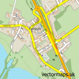
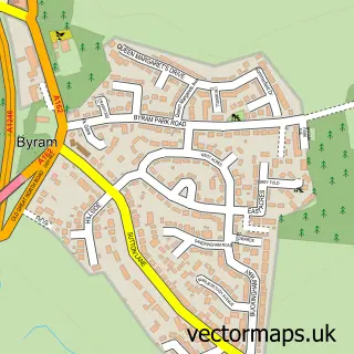
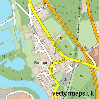
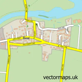
Nearby street map samples around Hillam


More street maps in North Yorkshire
750 metre map area coverage
Boundary, postcode and point of interest information for the 750m x 750m rectangle centred on this sample map.
Boundaries containing map centre
Constituency: Selby Co Const
District: North Yorkshire
Icb: NHS Humber and North Yorkshire ICB
Parish: Hillam CP
Police Force: north yorkshire
Postcode District: LS25
Postcode Sector: LS25 5
Nearby boundaries intersecting sample
Parish: Monk Fryston CP
Postcode coverage
POI category counts
Advertising Agency: 1
British Restaurant: 1
Building Contractor: 1
Business Consulting: 1
Cottage: 1
Financial Advising: 1
Organization: 1
Party Supply: 1
Plumbing: 1
Taxi Service: 1
Sample points of interest
- Dreambig Worldwide
- Cross Keys Hillam
- Fryston Window & Gutter Cleaning
- Page2Page Secretarial Services
- Hall Farm Barns
- Hardman Financial Advice
- Hanover Housing Association
- Balloon Boutique
- John N Dunn Group
- Nessa Executive Travel
Create a larger editable map of Hillam
This sample shows only a 750 metre area. To create a larger map of Hillam, use our map builder to choose your own coverage area, add titles and download editable SVG, PDF and PNG files.
Create a custom map of Hillam