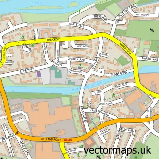
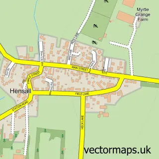
This Eggborough street map is a detailed vector street map covering a 750m x 750m area. Select a larger area to create and download your own vector street map of Eggborough.
The 750-metre map sample for Eggborough covers 491 mapped buildings and approximately 14.6 km of road detail, of which 30 named roads are named. The immediate area includes 1 pub and 2 MOT stations within 2 miles. The wider area around Eggborough features 1 tourism point of interest, 1 food and drink venue and 1 hotel. To create a larger or custom map of Eggborough, the map builder lets you define your own coverage area and download editable SVG, PDF and PNG files.
Create a larger editable map of Eggborough
Choose any area you need and generate a high-quality vector map instantly. Perfect for print, planning, design, business and personal use.

This Eggborough street map in North Yorkshire is available as downloadable SVG, PDF and PNG map files, or as a printed map for planning, business, display, education, local information and design work. You can also create a larger custom map area using the map selector.
What this Eggborough map sample shows
Eggborough lies within Eggborough Cp parish, part of Eggborough ward in the North Yorkshire local authority area. The postcode geography for this area includes the DN postcode area, the DN14 postcode district and the DN14 0 postcode sector. Residents fall under the Nhs Humber And North Yorkshire Integrated Care Board for NHS services.
Local features near Eggborough
Within 2 milesAmenities and services in and around Eggborough.
Administrative and postcode information for Eggborough
Eggborough lies within Eggborough Cp parish, part of Eggborough ward in the North Yorkshire local authority area. The postcode geography for this area includes the DN postcode area, the DN14 postcode district and the DN14 0 postcode sector. Residents fall under the Nhs Humber And North Yorkshire Integrated Care Board for NHS services.
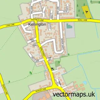
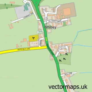
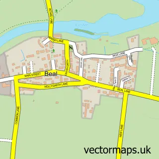
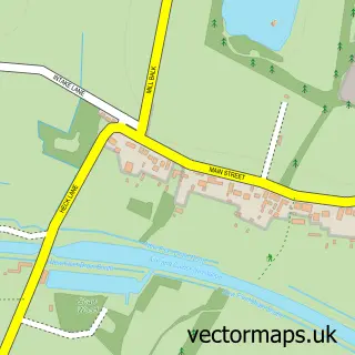
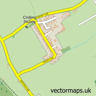
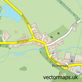
Nearby street map samples around Eggborough


More street maps in North Yorkshire
750 metre map area coverage
Boundary, postcode and point of interest information for the 750m x 750m rectangle centred on this sample map.
Boundaries containing map centre
Constituency: Selby Co Const
District: North Yorkshire
Icb: NHS Humber and North Yorkshire ICB
Parish: Eggborough CP
Police Force: north yorkshire
Postcode District: DN14
Postcode Sector: DN14 0
Nearby boundaries intersecting sample
Parish: Kellington CP
Postcode coverage
POI category counts
Convenience Store: 3
Post Office: 3
Atms: 2
Building Supply Store: 2
Church Cathedral: 2
Freight And Cargo Service: 2
Home Cleaning: 2
Bakery: 1
Beauty Salon: 1
Butcher Shop: 1
Sample points of interest
- ATM (Post Office)
- PayPoint
- Crumbs
- Vogue Hair & Beauty
- J&S Building & Roofing
- Oneserv Ltd
- Gilmers Butchers
- Camping at Westfield Lake.
- Blade Joinery
- Cater Revival
- Eggborough Methodist Church
- Emmanuel Church
Create a larger editable map of Eggborough
This sample shows only a 750 metre area. To create a larger map of Eggborough, use our map builder to choose your own coverage area, add titles and download editable SVG, PDF and PNG files.
Create a custom map of Eggborough