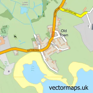
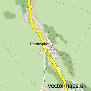
This Higher Town street map is a detailed vector street map covering a 750m x 750m area. Select a larger area to create and download your own vector street map of Higher Town.
The 750-metre map sample for Higher Town covers 83 mapped buildings and approximately 5.4 km of road detail, of which 1 named road are named. The wider area around Higher Town features 1 tourism point of interest, 1 food and drink venue and 1 campsite within 2 miles. To create a larger or custom map of Higher Town, the map builder lets you define your own coverage area and download editable SVG, PDF and PNG files.
Create a larger editable map of Higher Town
Choose any area you need and generate a high-quality vector map instantly. Perfect for print, planning, design, business and personal use.

This Higher Town street map in Cornwall is available as downloadable SVG, PDF and PNG map files, or as a printed map for planning, business, display, education, local information and design work. You can also create a larger custom map area using the map selector.
What this Higher Town map sample shows
Higher Town lies within St. Martin's Cp parish, part of St Martin's ward in the Isles Of Scilly local authority area. The postcode geography for this area includes the TR postcode area, the TR25 postcode district and the TR25 0 postcode sector. Residents fall under the Nhs Cornwall And The Isles Of Scilly Integrated Care Board for NHS services.
Local features near Higher Town
Within 2 milesAmenities and services in and around Higher Town.
Administrative and postcode information for Higher Town
Higher Town lies within St. Martin's Cp parish, part of St Martin's ward in the Isles Of Scilly local authority area. The postcode geography for this area includes the TR postcode area, the TR25 postcode district and the TR25 0 postcode sector. Residents fall under the Nhs Cornwall And The Isles Of Scilly Integrated Care Board for NHS services.
Nearby street map samples around Higher Town

More street maps in Cornwall
750 metre map area coverage
Boundary, postcode and point of interest information for the 750m x 750m rectangle centred on this sample map.
Boundaries containing map centre
Constituency: St. Ives Co Const
District: Isles of Scilly
Icb: NHS Cornwall and the Isles of Scilly ICB
Parish: St. Martin's CP
Police Force: devon and cornwall
Postcode District: TR25
Postcode Sector: TR25 0
Ward: St. Martin's Ward
Nearby boundaries intersecting sample
No additional intersecting boundaries found.
Postcode coverage
POI category counts
Fish And Chips Restaurant: 3
Bakery: 2
Anglican Church: 1
Barber: 1
Cafe: 1
Canoe And Kayak Hire Service: 1
Church Cathedral: 1
Convenience Store: 1
Distillery: 1
Dive Shop: 1
Sample points of interest
- St Martin
- The Island Bakery
- The Island Bakery
- Humanist Whiskey Barber
- Little Arthur Café
- St Martin's Watersports
- St Martin's Church
- St Martins Stores
- SC Dogs Distillery
- Scilly Seal Snorkelling
- Dr Garman & Partners
- Adam's Fish & Chips
Create a larger editable map of Higher Town
This sample shows only a 750 metre area. To create a larger map of Higher Town, use our map builder to choose your own coverage area, add titles and download editable SVG, PDF and PNG files.
Create a custom map of Higher Town