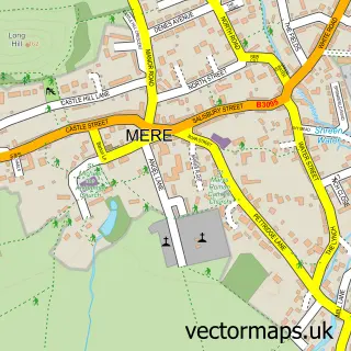
This Hindon street map is a detailed vector street map covering a 750m x 750m area. Select a larger area to create and download your own vector street map of Hindon.
The 750-metre map sample for Hindon covers 187 mapped buildings and approximately 16.5 km of road detail, of which 8 named roads are named. The immediate area includes 1 school, 1 GP surgery and 1 pub. The wider area around Hindon features 2 food and drink venues and 1 hotel. To create a larger or custom map of Hindon, the map builder lets you define your own coverage area and download editable SVG, PDF and PNG files.
Create a larger editable map of Hindon
Choose any area you need and generate a high-quality vector map instantly. Perfect for print, planning, design, business and personal use.

This Hindon street map in Wiltshire is available as downloadable SVG, PDF and PNG map files, or as a printed map for planning, business, display, education, local information and design work. You can also create a larger custom map area using the map selector.
What this Hindon map sample shows
Hindon lies within Hindon Cp parish, part of Nadder And East Knoyle ward in the Wiltshire local authority area. The postcode geography for this area includes the SP postcode area, the SP3 postcode district and the SP3 6 postcode sector. Residents fall under the Nhs Bath And North East Somerset, Swindon And Wiltshire Integrated Care Board for NHS services.
Local features near Hindon
Within 2 milesAmenities and services in and around Hindon.
Administrative and postcode information for Hindon
Hindon lies within Hindon Cp parish, part of Nadder And East Knoyle ward in the Wiltshire local authority area. The postcode geography for this area includes the SP postcode area, the SP3 postcode district and the SP3 6 postcode sector. Residents fall under the Nhs Bath And North East Somerset, Swindon And Wiltshire Integrated Care Board for NHS services.
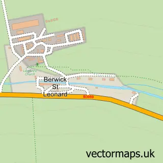
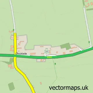
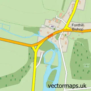
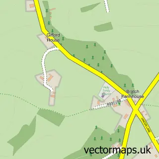
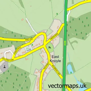
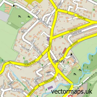
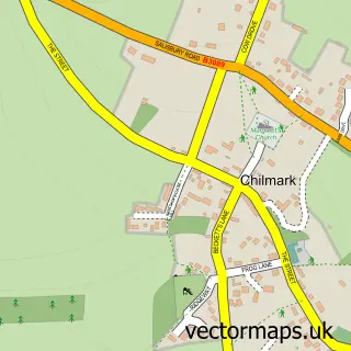
Nearby street map samples around Hindon

More street maps in Wiltshire
750 metre map area coverage
Boundary, postcode and point of interest information for the 750m x 750m rectangle centred on this sample map.
Boundaries containing map centre
Constituency: Salisbury Co Const
District: Wiltshire
Icb: NHS Bath and North East Somerset Swindon and Wiltshire ICB
Parish: Hindon CP
Police Force: wiltshire
Postcode District: SP3
Postcode Sector: SP3 6
Nearby boundaries intersecting sample
No additional intersecting boundaries found.
Postcode coverage
POI category counts
Doctor: 2
Shipping Center: 2
Anglican Church: 1
Church Cathedral: 1
Contractor: 1
Convenience Store: 1
Education: 1
Elementary School: 1
Furniture Store: 1
Gastropub: 1
Sample points of interest
- Hindon: St John the Baptist
- Hindon Village Church
- P F Parsons
- Hindon Village Stores
- Hindon Surgery
- Hindon Surgery
- Douglas James Training Consultants
- Hindon Primary School
- Matthew Burt Furniture Showroom
- The Angel Inn
- Glebe Farm Stud Ltd.
- The Grosvenor Arms Hindon
Create a larger editable map of Hindon
This sample shows only a 750 metre area. To create a larger map of Hindon, use our map builder to choose your own coverage area, add titles and download editable SVG, PDF and PNG files.
Create a custom map of Hindon