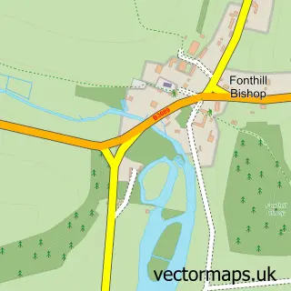
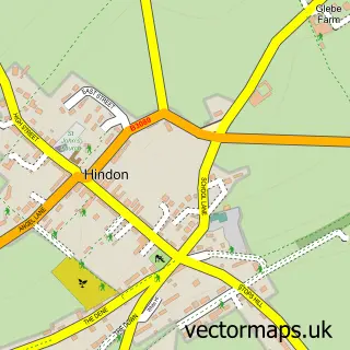
This Tisbury street map is a detailed vector street map covering a 750m x 750m area. Select a larger area to create and download your own vector street map of Tisbury.
The 750-metre map sample for Tisbury covers 420 mapped buildings and approximately 16.3 km of road detail, of which 33 named roads are named. The immediate area includes 1 railway station, 1 GP surgery, 2 pubs and 1 MOT station. The wider area around Tisbury features 3 food and drink venues. To create a larger or custom map of Tisbury, the map builder lets you define your own coverage area and download editable SVG, PDF and PNG files.
Create a larger editable map of Tisbury
Choose any area you need and generate a high-quality vector map instantly. Perfect for print, planning, design, business and personal use.

This Tisbury street map in Wiltshire is available as downloadable SVG, PDF and PNG map files, or as a printed map for planning, business, display, education, local information and design work. You can also create a larger custom map area using the map selector.
What this Tisbury map sample shows
Tisbury lies within Tisbury Cp parish, part of Tisbury ward in the Wiltshire local authority area. The postcode geography for this area includes the SP postcode area, the SP3 postcode district and the SP3 6 postcode sector. Residents fall under the Nhs Bath And North East Somerset, Swindon And Wiltshire Integrated Care Board for NHS services.
Local features near Tisbury
Within 2 milesAmenities and services in and around Tisbury.
Administrative and postcode information for Tisbury
Tisbury lies within Tisbury Cp parish, part of Tisbury ward in the Wiltshire local authority area. The postcode geography for this area includes the SP postcode area, the SP3 postcode district and the SP3 6 postcode sector. Residents fall under the Nhs Bath And North East Somerset, Swindon And Wiltshire Integrated Care Board for NHS services.
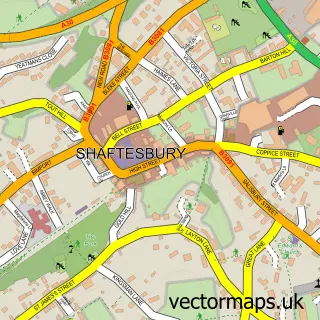
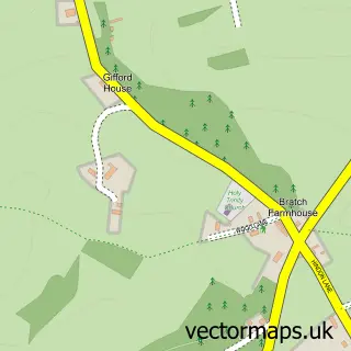
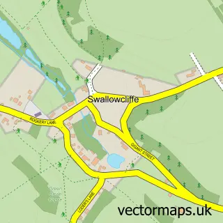
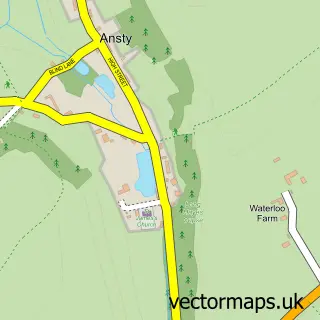
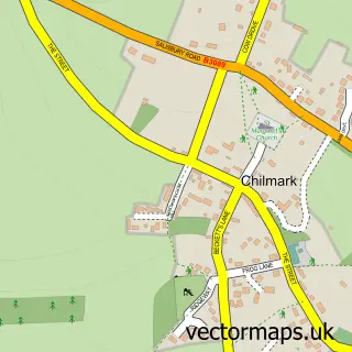
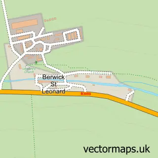
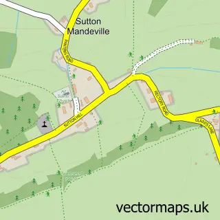
Nearby street map samples around Tisbury

More street maps in Wiltshire
750 metre map area coverage
Boundary, postcode and point of interest information for the 750m x 750m rectangle centred on this sample map.
Boundaries containing map centre
Constituency: Salisbury Co Const
District: Wiltshire
Icb: NHS Bath and North East Somerset Swindon and Wiltshire ICB
Parish: Tisbury CP
Police Force: wiltshire
Postcode District: SP3
Postcode Sector: SP3 6
Nearby boundaries intersecting sample
Parish: West Tisbury CP
Postcode coverage
POI category counts
Church Cathedral: 3
Financial Service: 3
Advertising Agency: 2
Community Services Non Profits: 2
Dentist: 2
Hair Salon: 2
Property Management: 2
Pub: 2
Publicity Service: 2
Train Station: 2
Sample points of interest
- Capoco Design
- Velvet Design Associates Limited
- Tisbury: St John the Baptist
- Heatons
- Kate Good Pottery
- The Cooperative Food (BF) Tisbury (ERF), Tisbury
- Tisbury Motor Company
- NatWest
- Barbering lilith
- Eyelash Extensions with Claudia
- 2 Dorz Down
- Vince Bealing (Stonework & Brickwork)
Create a larger editable map of Tisbury
This sample shows only a 750 metre area. To create a larger map of Tisbury, use our map builder to choose your own coverage area, add titles and download editable SVG, PDF and PNG files.
Create a custom map of Tisbury