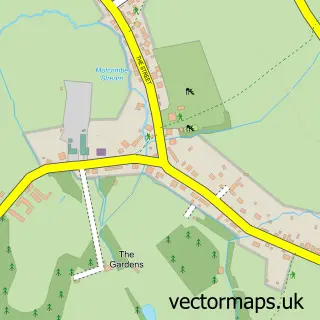
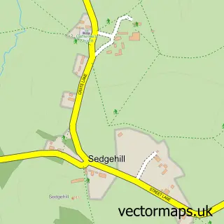
This Shaftesbury street map is a detailed vector street map covering a 750m x 750m area. Select a larger area to create and download your own vector street map of Shaftesbury.
The 750-metre map sample for Shaftesbury covers 386 mapped buildings and approximately 16.9 km of road detail, of which 42 named roads are named. The immediate area includes 6 pubs and 1 MOT station, with 7 within 2 miles. The wider area around Shaftesbury features 5 tourism points of interest, 19 food and drink venues and 4 hotels. To create a larger or custom map of Shaftesbury, the map builder lets you define your own coverage area and download editable SVG, PDF and PNG files.
Create a larger editable map of Shaftesbury
Choose any area you need and generate a high-quality vector map instantly. Perfect for print, planning, design, business and personal use.

This Shaftesbury street map in Dorset is available as downloadable SVG, PDF and PNG map files, or as a printed map for planning, business, display, education, local information and design work. You can also create a larger custom map area using the map selector.
What this Shaftesbury map sample shows
Shaftesbury lies within Shaftesbury Cp parish, part of Shaftesbury Town ward in the Dorset local authority area. The postcode geography for this area includes the SP postcode area, the SP7 postcode district and the SP7 8 postcode sector. Residents fall under the Nhs Dorset Integrated Care Board for NHS services.
Local features near Shaftesbury
Within 2 milesAmenities and services in and around Shaftesbury.
Administrative and postcode information for Shaftesbury
The local authority covering Shaftesbury is Dorset, within the county of Dorset. The settlement lies within Shaftesbury Town ward and Shaftesbury Cp civil parish. The SP7 postcode district and SP7 8 postcode sector serve the immediate area. NHS provision in the area is delivered through Salisbury Nhs Foundation Trust.
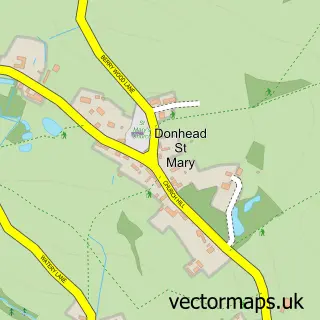
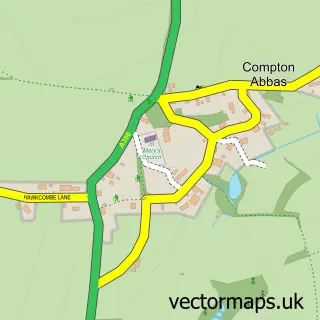
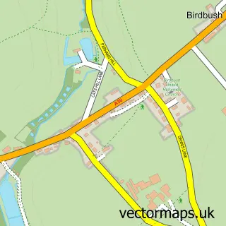
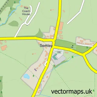
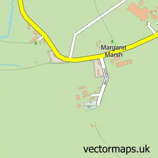
Nearby street map samples around Shaftesbury

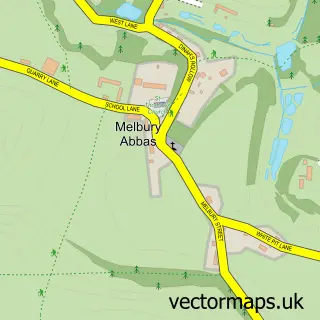
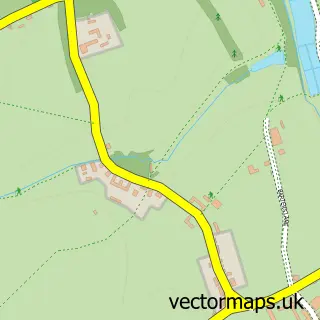
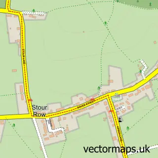
More street maps in Dorset
750 metre map area coverage
Boundary, postcode and point of interest information for the 750m x 750m rectangle centred on this sample map.
Boundaries containing map centre
Constituency: North Dorset Co Const
District: Dorset
Icb: NHS Dorset ICB
Parish: Shaftesbury CP
Police Force: dorset
Postcode District: SP7
Postcode Sector: SP7 8
Ward: Shaftesbury Town Ward
Nearby boundaries intersecting sample
No additional intersecting boundaries found.
Postcode coverage
POI category counts
Flowers And Gifts Shop: 12
Beauty Salon: 9
Coffee Shop: 7
Real Estate Agent: 7
Pub: 6
Barber: 5
Bookstore: 5
Hair Salon: 5
Jewelry Store: 5
Antique Store: 4
Sample points of interest
- Barton Hill House
- Hilltop Cinema
- Acupuncture Here
- Adams Marketing
- Abbey View Complementary Clinic
- Bimport Chiropractic Clinic
- Shaftesbury: St Peter
- ShaftesburyCofE
- St Peter's Church
- Age UK
- Bell Street Antiques
- Dairy House Antiques
Create a larger editable map of Shaftesbury
This sample shows only a 750 metre area. To create a larger map of Shaftesbury, use our map builder to choose your own coverage area, add titles and download editable SVG, PDF and PNG files.
Create a custom map of Shaftesbury