This Holme-on-Spalding-Moor street map is a detailed vector street map covering a 750m x 750m area. Select a larger area to create and download your own vector street map of Holme-on-Spalding-Moor.
The 750-metre map sample for Holme-on-Spalding-Moor covers 425 mapped buildings and approximately 10.6 km of road detail, of which 20 named roads are named. The immediate area includes 1 school and 1 MOT station, with 2 within 2 miles. The wider area around Holme-on-Spalding-Moor features 1 hotel. To create a larger or custom map of Holme-on-Spalding-Moor, the map builder lets you define your own coverage area and download editable SVG, PDF and PNG files.
Create a larger editable map of Holme-on-Spalding-Moor
Choose any area you need and generate a high-quality vector map instantly. Perfect for print, planning, design, business and personal use.

This Holme-on-Spalding-Moor street map in East Riding of Yorkshire is available as downloadable SVG, PDF and PNG map files, or as a printed map for planning, business, display, education, local information and design work. You can also create a larger custom map area using the map selector.
What this Holme-on-Spalding-Moor map sample shows
Holme-on-Spalding-Moor lies within Holme Upon Spalding Moor Cp parish, part of Howdenshire ward in the East Riding Of Yorkshire local authority area. The postcode geography for this area includes the YO postcode area, the YO43 postcode district and the YO43 4 postcode sector. Residents fall under the Nhs Humber And North Yorkshire Integrated Care Board for NHS services.
Local features near Holme-on-Spalding-Moor
Within 2 milesAmenities and services in and around Holme-on-Spalding-Moor.
Administrative and postcode information for Holme-on-Spalding-Moor
The local authority covering Holme-on-Spalding-Moor is East Riding Of Yorkshire, within the county of East Riding Of Yorkshire. The settlement lies within Howdenshire ward and Holme Upon Spalding Moor Cp civil parish. The YO43 postcode district and YO43 4 postcode sector serve the immediate area. NHS provision in the area is delivered through York And Scarborough Teaching Hospitals Nhs Foundation Trust.
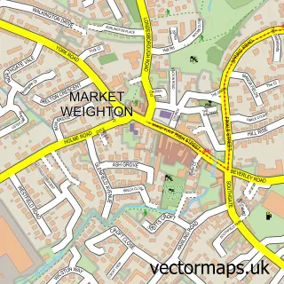
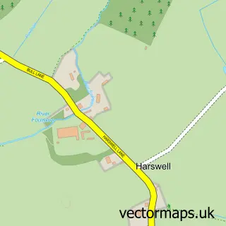
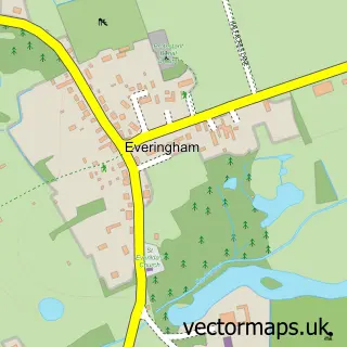
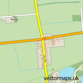
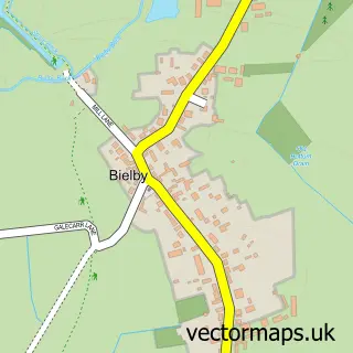
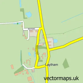
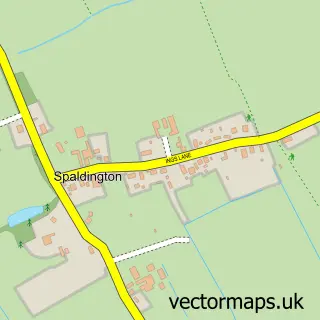
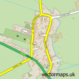
Nearby street map samples around Holme-on-Spalding-Moor


More street maps in East Riding of Yorkshire
750 metre map area coverage
Boundary, postcode and point of interest information for the 750m x 750m rectangle centred on this sample map.
Boundaries containing map centre
Constituency: Goole and Pocklington Co Const
District: East Riding of Yorkshire
Icb: NHS Humber and North Yorkshire ICB
Parish: Holme upon Spalding Moor CP
Police Force: humberside
Postcode District: YO43
Postcode Sector: YO43 4
Ward: Howdenshire Ward
Nearby boundaries intersecting sample
No additional intersecting boundaries found.
Postcode coverage
POI category counts
Computer Store: 2
Construction Services: 2
Convenience Store: 2
Scout Hall: 2
Atms: 1
Audiovisual Equipment Rental: 1
Automotive Parts And Accessories: 1
Automotive Repair: 1
Butcher Shop: 1
Charity Organization: 1
Sample points of interest
- Morrisons Daily - Holme Upon Spalding Runner, Holme Upon Spalding Moor
- L.C.S Crane Hire
- Hypersport Performance
- Crown Commercials
- A Laverack & Son
- Holme Helpers
- Computer Care
- computercare.co.uk
- Pds
- Tiny Spaces
- Margaret's D.I.Y
- Morrisons Daily
Create a larger editable map of Holme-on-Spalding-Moor
This sample shows only a 750 metre area. To create a larger map of Holme-on-Spalding-Moor, use our map builder to choose your own coverage area, add titles and download editable SVG, PDF and PNG files.
Create a custom map of Holme-on-Spalding-Moor