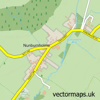
This Market Weighton street map is a detailed vector street map covering a 750m x 750m area. Select a larger area to create and download your own vector street map of Market Weighton.
The 750-metre map sample for Market Weighton covers 661 mapped buildings and approximately 19.6 km of road detail, of which 54 named roads are named. The immediate area includes 1 GP surgery within 2 miles, 8 pubs and 1 MOT station, with 3 within 2 miles. The wider area around Market Weighton features 1 tourism point of interest and 12 food and drink venues. To create a larger or custom map of Market Weighton, the map builder lets you define your own coverage area and download editable SVG, PDF and PNG files.
Create a larger editable map of Market Weighton
Choose any area you need and generate a high-quality vector map instantly. Perfect for print, planning, design, business and personal use.

This Market Weighton street map in East Riding of Yorkshire is available as downloadable SVG, PDF and PNG map files, or as a printed map for planning, business, display, education, local information and design work. You can also create a larger custom map area using the map selector.
What this Market Weighton map sample shows
Market Weighton lies within Market Weighton Cp parish, part of Wolds Weighton ward in the East Riding Of Yorkshire local authority area. The postcode geography for this area includes the YO postcode area, the YO43 postcode district and the YO43 3 postcode sector. Residents fall under the Nhs Humber And North Yorkshire Integrated Care Board for NHS services.
Local features near Market Weighton
Within 2 milesAmenities and services in and around Market Weighton.
Administrative and postcode information for Market Weighton
Market Weighton lies within Market Weighton Cp parish, part of Wolds Weighton ward in the East Riding Of Yorkshire local authority area. The postcode geography for this area includes the YO postcode area, the YO43 postcode district and the YO43 3 postcode sector. Residents fall under the Nhs Humber And North Yorkshire Integrated Care Board for NHS services.
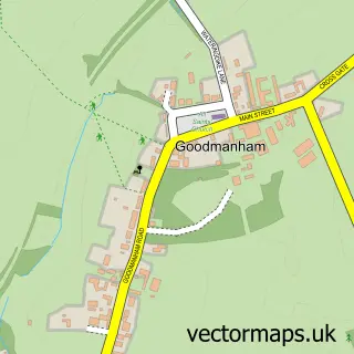
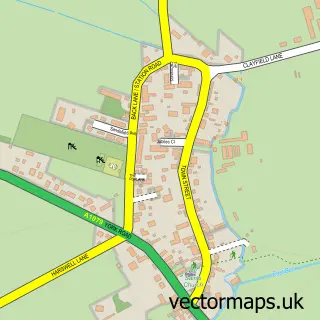
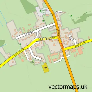
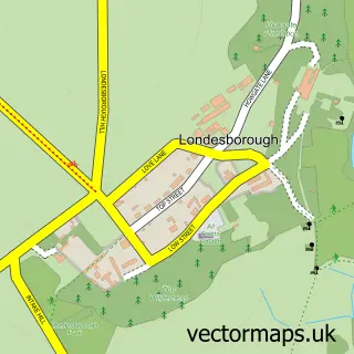
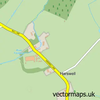
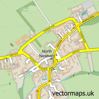
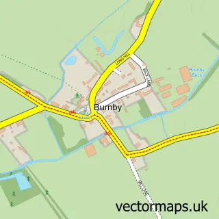
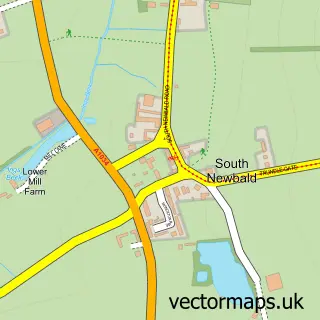
Nearby street map samples around Market Weighton

More street maps in East Riding of Yorkshire
750 metre map area coverage
Boundary, postcode and point of interest information for the 750m x 750m rectangle centred on this sample map.
Boundaries containing map centre
Constituency: Bridlington and The Wolds Co Const
District: East Riding of Yorkshire
Icb: NHS Humber and North Yorkshire ICB
Parish: Market Weighton CP
Police Force: humberside
Postcode District: YO43
Postcode Sector: YO43 3
Ward: Wolds Weighton Ward
Nearby boundaries intersecting sample
No additional intersecting boundaries found.
Postcode coverage
POI category counts
Beauty Salon: 9
Banks: 8
Pub: 8
Real Estate Agent: 5
Fish And Chips Restaurant: 4
Flowers And Gifts Shop: 4
Hair Salon: 4
Pizza Restaurant: 4
Professional Services: 4
Advertising Agency: 3
Sample points of interest
- TaxAssist Accountants
- Forward and Thinking
- Inca Graphics
- Wold Outdoor
- The Wellbeing Centre
- Market Weighton All Saints
- Coffee Cake Create - Pottery Studio & Coffeehouse
- Sky Lounge Restaurant & Bar
- Northgate House
- The Mortgage Advice Centre
- Beadle Motor Services
- Caked Up
Create a larger editable map of Market Weighton
This sample shows only a 750 metre area. To create a larger map of Market Weighton, use our map builder to choose your own coverage area, add titles and download editable SVG, PDF and PNG files.
Create a custom map of Market Weighton