This Honiton street map is a detailed vector street map covering a 750m x 750m area. Select a larger area to create and download your own vector street map of Honiton.
The 750-metre map sample for Honiton covers 400 mapped buildings and approximately 17.8 km of road detail, of which 49 named roads are named. The immediate area includes 1 primary school and 1 secondary school, 1 railway station, 1 GP surgery within 2 miles and 7 pubs among other local services. The wider area around Honiton features 2 tourism points of interest, 23 food and drink venues and 1 hotel. To create a larger or custom map of Honiton, the map builder lets you define your own coverage area and download editable SVG, PDF and PNG files.
Create a larger editable map of Honiton
Choose any area you need and generate a high-quality vector map instantly. Perfect for print, planning, design, business and personal use.

This Honiton street map in Devon is available as downloadable SVG, PDF and PNG map files, or as a printed map for planning, business, display, education, local information and design work. You can also create a larger custom map area using the map selector.
What this Honiton map sample shows
Honiton lies within Honiton Cp parish, part of Honiton St Paul's ward in the East Devon District local authority area. The postcode geography for this area includes the EX postcode area, the EX14 postcode district and the EX14 1 postcode sector. Residents fall under the Nhs Devon Integrated Care Board for NHS services.
Local features near Honiton
Within 2 milesAmenities and services in and around Honiton.
Administrative and postcode information for Honiton
The local authority covering Honiton is East Devon District, within the county of Devon. The settlement lies within Honiton St Paul's ward and Honiton Cp civil parish. The EX14 postcode district and EX14 1 postcode sector serve the immediate area. NHS provision in the area is delivered through Royal Devon University Healthcare Nhs Foundation Trust.
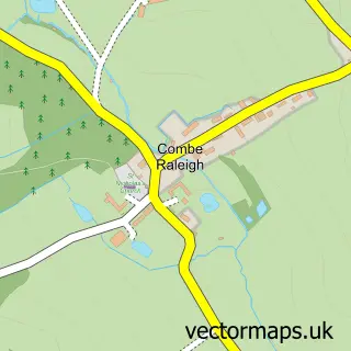
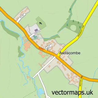
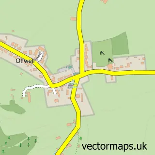
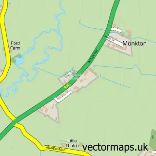
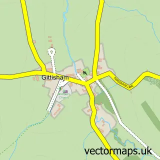
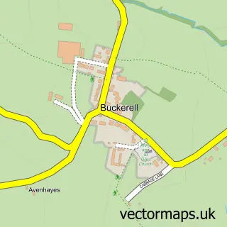
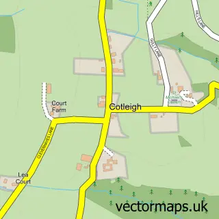
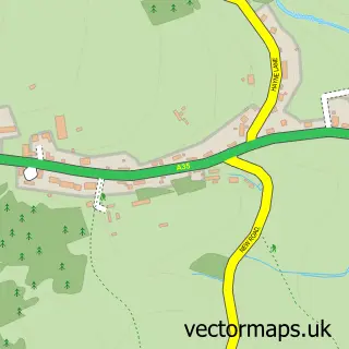
Nearby street map samples around Honiton

More street maps in Devon
750 metre map area coverage
Boundary, postcode and point of interest information for the 750m x 750m rectangle centred on this sample map.
Boundaries containing map centre
Constituency: Honiton and Sidmouth Co Const
County: Devon County
District: East Devon District
Icb: NHS Devon ICB
Parish: Honiton CP
Police Force: devon and cornwall
Postcode District: EX14
Postcode Sector: EX14 1
Ward: Honiton St. Paul's Ward
Nearby boundaries intersecting sample
Postcode Sector: EX14 2
Ward: Honiton St. Michael's Ward
Postcode coverage
POI category counts
Hair Salon: 18
Beauty Salon: 14
Antique Store: 12
Clothing Store: 9
Flowers And Gifts Shop: 9
Real Estate Agent: 8
Barber: 7
Cafe: 7
Charity Organization: 7
Church Cathedral: 7
Sample points of interest
- Griffin Chartered Accountants
- Northams Chartered Accountants
- Simon A Martin
- Vernon Accounting
- Westcotts Chartered Accountants & Business Advisers
- Honiton Gym Club
- Marketing Chameleon
- Honiton And District Agricultural Association
- Honiton Osteopathic Centre
- Jenny Lidster Hypnotherapy
- Lynn Martin
- Sue Vaughan
Create a larger editable map of Honiton
This sample shows only a 750 metre area. To create a larger map of Honiton, use our map builder to choose your own coverage area, add titles and download editable SVG, PDF and PNG files.
Create a custom map of Honiton