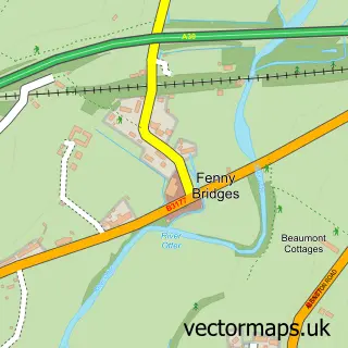
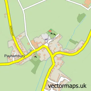
This Awliscombe street map is a detailed vector street map covering a 750m x 750m area. Select a larger area to create and download your own vector street map of Awliscombe.
The 750-metre map sample for Awliscombe covers 87 mapped buildings and approximately 7.0 km of road detail, of which 5 named roads are named. The immediate area includes 1 school, 1 pub and 7 MOT stations within 2 miles. The wider area around Awliscombe features 1 food and drink venue. To create a larger or custom map of Awliscombe, the map builder lets you define your own coverage area and download editable SVG, PDF and PNG files.
Create a larger editable map of Awliscombe
Choose any area you need and generate a high-quality vector map instantly. Perfect for print, planning, design, business and personal use.

This Awliscombe street map in Devon is available as downloadable SVG, PDF and PNG map files, or as a printed map for planning, business, display, education, local information and design work. You can also create a larger custom map area using the map selector.
What this Awliscombe map sample shows
Awliscombe lies within Awliscombe Cp parish, part of Dunkeswell & Otterhead ward in the East Devon District local authority area. The postcode geography for this area includes the EX postcode area, the EX14 postcode district and the EX14 3 postcode sector. Residents fall under the Nhs Devon Integrated Care Board for NHS services.
Local features near Awliscombe
Within 2 milesAmenities and services in and around Awliscombe.
Administrative and postcode information for Awliscombe
Awliscombe lies within Awliscombe Cp parish, part of Dunkeswell & Otterhead ward in the East Devon District local authority area. The postcode geography for this area includes the EX postcode area, the EX14 postcode district and the EX14 3 postcode sector. Residents fall under the Nhs Devon Integrated Care Board for NHS services.
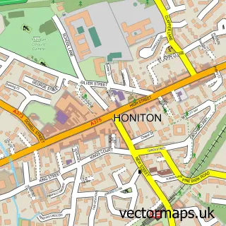
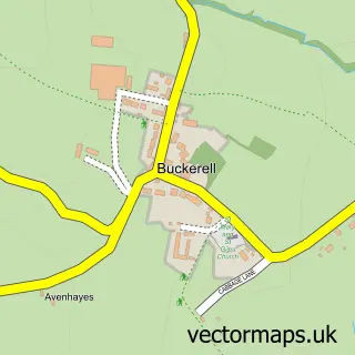
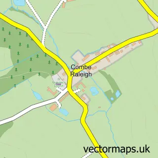
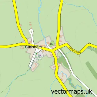
Nearby street map samples around Awliscombe

More street maps in Devon
750 metre map area coverage
Boundary, postcode and point of interest information for the 750m x 750m rectangle centred on this sample map.
Boundaries containing map centre
Constituency: Honiton and Sidmouth Co Const
County: Devon County
District: East Devon District
Icb: NHS Devon ICB
Parish: Awliscombe CP
Police Force: devon and cornwall
Postcode District: EX14
Postcode Sector: EX14 3
Ward: Dunkeswell & Otterhead Ward
Nearby boundaries intersecting sample
No additional intersecting boundaries found.
Postcode coverage
POI category counts
Anglican Church: 1
Elementary School: 1
Farm: 1
Furniture Store: 1
Professional Services: 1
Pub: 1
Race Track: 1
Sample points of interest
- St Michael and All Angels, Awliscombe
- Awliscombe Primary School
- Godford Land Farm
- Nick Thwaites Furniture
- Creative Beings
- Honiton Inn, Awliscombe
- East Devon Slot Racing Club
Create a larger editable map of Awliscombe
This sample shows only a 750 metre area. To create a larger map of Awliscombe, use our map builder to choose your own coverage area, add titles and download editable SVG, PDF and PNG files.
Create a custom map of Awliscombe